 |
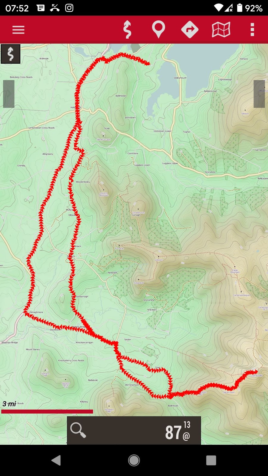
| Whole track 42 miles |
 |
| Hiking part: 6.8 miles there and back |
I passed the access point (trail head) on my way back from Keadeen and, after checking the map, this sparked enough interest to do it. My cycle route was similar, and I parked the bike at Ballinabarney Gap and set off. It was Sunday afternoon and I met several other hikers including a couple possibly older that 1, which was kind of encouraging.
 |
| Kelsha Bridge over Slaney |
 |
| A cool place to swim (literally) |
On the way there, and again on the way home, I stopped for a swim in the Slaney River. Why not, I asked myself? After all I'm here to enjoy myself.
My photos follow, or if you prefer a Google Album go here.
 |
| The access point / trail head |
 |
| Looking back climbing Ballineddan 704m |
 |
| The goal before me |
 |
| Slievemaan summit 811m |
 |
| Looking back to Keadeen |
 |
| Lugnaquilla, two hikers coming over the crest |
 |
| From the summit |
 |
| Others were there |
 |
| Mostly kitted up |
 |
| Turlough Hill somewhere in the distance |
 |
| A thingy to tell what you're looking at |
 |
| The military warning sign |
 |
| Returning |
 |
| Goodbye Lugnaquilla |


No comments:
Post a Comment