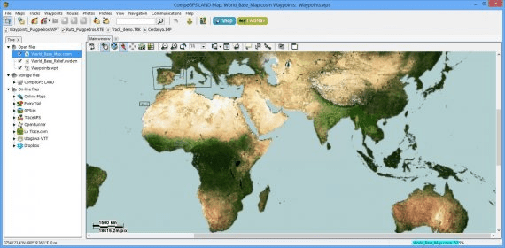
Whit this program you can open all types of maps: topographic, vectorial, scanned maps or even satellite pictures. You will be able to switch from one to another map, combine the information of several maps using an advanced transparency system or even use the multiple windows to display them separately. Plan your route with just a few clicks through a friendly, very intuitive and fully customizable interface.
Switch to 3D view to start an incredible experience in which you will get a better appreciation of map elevations. After that, all that remains is send the data to your TwoNav GPS (compatible with other GPS brands such as Garmin, Magellan...).
CompeGPS Land is the best way to plan, analyse and make each of your trips unforgettable.

An application for planning routes & managing routes, waypoints and trackpoints.


Comments (1)