The Route: Goatfell and North Goatfell | Distance: 12.4km | Time: 4 Hrs
Height gain: 954m | Max Altitude: 874m
Start: Brodick Castle Grounds | Finish: Corrie
Map: OS Explorer OL361 | Date: 12/06/2012

The clouds finally lifted after a week spent on the island and the high summits where finally revealed for the first time since landing ashore all those days ago. The opportunity had come at last – Summit Day!
I excitedly packed my rucksack before I’d even had time to consume my breakfast. The car door was quickly slammed shut and I drove south towards The Goatfell Range eager for some high adventure in Arran’s highest mountains.
Arriving in a cloud of dust in the grounds of Brodick Castle I jumped out of the car leaving my long suffering girlfriend behind at the tent and started out purposefully bounding up the well trod trail deep into the woods that cloak the foothills of Arran’s grandest peak.

It was still early morning and I had near total solitude as I strode through the dark pine plantations with only the occasional bird song for company. My stomach rumbled as my body punished me for my lack of a hearty breakfast. Steadily the sun went about the business of burning off the clouds and mist of the morning and teased me with occasional glimpses of the mountains that lay ahead between a thick curtain of coniferous trees.
This was what I had travelled all the way to Scotland for, pristine wilderness and magnificent mountains, the kind that are hard to find in other parts of the UK especially on this kind of scale and grandeur.
Soon enough I emerged from the darkened woods and entered into the upland realms of this most magnificent mountain range. The scenery dramatically changed as mountain burns tumbled over granite boulders replacing the gentle streams, and the skylark’s call replaced the woodland birdsong that had been accompanying me on my walk so far.

I continued apace over bracken and heather covered slopes always rising with my surroundings beginning to change into a more rugged appearance. I crossed a small water channel that had been cut deep into the hillside before reaching a tall deer fence which I passed through taking me onto Scottish National Trust land.
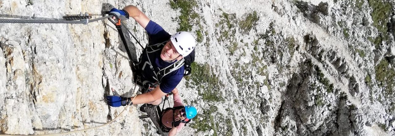
The ground now became wet and grassy with heather and boulders strewn everywhere, I stuck tightly to the trail as the gradient increased dramatically. I now began to climb for real for the first time, carefully negotiating the tough climb up onto the shoulder of Meall Breac where the path now swung left and headed directly for the summit. This would prove to be the toughest part of the ascent as the path weaved steeply between rocky boulders and dramatic granite outcrops with ever more exposed drop-offs all set off against the ever expansive views out to sea.


Suddenly I found myself plumb on the summit of the highest mountain on Arran. It had happened very suddenly and without any fanfare. The summit is composed of a bare table of granite with occasional rocky outcrops and the unobtrusive trig point which informed me of what my GPS had already told me that I was indeed standing at 874m above sea-level and now undisputedly at the highest point on the island.


The views from the top were truly sublime on a now sunny day and all felt good with the world. The satisfaction of knowing that I would not be leaving the island without having summited it’s highest mountain alleviated any sense of underachievement I had felt all week and instead my veins were filled with a gushing contentment. Then the scourge of the climber (or alternatively the very reason that we climb mountains) surfaced inside me and the thought of bagging North Goatfell along the ridge started filling my head with all kinds of crazy ideas.

Now that I was up high then why not take advantage of the situation and after all the Stacach Ridge ahead looked mightily inviting! Why just descend back the way I had come! How boring! So I left the summit ridge bound instead in the direction of North Goatfell, at 818m the next most striking peak in the vicinity.
The ridge was both tricky and technical in equal measure as I constantly battled to route find through the maze of rocky outcrops and vertical drop-offs that littered the path. Several gullies led me astray but I eventually emerged within metres of my goal and scrambled up the last tricky section to sit astride the rocky summit slab of North Goatfell.
There I sat astride the cold stone slab and tucked into my well earnt lunch with fantastic views in every direction. Cir Mhor to my left looked as imposing as ever and I so wanted to have a crack at it, but time was alas not on my side and so she would have to wait for another visit, instead I reluctantly started to descend via Coire Lan towards Corrie Burn which would lead me back down to the sea and Port nam Balach where hopefully my ever dutiful girlfriend would be waiting in the car having driven from Brodick to meet me.
")

As I descended I took some last long lingering looks at the mountains behind me. They looked so majestic, so rugged, so wild that I longed to be able to stay especially now that the weather seemed to have turned more favourable. Regrettably though this was the end of my trip to Arran and I was ferry bound in the morning for the mainland with the long drive back to the flat and featureless landscape of southern England.
Arran had been a blast and if the weather had been more clement this trip could have been an all time classic but we both left the island with a sense that there was such a lot of unfinished business, the mountains had only revealed themselves ever so fleetingly to us and had left us both wanting more, there was so much still to see and explore, but would we ever get another chance, would we ever get back to Arran again, that was and is the nagging question we now have.
The Highs and the Lows. Altitude Data supplied via socialhiking.org.uk
Find all the Interactive Route Maps from my trip to Arran here:
https://my.viewranger.com/track/details/MTA1OTU2
See more photos from my Isle of Arran Adventure on flickr by clicking on this link: flickr
Next post coming soon – Up The Mekong!

Reblogged this on stellapark2006 and commented:
Looks a great place to hikle !!
LikeLike
If the weather is on your side it is one of the most beautiful and dramatic places I have been lucky enough to hike in. Being an island though with a mountainous interior the weather is constantly shifting. I had one clear summit day in almost a week of camping on the island. Glad you liked the post.
LikeLike
Great memories. Been twice to Arran, summer and winter.
LikeLike
Thanks for reading the blog. Seems along time ago now that I was standing on Goatfell’s summit!
LikeLike
Yeah but not a mention of what you Found up there?? a depression in a rock maybe???
Then you walked over the sleeping warrior, to get down
LikeLike
Hi David, to be fair I was getting eaten alive by the Scottish Midges once I reached the summit and therefore headed off along the ridge pretty quickly. Although I do describe it as such in the above post:
The summit is composed of a bare table of granite with occasional rocky outcrops. The unobtrusive trig point informed me of what my GPS had already told me, that I was in fact standing at 874m above sea-level and now undisputedly at the highest point on the island.
LikeLike
Hi thanks ffor posting this
LikeLike