By Marty Mayfield
KRTN Multi-Media
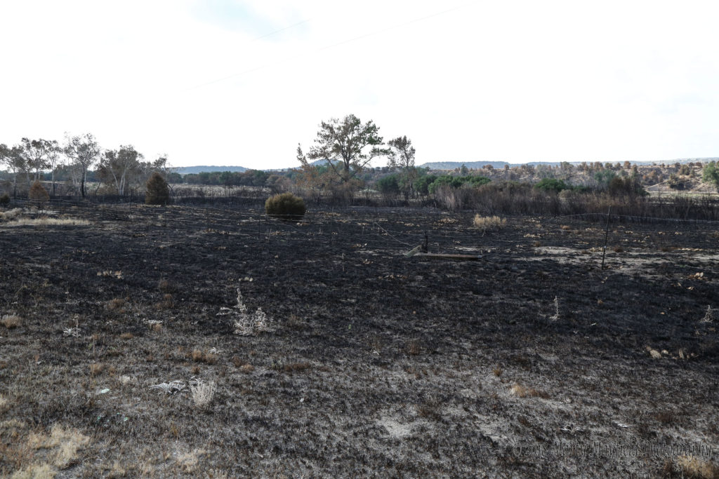
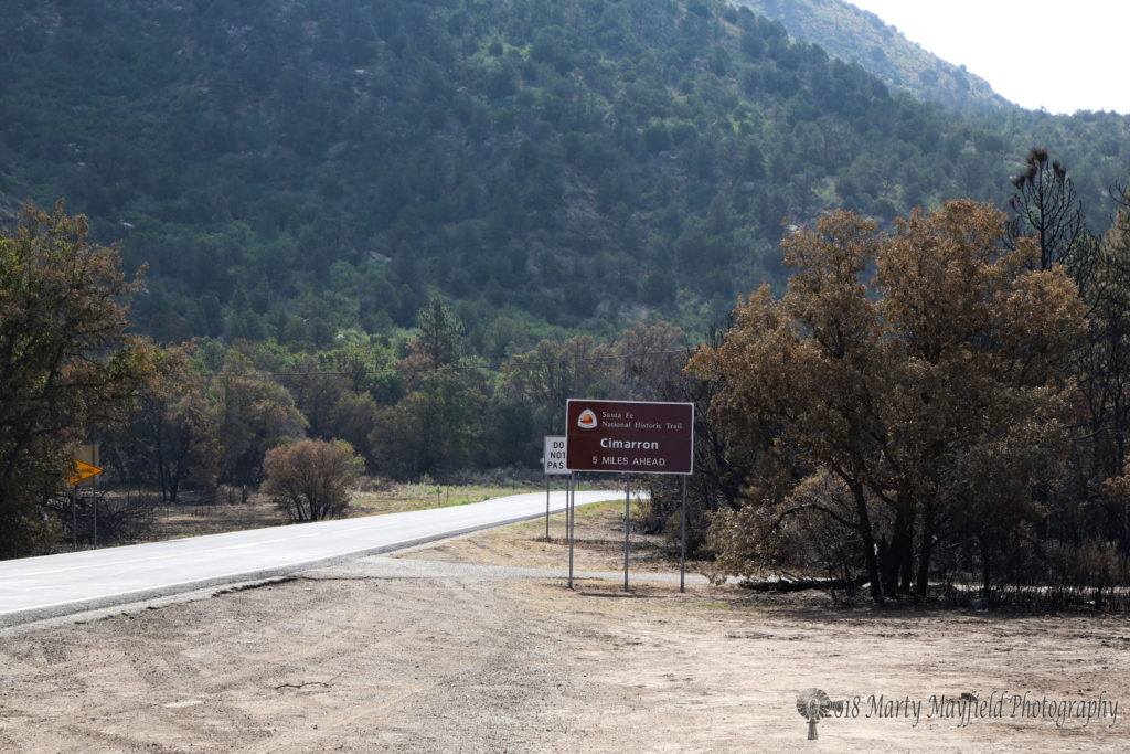
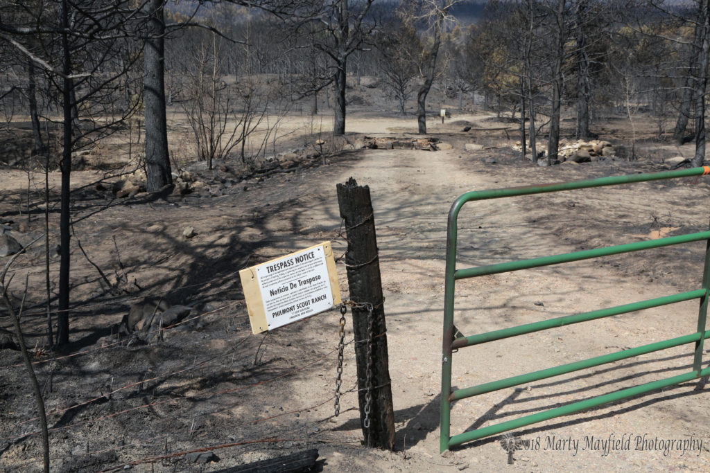
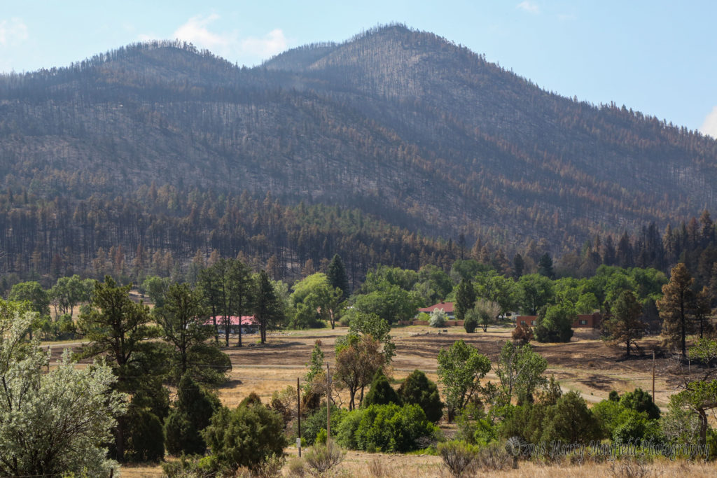
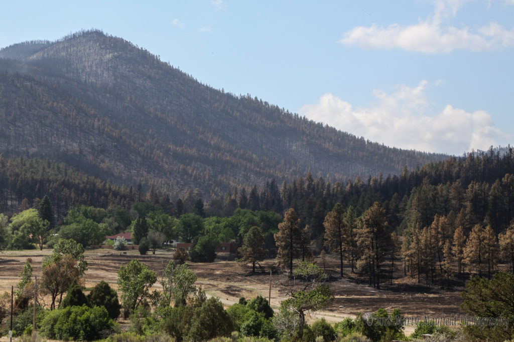
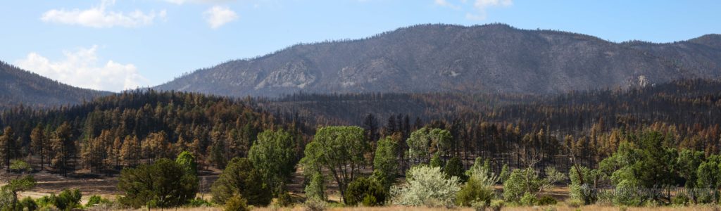
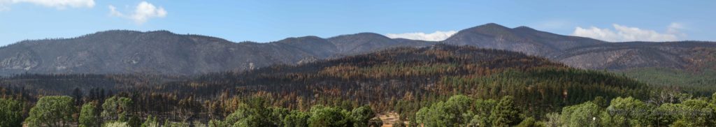
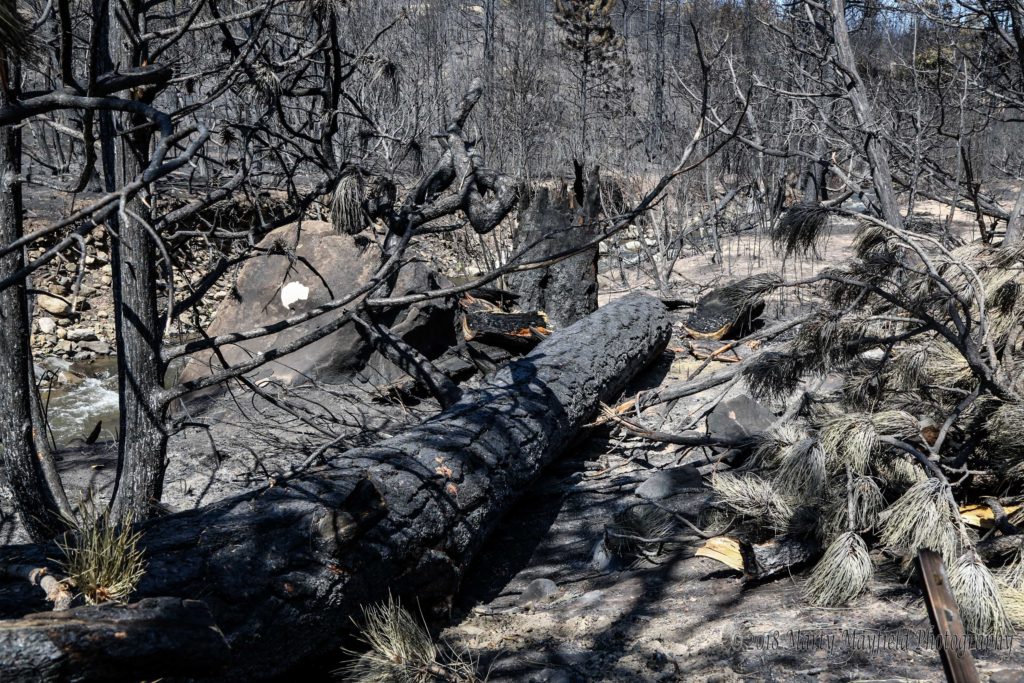
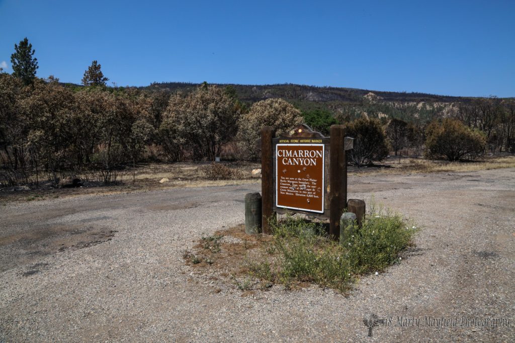
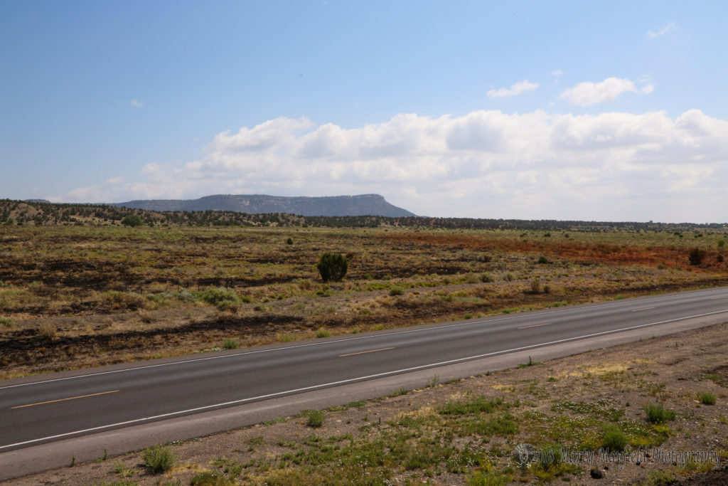
It has been just under two weeks since the Ute Park Fire began and exploded into a monster of a fire scorching 36,740 acres, at last report, on both sides of Highway 64 between Ute Park and Cimarron.
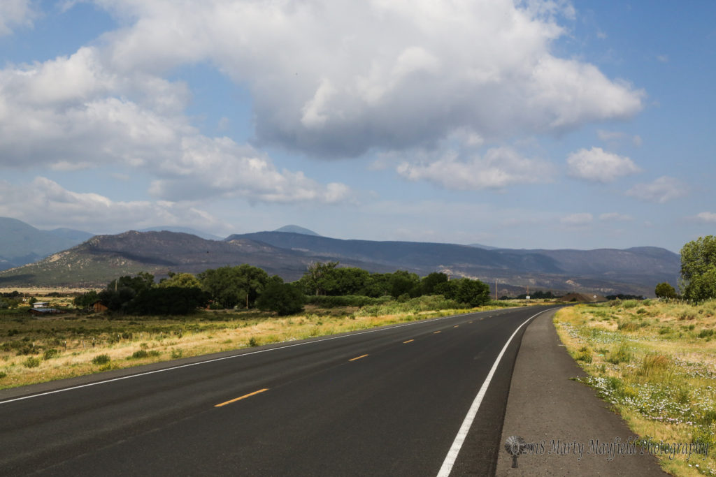
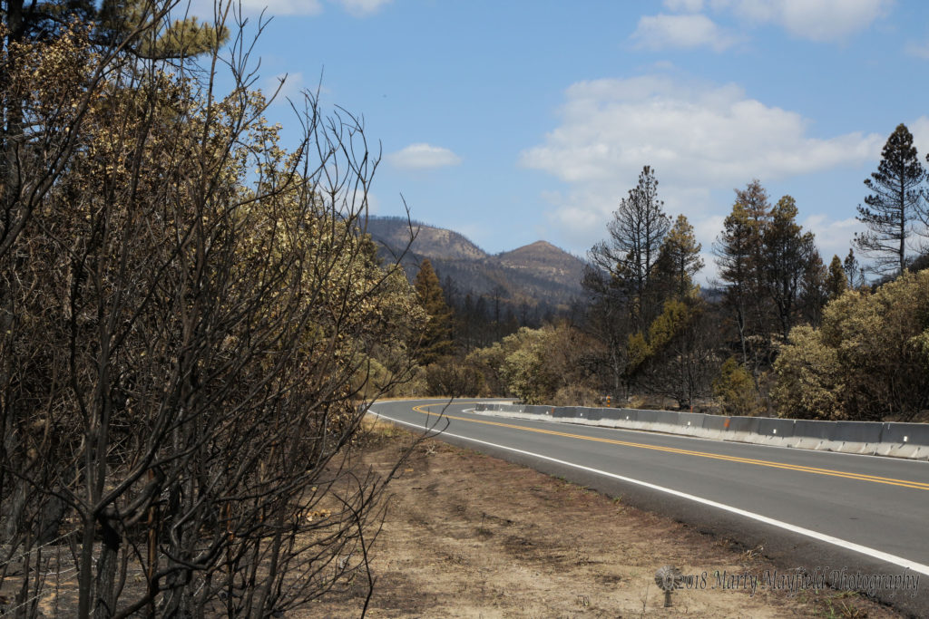
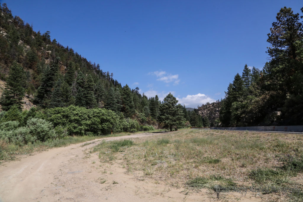
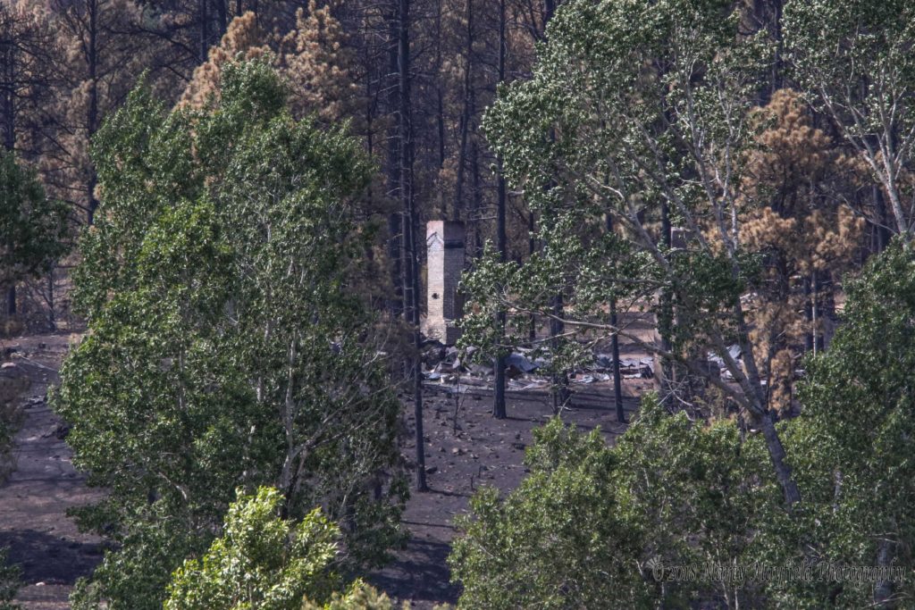
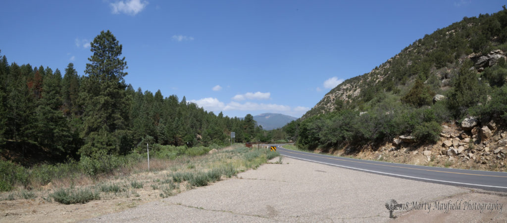
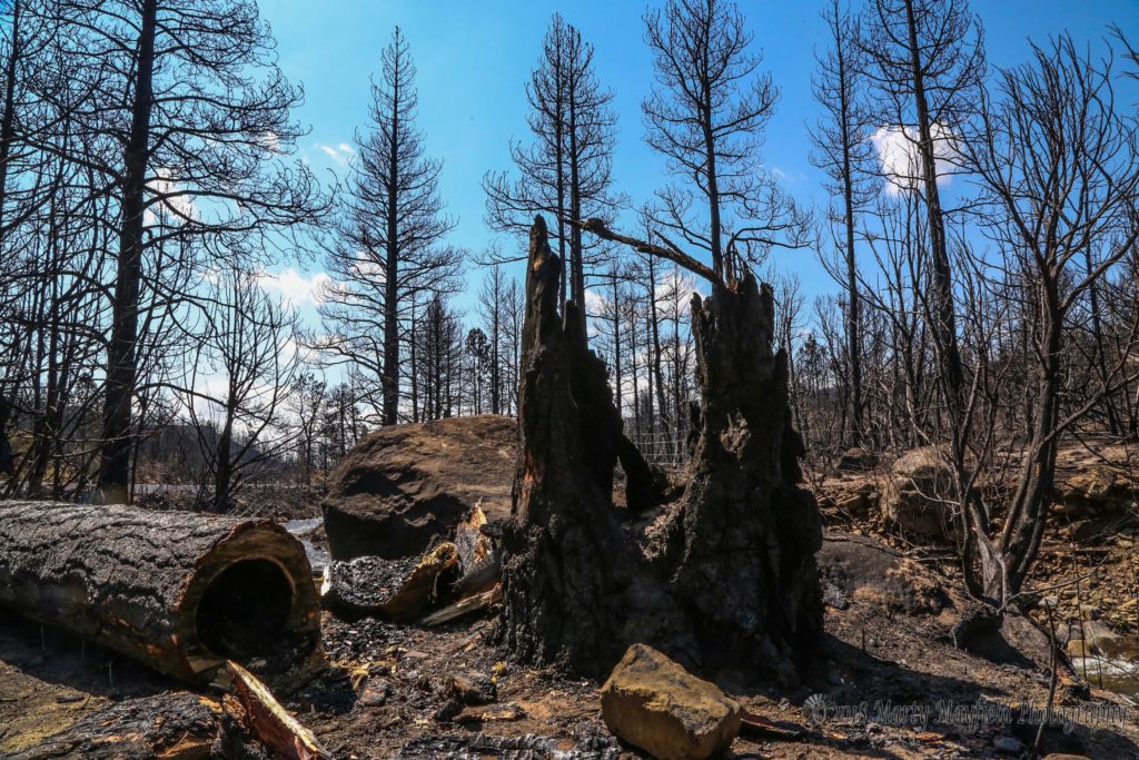
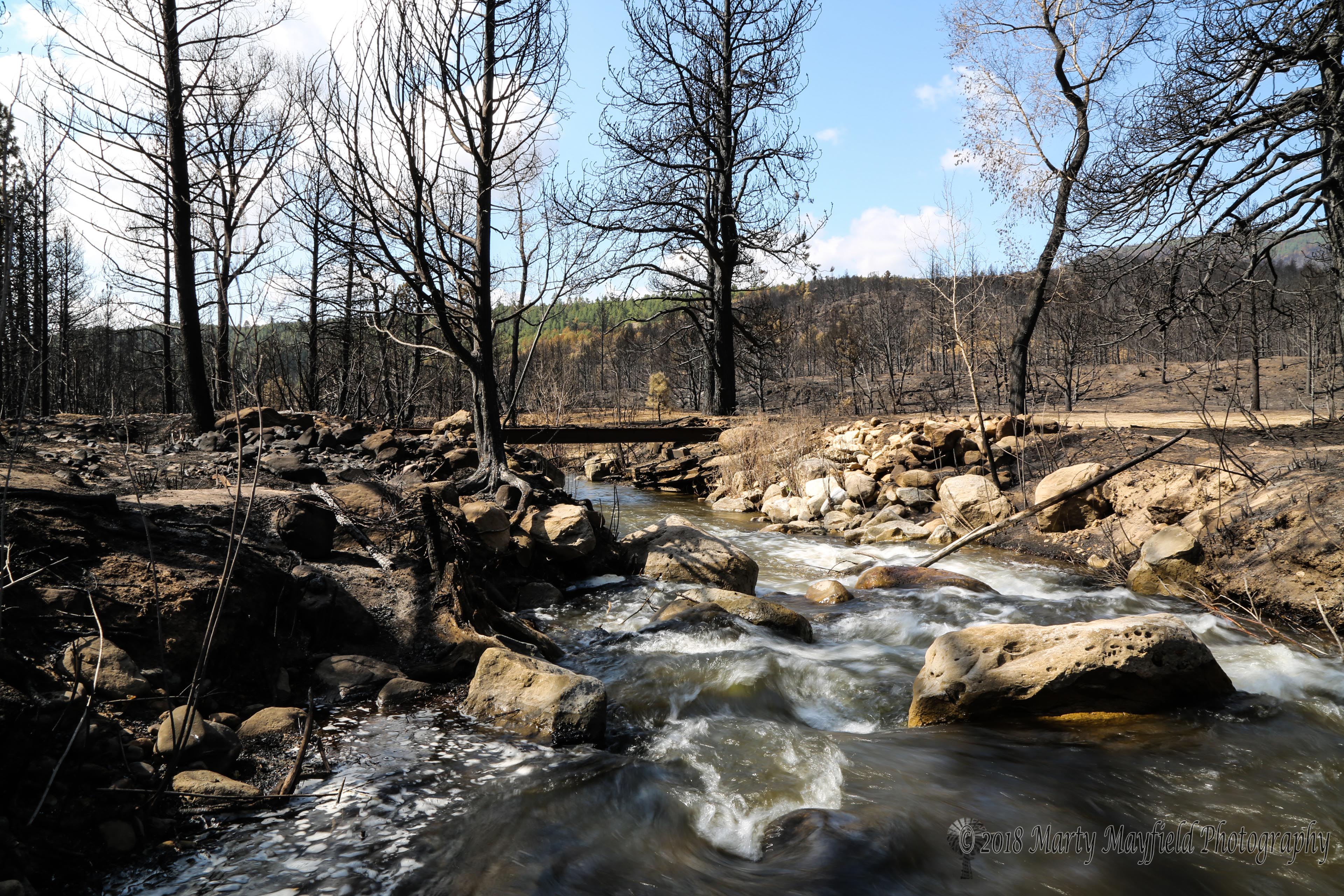
Highway 64 finally reopened to traffic on Monday June 11 giving travelers a first hand look at the fury of the fire. On Wednesday Marty Mayfield had a chance to travel the lower canyon and brought back these photos and video of the fire’s handy work.
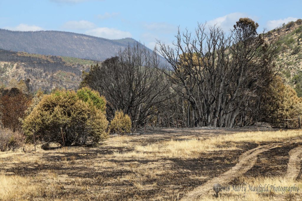
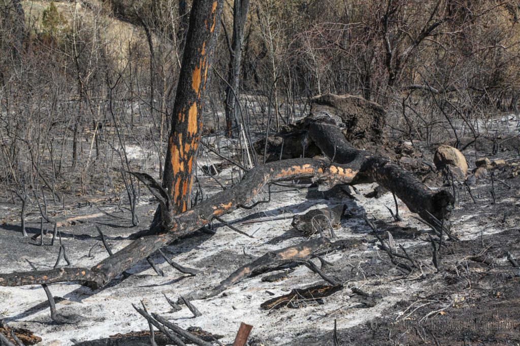
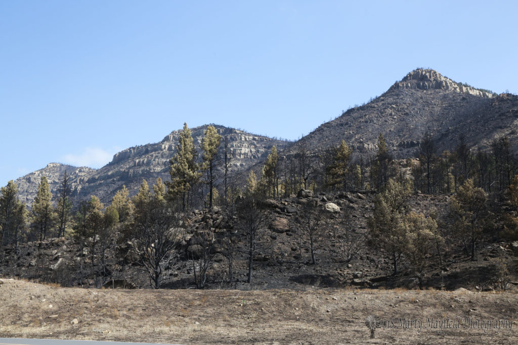
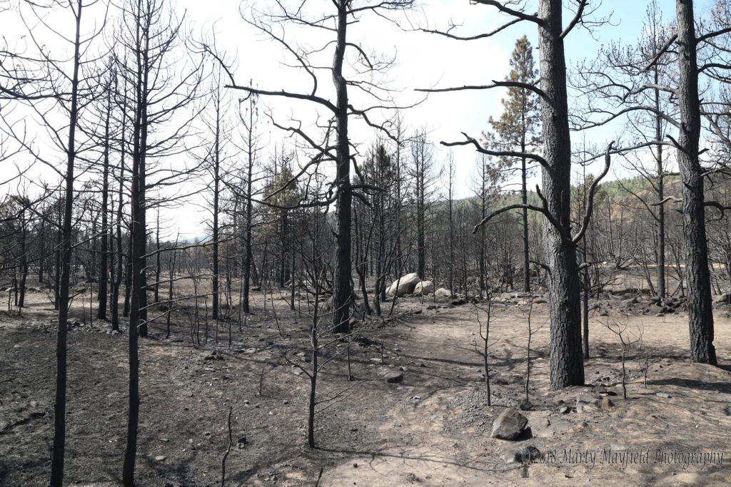
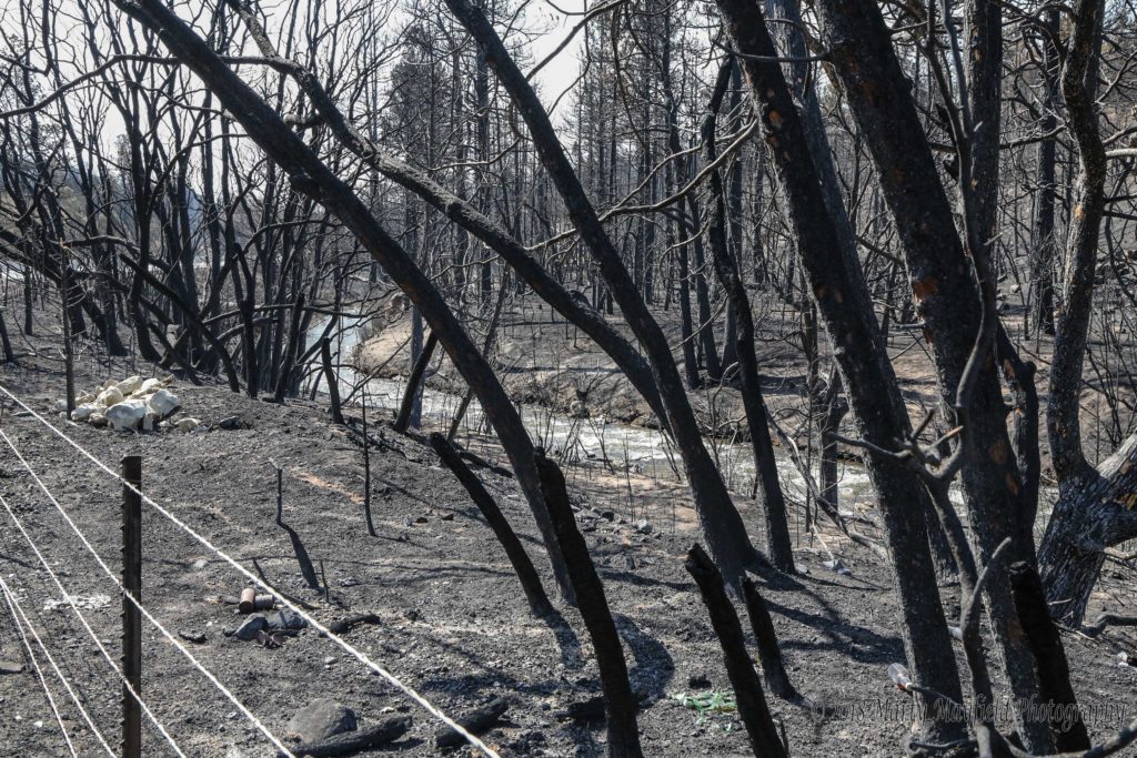
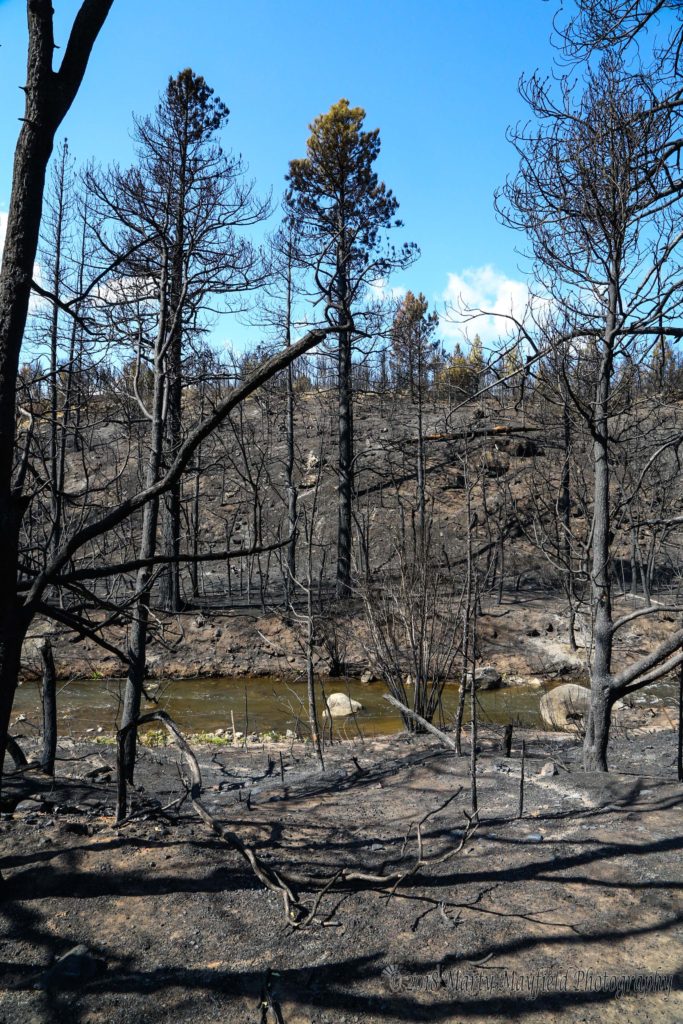
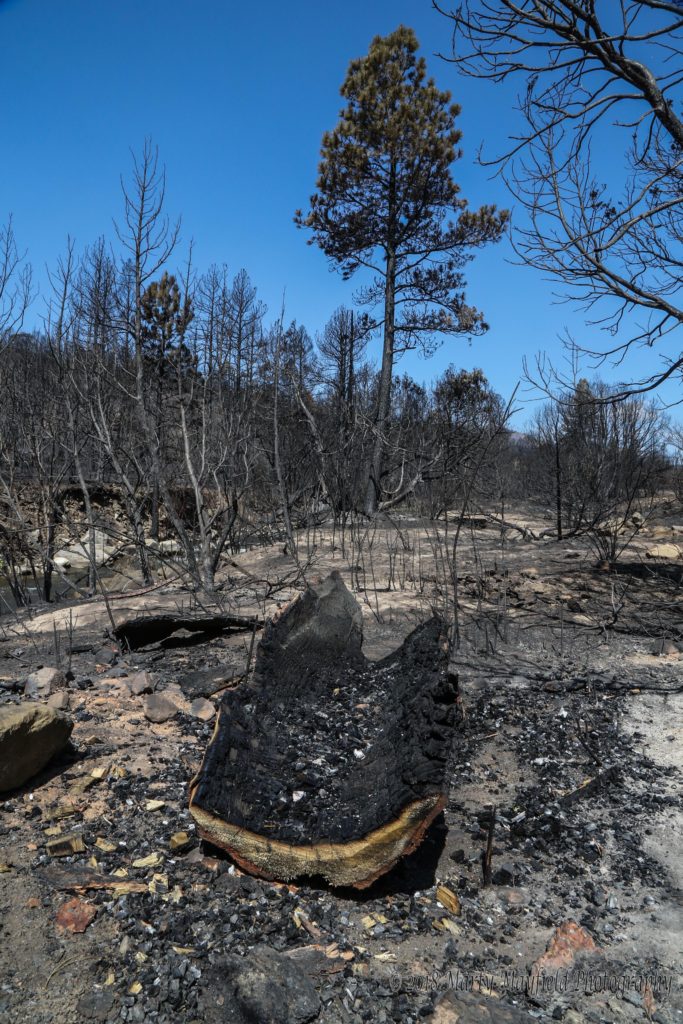
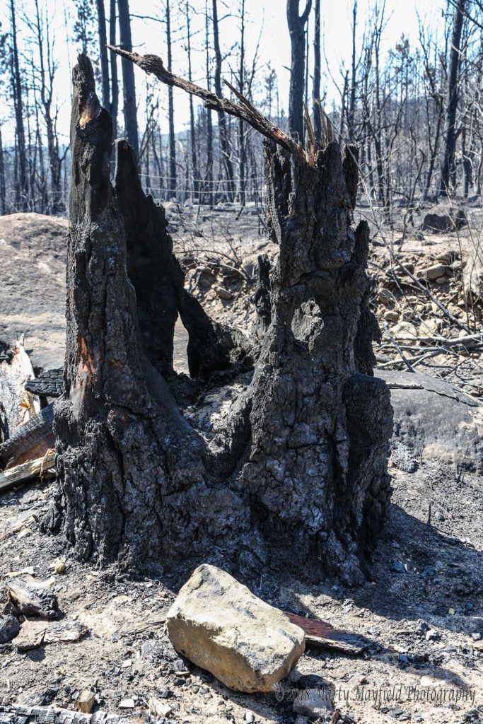
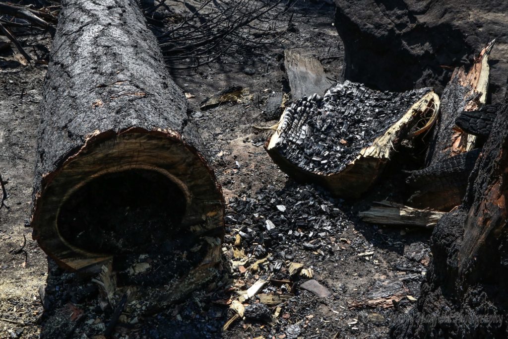
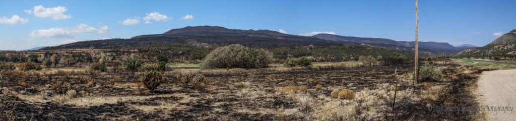
While some areas suffered extreme damage where the fire burned very hot, others saw only scorching and still other areas were left completely untouched. The view in the Canyon goes from a stark burnt scene to one of lush green and then back to burn scar.
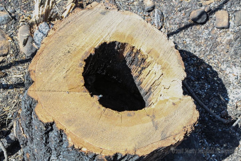
Only time will tell how the view will change as its affected by the weather’s wind and rain and the coming seasons. One also has to wonder how the vegetation will regrow. Will the shrubs and trees that were only scorched find their way back in the coming summer months? Will the grass regrow in the heavily burned top soil?
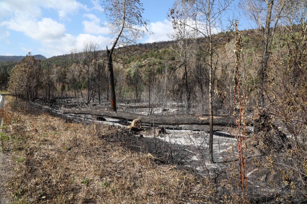
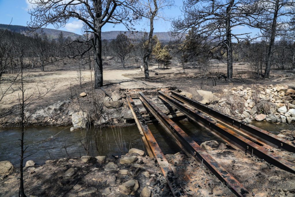
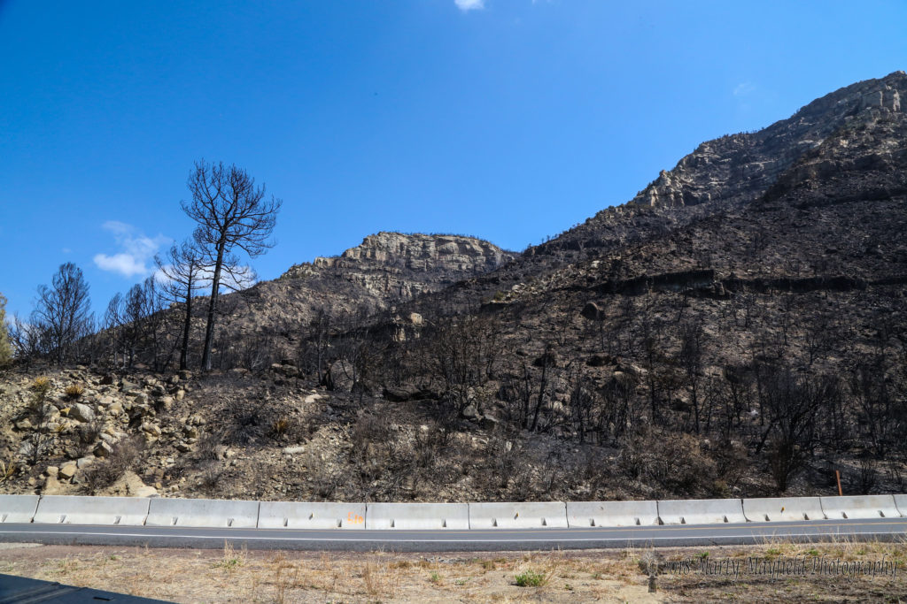
NMDOT placed several thousand feet of Jersey Barrier along Hwy 64 to help control erosion and debris that will eventually come down the unstable hillsides. Many of the steeper hillsides are now completely bare of vegetation revealing sites that once were hidden behind a mask of foliage.
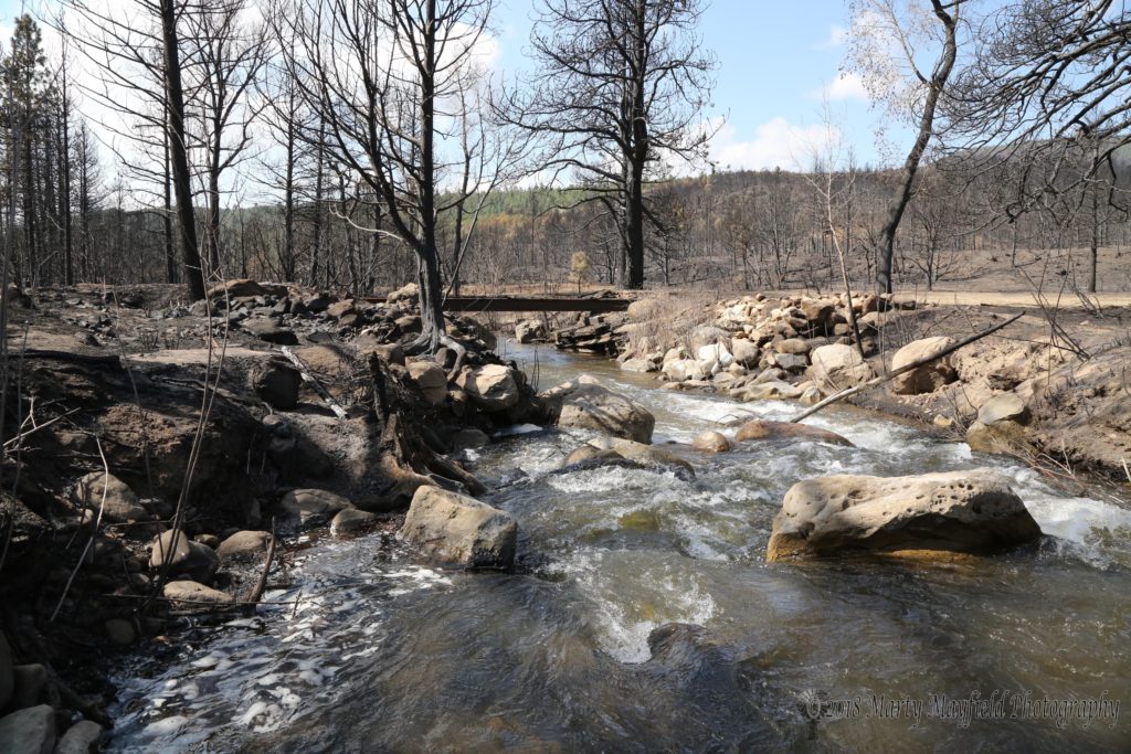
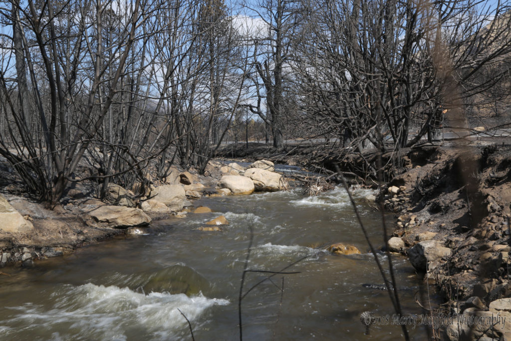
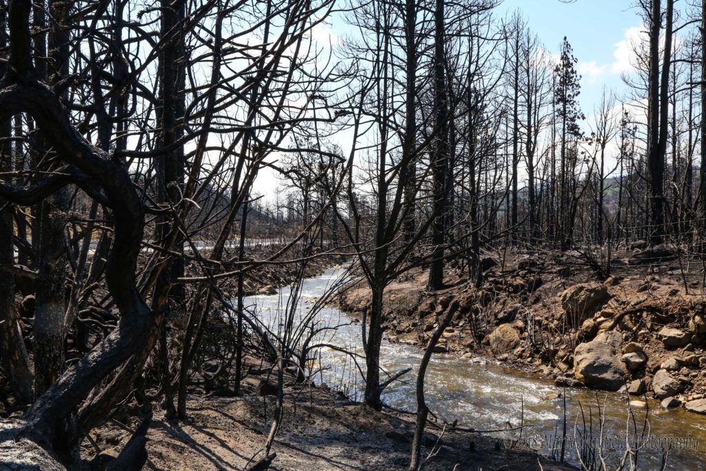
At this time the Cimarron River is running fairly clear with the hope that the rains will be gentle and bring Oak Brush growth much like it did after the Track Fire. Song birds could also be heard even in some of the most barren areas of the burn scar.
Rehabilitation efforts will begin soon as Raton City Manager Scott Berry eluded too at Tuesday evening’s city commission meeting. At stake is the water shed into the lakes that are home to Cimarron’s water supply as well as the Cimarron River where Raton and Cimarron get some of their water.
Other questions that only time can answer is how the lower Canyon will handle the first few rains? Will we see the major flooding that has been seen in other burn scars in the state? Will vegetation regrow quickly to help stem the erosion?