First timer? In this (hopefully) once-a-day blog, I have my computer select a random latitude and longitude that puts me somewhere in the continental United States (the lower 48). I call this “landing.” I keep track of the watersheds I land in, as well as the town I land near. I do some internet research to hopefully find something of interest about my landing location. To find out more about A Landing A Day (like who “Dan” is and what the various numbers and abbreviations mean), please see “About Landing,” (and “Abbreviations” and “Cryptic Numbers”) above.
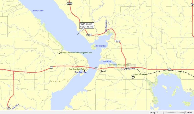
Dan – Doh! No offense meant to today’s landing state, but to me, it’s just another WB OSer . . . ND; 52/43; 5/10; 2; 152.1. This landing has some special interest, given that I actually landed in the Missouri R:
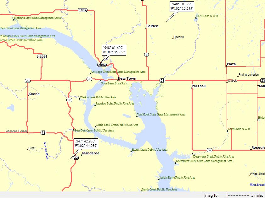
Here’s a somewhat expanded view, showing my proximity to New Town as well as my proximity to two previous (and quite recent) landings:
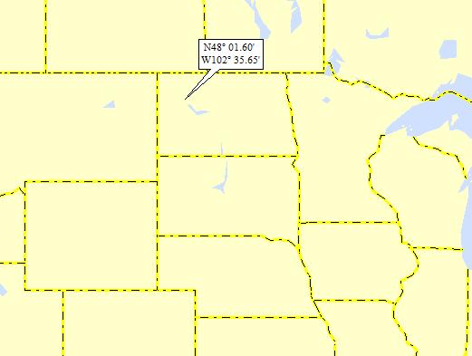
Here’s the broadest view:
It turns out that the more northeasterly landing that you can see above is an ALAD landing (my Stanley ND post). And, son of a gun if I didn’t feature New Town as well as Lake Sakakawea, which is the Missouri River Lake where I landed today! So, even though I landed in the Lake and landed closer to New Town than before, both are out of the running for me to feature in this post.
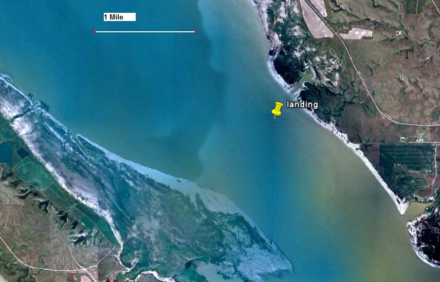
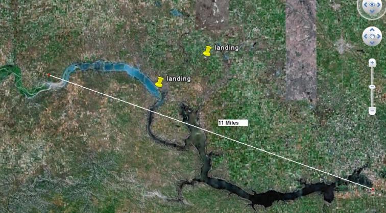
Before worrying about what to post, I’ll finish up some usual business, like my GE shot:
Here’s an expanded GE shot that shows the entire length of Lake Sakakawea:
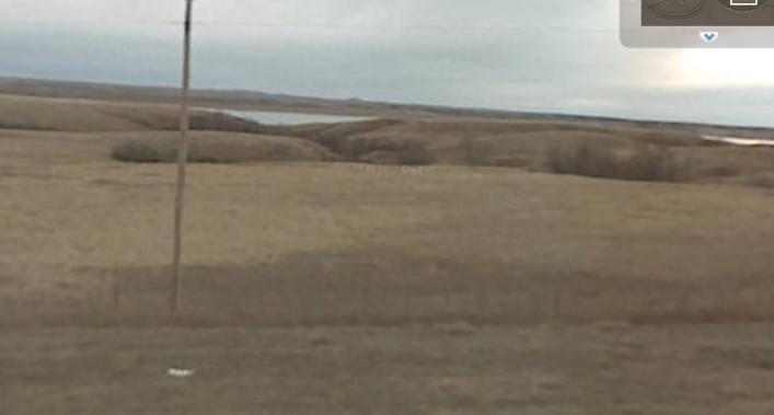
Here’s a GE Street View shot looking west toward my landing from the road (Rt 1804, see my landing map) that runs along the river:
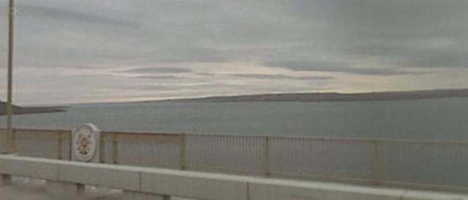
Here’s another GE Street View shot from the bridge over the Missouri (Rt 23; see my landing map). We’re looking north; my landing is in the distance, near the eastern shore.
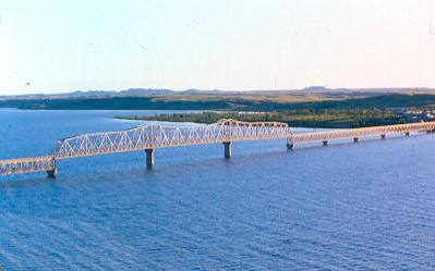
Speaking of the bridge, it’s called the Four Bears Bridge. From Wiki:
Four Bears Bridge opened in 2005 and is the second largest bridge in North Dakota. It replaces an earlier bridge built in 1955. The 1955 bridge replaces an even earlier bridge known as the Verendrye Bridge after the first European explorer to visit present day North Dakota.
The bridge is decorated with medallions reflecting the heritage of the Three Affiliated Tribes, the Mandan, Arikara and Hidatsa who inhabit the area. The bridge is named for two chiefs (one Mandan and one Hidatsa) who were both named Four Bears.
I have a few nice pictures of the bridge. Here’s a daytime shot:
And, of course, a nighttime shot:
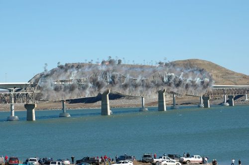
Here’s a shot of the old bridge being blown to bits:
So, anyway, you’ll note on my expanded landing map that I previously landed near Mandaree (it was back on 9/30/08). By this time, I was sending you quite robust emails on my landings (this was only a couple of months before ALAD started). The rest of this post is pretty much lifted from that email:
So, I landed near Mandaree. From Wiki:
Mandaree ND, with a population of 558 in the 2000 census, is located on the Fort Berthold Indian Reservation in the Mandan, Hidatsa and Arikara Nation. It is the home to current tribal chairman Tex Hall as well as being the primary physical center of the Mandan-Hidatsa community. It is noted nationally for its annual Pow-Wow as well as being the home of the Mandaree Singers, a world renowned tribal musical group.
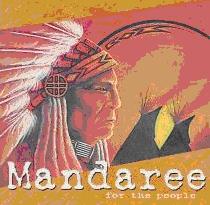
Here’s what I think is the most recent album cover from the Mandaree Singers:
And a blurb from Answers.com:
The Mandaree Singers have been instrumental in preserving Native American musical traditions. With their call and response vocals set to the rhythmic pulse of drums and rattles, the group has been thrilling audiences at powwows and concerts for nearly four decades. Comprised of members of the Manna, Hidatsa, and Airbrake, the Mandaree Singers are based on the Fort Berthed Reservation in North Dakota. The group came together in the 1950s as the Black Lodge Singers.
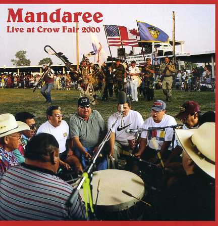
Here’s another album cover:
Wow – this is genuine Indian music (i.e., these guys make no attempt to appeal to mainstream American musical tastes). Click here for a performance on YouTube.
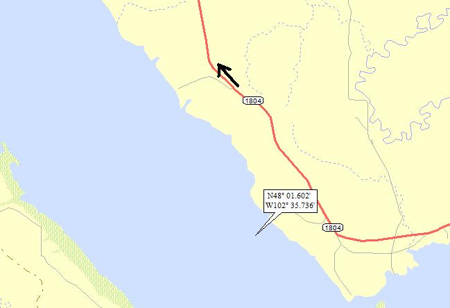
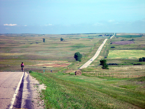
I’ll close with a landscape shot from just northeast of my landing (along the afore-mentioned Rt 1804). Here’s a map showing the location and orientation of the photographer:
And here’s the photo:
That’ll do it. . .
KS
Greg
© 2009 A Landing A Day
