Glindbusch
Glindbusch is a forest in Lower Saxony, Germany. Glindbusch is situated nearby to the villages Mulmshorn and Bockel.Localities in the Area
Abbendorf
Village

Photo: Oxfordian Kissuth, CC BY-SA 3.0.
Abbendorf is a village situated 5 km east of Glindbusch.
Taaken
Village

Photo: WolfHermHaa, CC BY-SA 4.0.
Taaken is a village situated 8 km southwest of Glindbusch.
Brüttendorf
Village
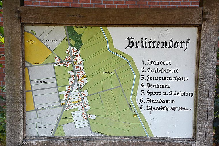
Photo: Stadt Zeven, CC BY-SA 3.0 de.
Brüttendorf is a village situated 8 km north of Glindbusch.
Glindbusch
- Type: Forest
- Location: Lower Saxony, Germany, Central Europe, Europe
- View on OpenStreetMap
Latitude
53.19018° or 53° 11' 25" northLongitude
9.307° or 9° 18' 25" eastElevation
35 metres (115 feet)Open Location Code
9F5F58R4+3QGeoNames ID
2919886Glindbusch Satellite Map
© OpenStreetMap, Mapbox and Maxar
Other Places Named Glindbusch
Localities in the Area
- MulmshornVillage
- BockelVillage
- HesedorfVillage, 3 km northeast
- GyhumVillage, 3 km north
- BurgelsdorfHamlet, 4½ km north
Landmarks in the Area
- RöhrbergHill, 5 km northwest
- Forst RotenburgForest, 5 km southeast
- Stellingsmoor6 km northwest
- Luhner HolzForest, 6 km southeast
- Rotenburg/WümmeAirfield, 7 km southeast
Escape to a Random Place
Discover other forests in the world.
About Mapcarta. Thanks to Mapbox for providing amazing maps. Text is available under the CC BY-SA 4.0 license, excluding photos, directions and the map. Photo: Danapit, CC BY-SA 3.0.