Wardenburg
Wardenburg is a locality in Oldenburg, Lower Saxony. Wardenburg is situated nearby to the localities Neuengland and Südheide.Notable Places in the Area
Sandkrug station
Railway station
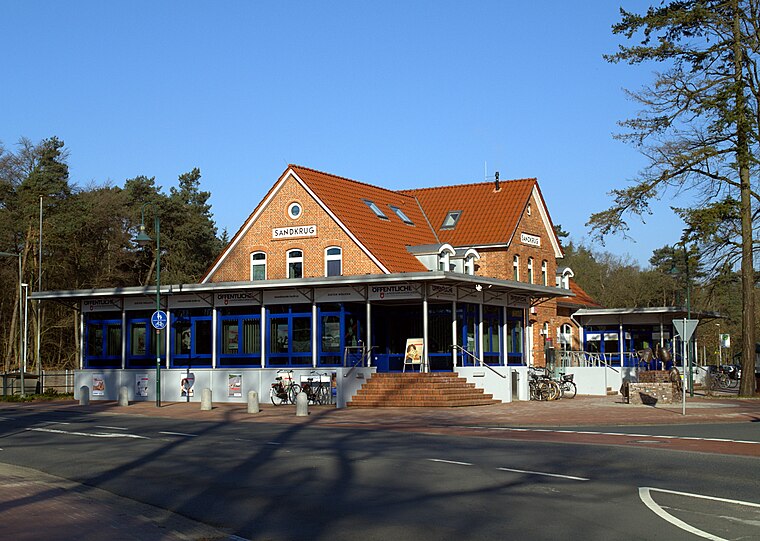
Photo: Jacek79, CC BY-SA 4.0.
Sandkrug station is a railway station in the municipality of Sandkrug, located in the Oldenburg district in Lower Saxony, Germany. Sandkrug station is situated 4 km east of Wardenburg.
Localities in the Area
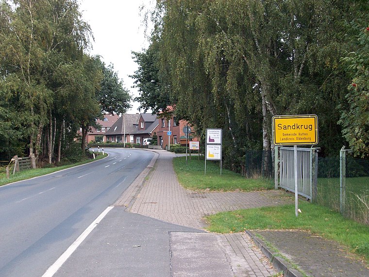
Wardenburg
Town

Photo: Wikimedia, CC BY-SA 2.5.
Wardenburg is a municipality in the district of Oldenburg, in Lower Saxony, Germany.

Wardenburg
- Type: Locality with 16,200 residents
- Location: Oldenburg, Lower Saxony, Germany, Central Europe, Europe
- View on OpenStreetMap
Latitude
53.0622° or 53° 3' 44" northLongitude
8.1979° or 8° 11' 52" eastPopulation
16,200Elevation
8 metres (26 feet)Open Location Code
9F5C356X+V4GeoNames ID
6547426Wardenburg Satellite Map
© OpenStreetMap, Mapbox and Maxar
Also Known As
- 03458013
Other Places Named Wardenburg
Localities in the Area
- NeuenglandLocality
- SüdheideLocality
- FünfhausenHamlet
- WiemerslandeHamlet
Landmarks in the Area
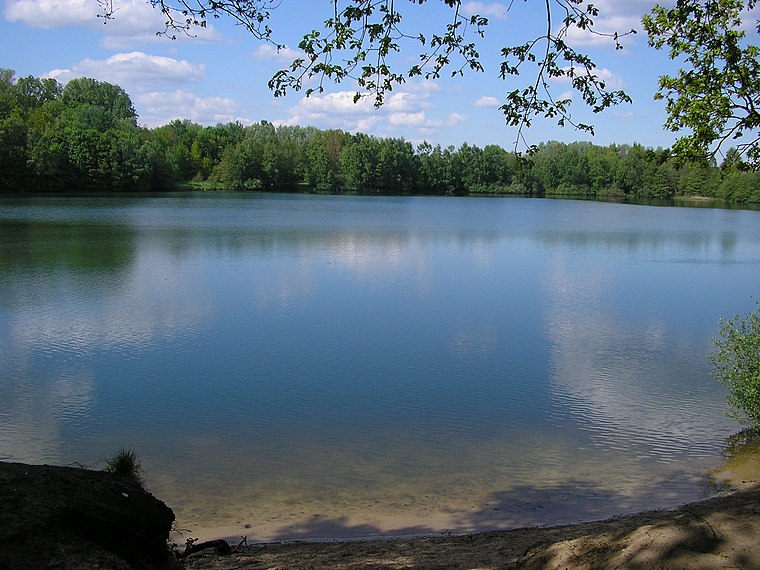
- LetheOxbow lake
- NeuosenbergeHill
- Staatsforst OldenburgForest
- Bahnhof SandkrugRailway station, 4 km east
- AltosenbergeHill, 6 km southeast
Escape to a Random Place
Discover other destinations in the world.
About Mapcarta. Thanks to Mapbox for providing amazing maps. Text is available under the CC BY-SA 4.0 license, excluding photos, directions and the map. Photo: Danapit, CC BY-SA 3.0.