Glindbusch
Glindbusch is a rest area in Gyhum, Rotenburg, Lower Saxony. Glindbusch is situated nearby to the villages Abbendorf and Brüttendorf.Notable Places in the Area
Großsteingrab Nartum
Archaeological site
Photo: Wikimedia, Public domain.
Großsteingrab Nartum is an archaeological site situated 4 km west of Glindbusch.
Localities in the Area
Abbendorf
Village

Photo: Oxfordian Kissuth, CC BY-SA 3.0.
Abbendorf is a village situated 6 km east of Glindbusch.
Brüttendorf
Village
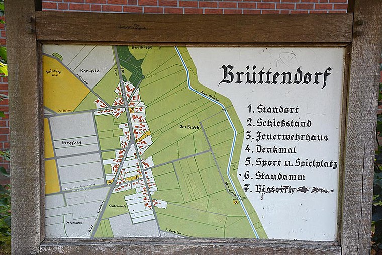
Photo: Stadt Zeven, CC BY-SA 3.0 de.
Brüttendorf is a village situated 7 km north of Glindbusch.
Taaken
Village

Photo: WolfHermHaa, CC BY-SA 4.0.
Taaken is a village situated 8 km southwest of Glindbusch.
Glindbusch
- Type: Rest area
- Wheelchair access: yes
- Category: transportation
- Location: Gyhum, Rotenburg, Lower Saxony, Germany, Central Europe, Europe
- View on OpenStreetMap
Latitude
53.20196° or 53° 12' 7" northLongitude
9.29709° or 9° 17' 50" eastOpen Location Code
9F5F672W+QROpenStreetMap ID
way 190348394OpenStreetMap Feature
highway=rest_areaOpenStreetMap Attribute
wheelchair=yesGlindbusch Satellite Map
© OpenStreetMap, Mapbox and Maxar
Other Places Named Glindbusch
Landmarks in the Area
- GlindbuschRest area
- Löwen PlayCasino, 1¼ km southwest
- Feuerwehr GyhumFire station, 2 km north
- Sportplatz und -halle Mulmshorn2½ km south
- Haus der ZukunftPublic building, 2½ km south
Places in the Area
- Bockel, DenkmalBus stop, 540 metres west
- Dat Autohus A1Building, 730 metres southwest
Escape to a Random Place
Discover other rest areas in the world.
About Mapcarta. Thanks to Mapbox for providing amazing maps. Data © OpenStreetMap contributors and available under the Open Database License. Text is available under the CC BY-SA 4.0 license, excluding photos, directions and the map. Photo: Danapit, CC BY-SA 3.0.