Castlewich Henge
Castlewich Henge is an archaeological site in Callington, Cornwall, England. Castlewich Henge is situated nearby to the historic building Dupath Well and the hamlet Frogwell.Notable Places in the Area
Callington Community College
College
Callington Community College is a coeducational secondary school and sixth form with academy… Callington Community College is situated 1 mile northwest of Castlewich Henge.
St Mary's Church, Callington
Church

Photo: Lobsterthermidor, CC0.
St Mary's Church, Callington is situated 1 mile northwest of Castlewich Henge.
Kit Hill
Peak

Photo: Stephen Dawson, CC BY-SA 2.0.
Kit Hill, at 334 metres high, dominates the area between Callington and the River Tamar in southeast Cornwall, England, UK. Kit Hill is situated 2 miles north of Castlewich Henge.
Localities in the Area
Frogwell
Hamlet

Photo: Tony Atkin, CC BY-SA 2.0.
Frogwell is a hamlet in the parish of Callington, Cornwall, England.
St Dominic
Village
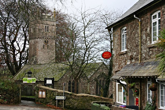
Photo: Tony Atkin, CC BY-SA 2.0.
St Dominic is a civil parish and village in Cornwall, England, United Kingdom. St Dominic is situated 2 miles east of Castlewich Henge.
Kelly Bray
Village

Photo: Tony Atkin, CC BY-SA 2.0.
Kelly Bray is a village in east Cornwall, England, United Kingdom. Kelly Bray is situated 2 miles northwest of Castlewich Henge.
Castlewich Henge
- Type: Archaeological site
- Categories: historic site, tourist attraction and tourism
- Location: Callington, Cornwall, West Country, England, United Kingdom, Britain and Ireland, Europe
- View on OpenStreetMap
Latitude
50.49388° or 50° 29' 38" northLongitude
-4.29834° or 4° 17' 54" westOpen Location Code
9C2QFPV2+HMOpenStreetMap ID
way 936806446OpenStreetMap Feature
historic=archaeological_siteCastlewich Henge Satellite Map
© OpenStreetMap, Mapbox and Maxar
Landmarks in the Area
- Dupath WellHistoric building, 2,600 feet northeast
- Inney Close ParkPark, 3,600 feet northwest
- Aysshton GardensPark, 3,800 feet northwest
- Callington Primary SchoolSchool, 1 mile northwest
Places in the Area
- Southern RoadBus stop, 3,600 feet northwest
- St Therese CloseBus stop, 3,700 feet northwest
- Saltash Road CarparkParking lot, 3,700 feet northwest
- Callington by PassBus stop, 3,800 feet northwest
- Coombe RoadBus stop, 3,800 feet northwest
Popular Destinations in Cornwall
Discover Truro, Penzance, Land's End and Falmouth.
Escape to a Random Place
Discover other archaeological sites in the world.
About Mapcarta. Thanks to Mapbox for providing amazing maps. Data © OpenStreetMap contributors and available under the Open Database License. Text is available under the CC BY-SA 4.0 license, excluding photos, directions and the map. Photo: ramsd, CC BY 2.0.