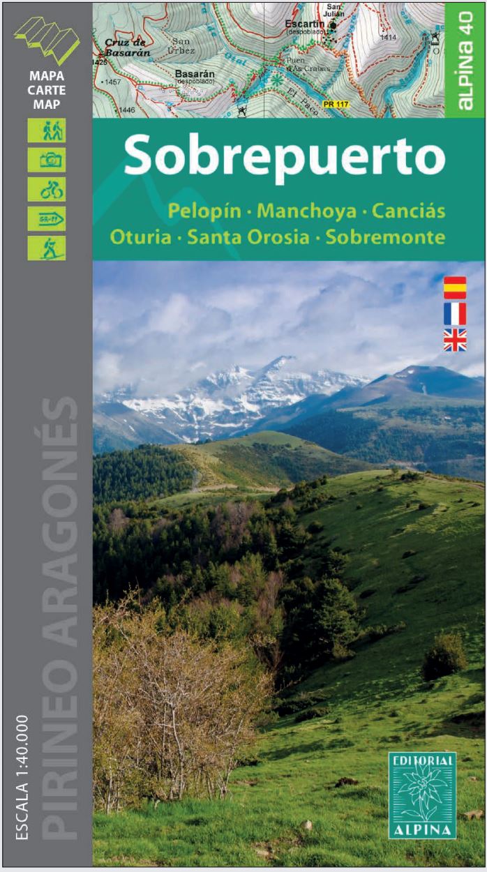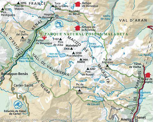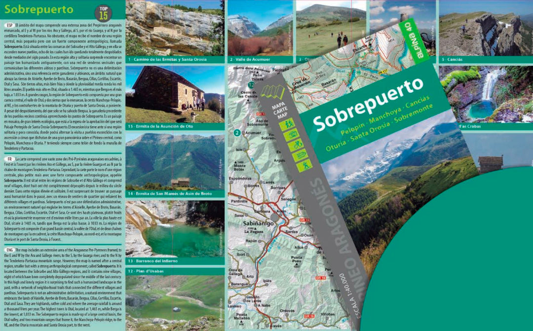
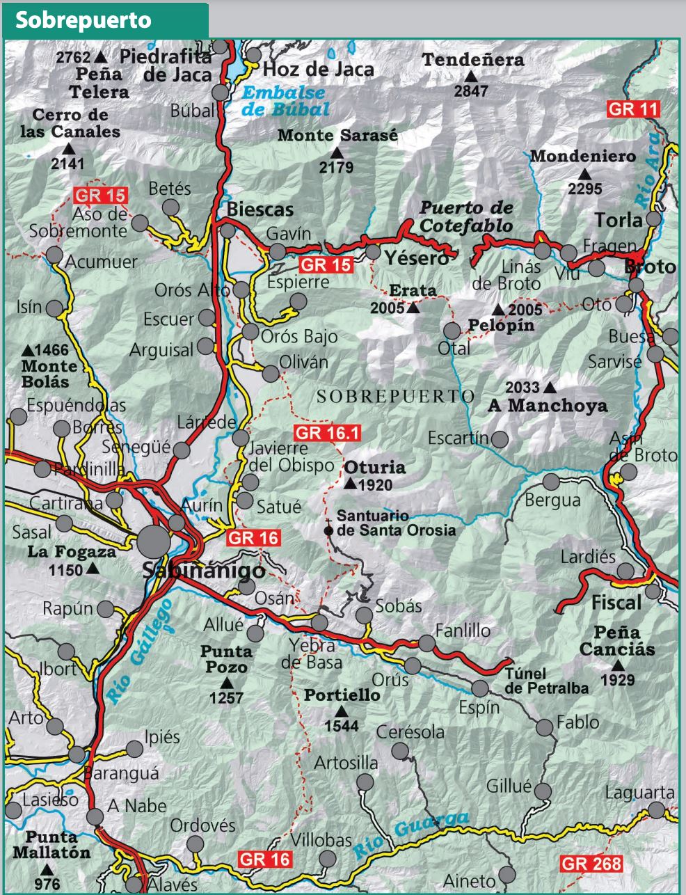

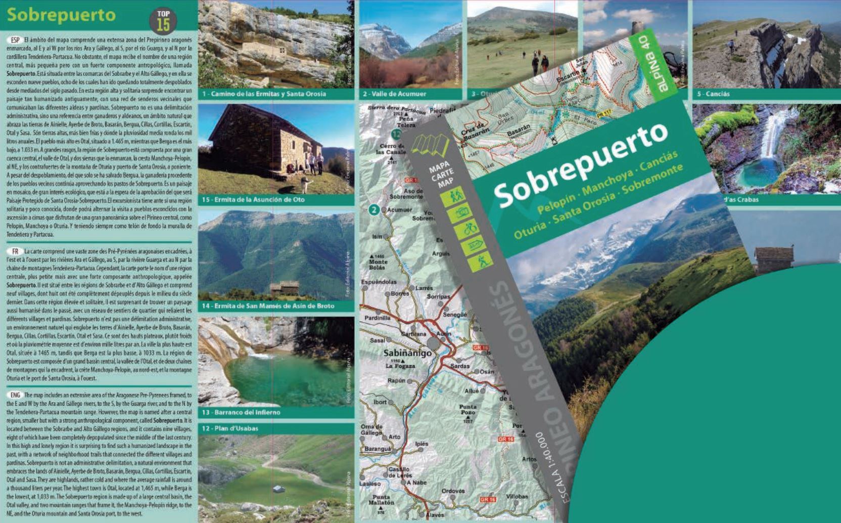

Hiking Map - Sobrepuerto (Aragonese Pyrenees) | Alpina
Hiking Map - Sobrepuerto (Aragonese Pyrenees) | Alpina
Regular price
$17.00
- Shipping within 24 working hours from our warehouse in France
- Delivery costs calculated instantly in the basket
- Free returns (*)
- Real-time inventory
- Low stock - 1 item left
Related geographic locations and collections: Aragonese Pyrenees, Central Pyrenees, Editorial Alpina, Pyrenees, Spanish Pyrenees, Spanish Pyrenees - Alpina