MyTopo
Bokhoma Oklahoma US Topo Map
Couldn't load pickup availability
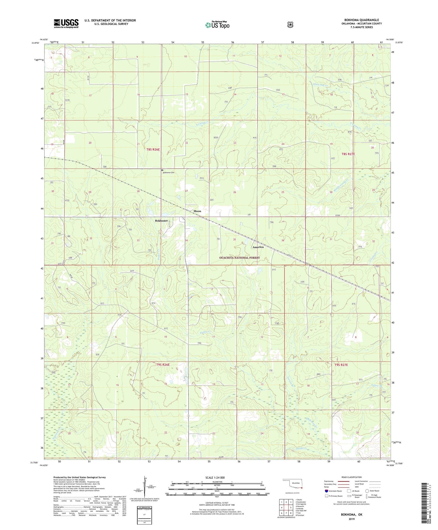
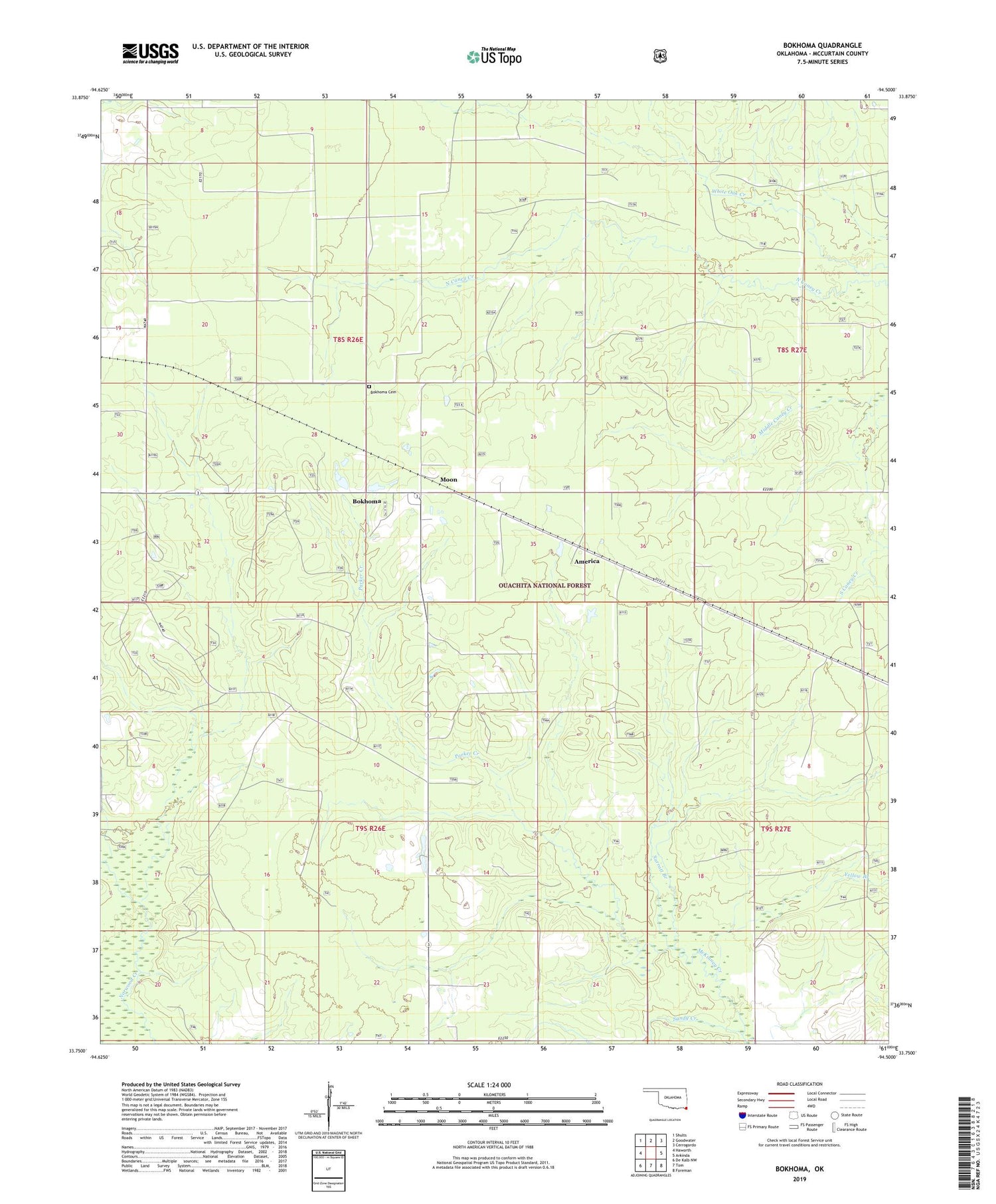
2019 topographic map quadrangle Bokhoma in the state of Oklahoma. Scale: 1:24000. Based on the newly updated USGS 7.5' US Topo map series, this map is in the following counties: McCurtain. The map contains contour data, water features, and other items you are used to seeing on USGS maps, but also has updated roads and other features. This is the next generation of topographic maps. Printed on high-quality waterproof paper with UV fade-resistant inks.
Quads adjacent to this one:
West: Haworth
Northwest: Shults
North: Goodwater
Northeast: Cerrogordo
East: Arkinda
Southeast: Foreman
South: Tom
Southwest: De Kalb NW
Contains the following named places: America, Bakhoma Recreation Area, Bokhoma, Bokhoma Cemetery, Choctaw Church, Moon, Oak Ridge School, Parker Creek, Sandy Creek, Southeast McCurtain Division, Township of Frisco, ZIP Code: 74740