If you like to bring a guide book while walking, this one is very useful.
Relevant maps can be found online here.
Approximate distances:
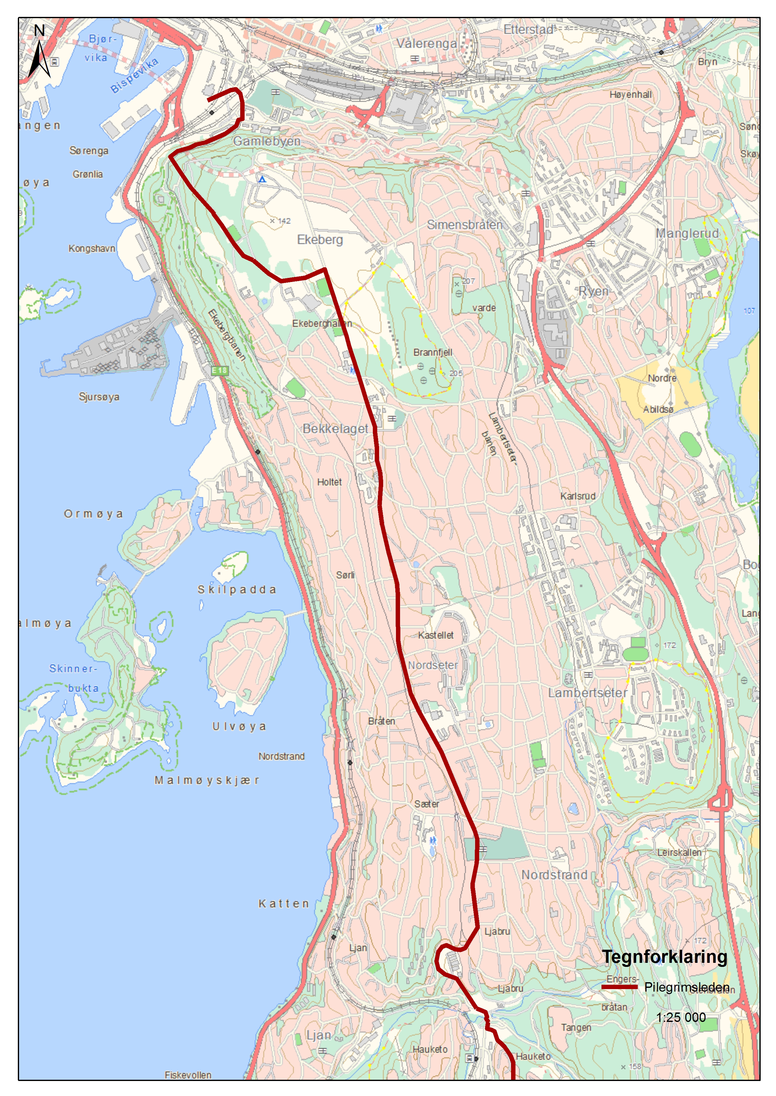
Oppegård-Oslo 17 km
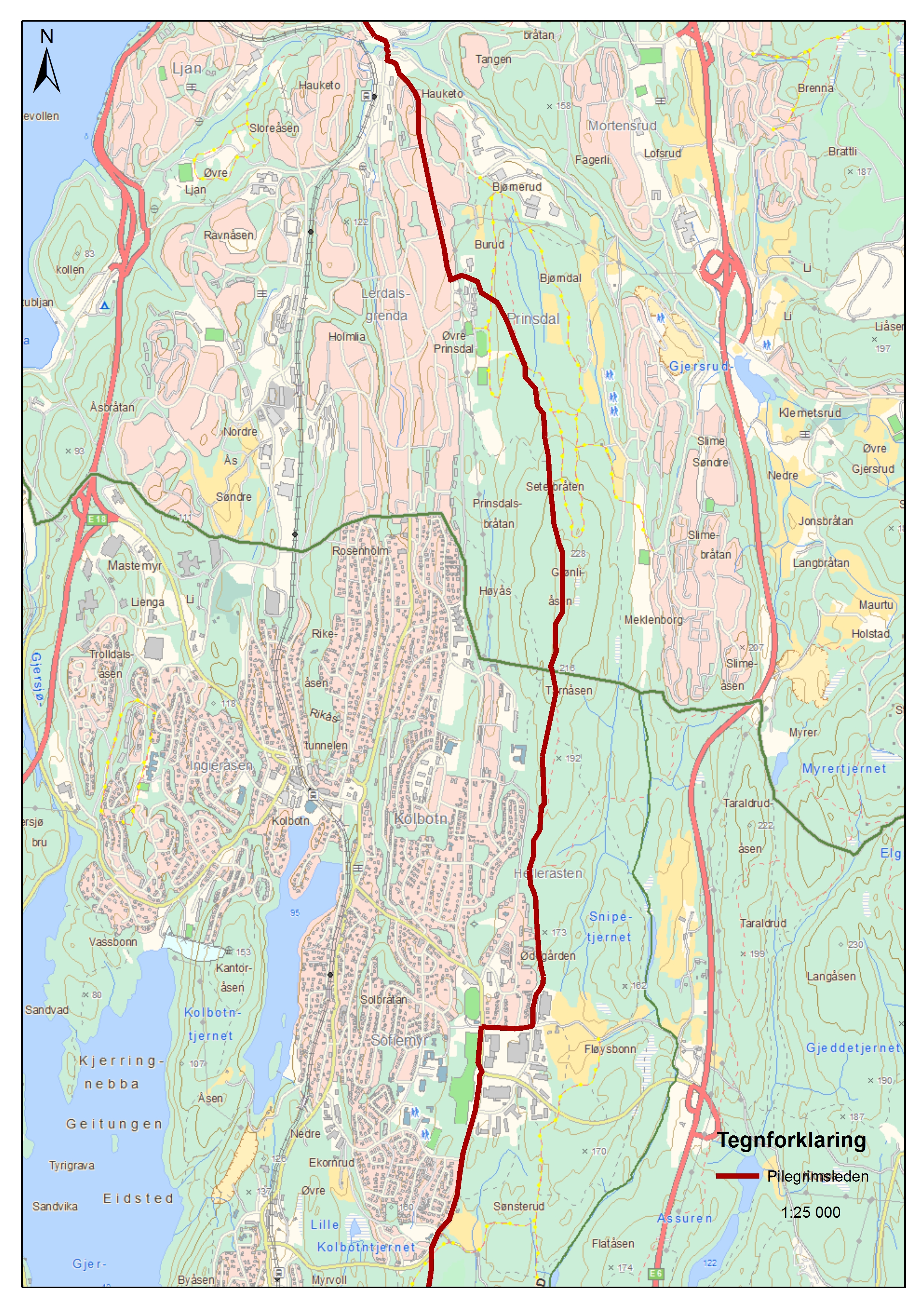
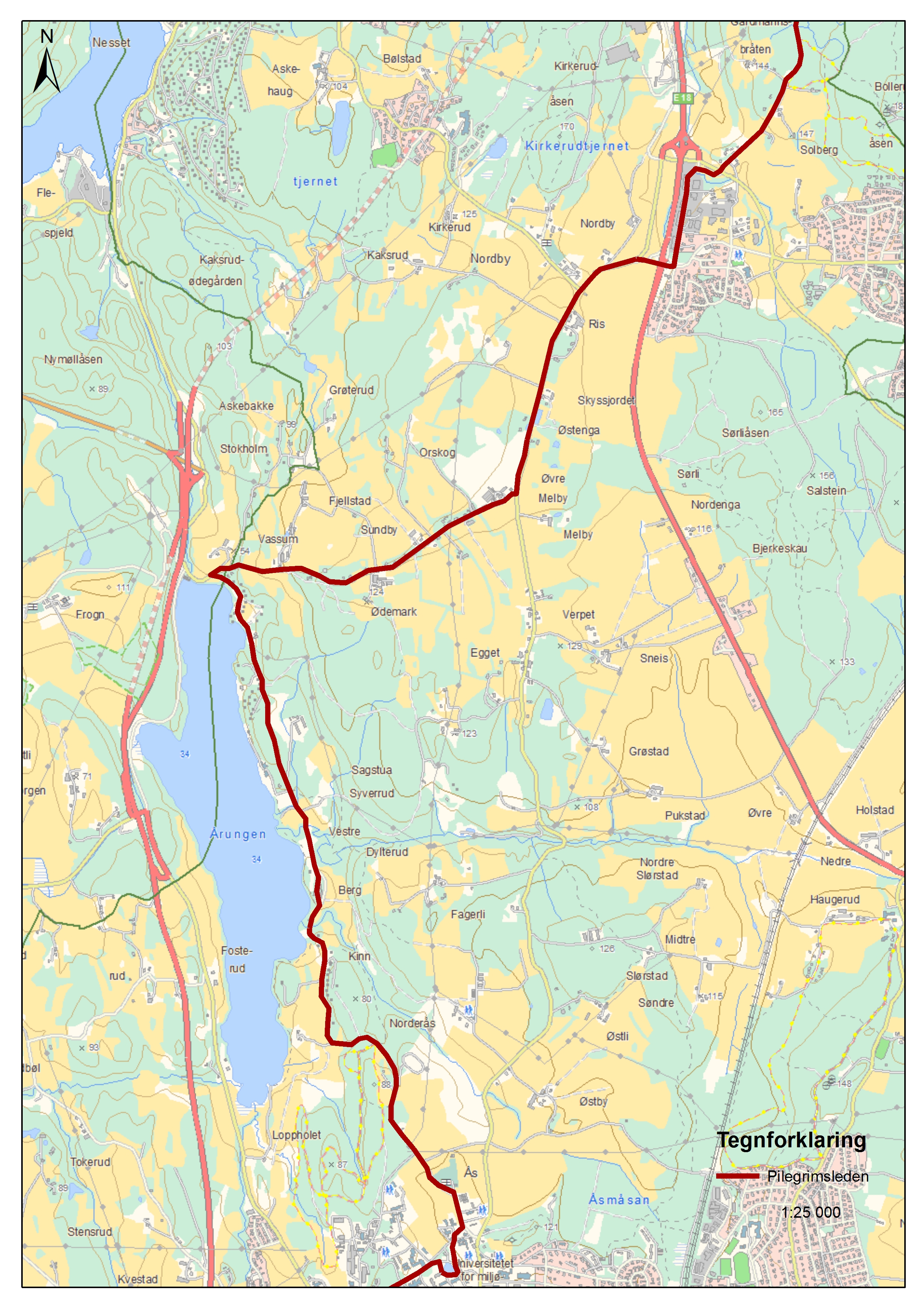
Ås-Oppegård 13 (17) km
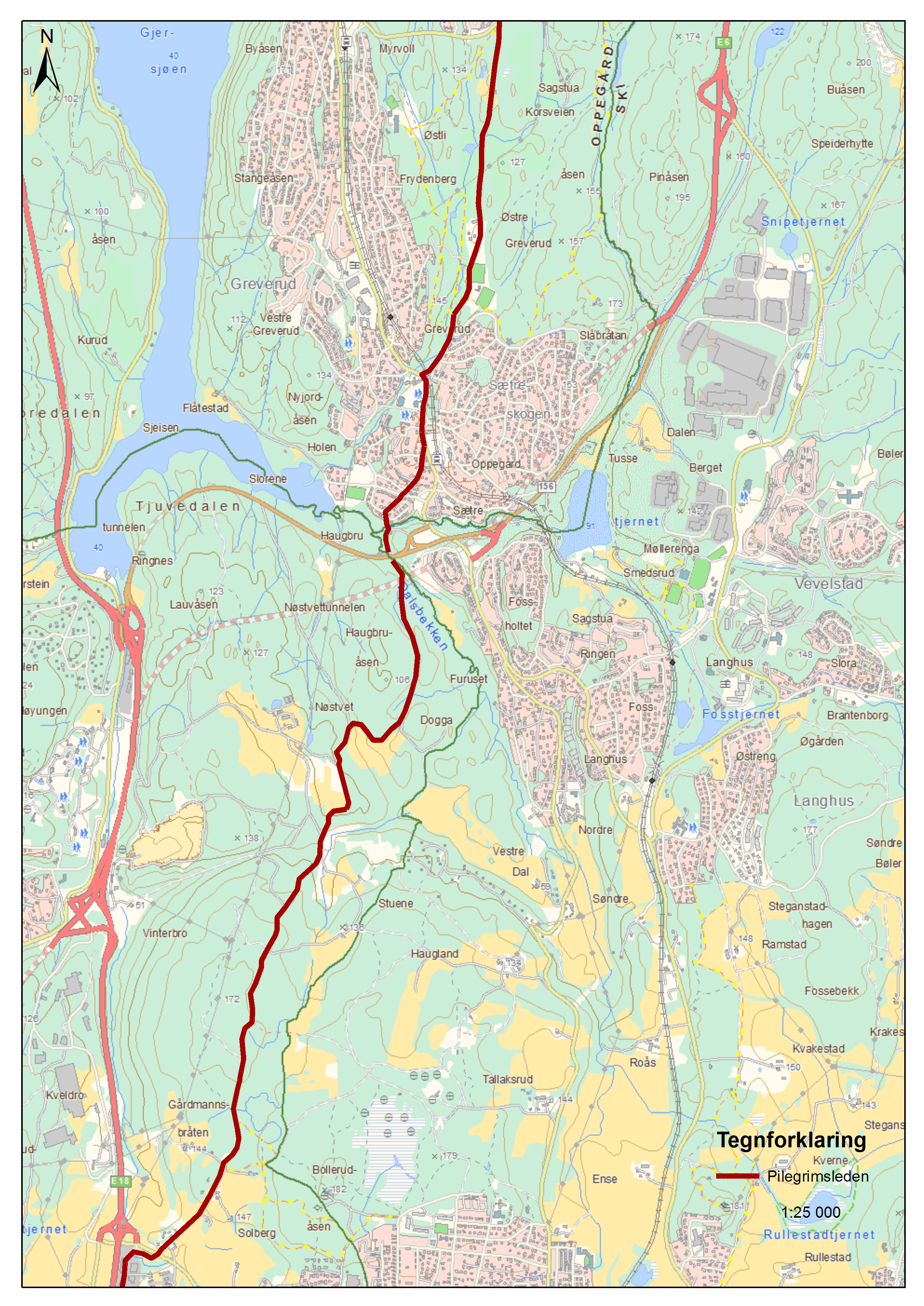
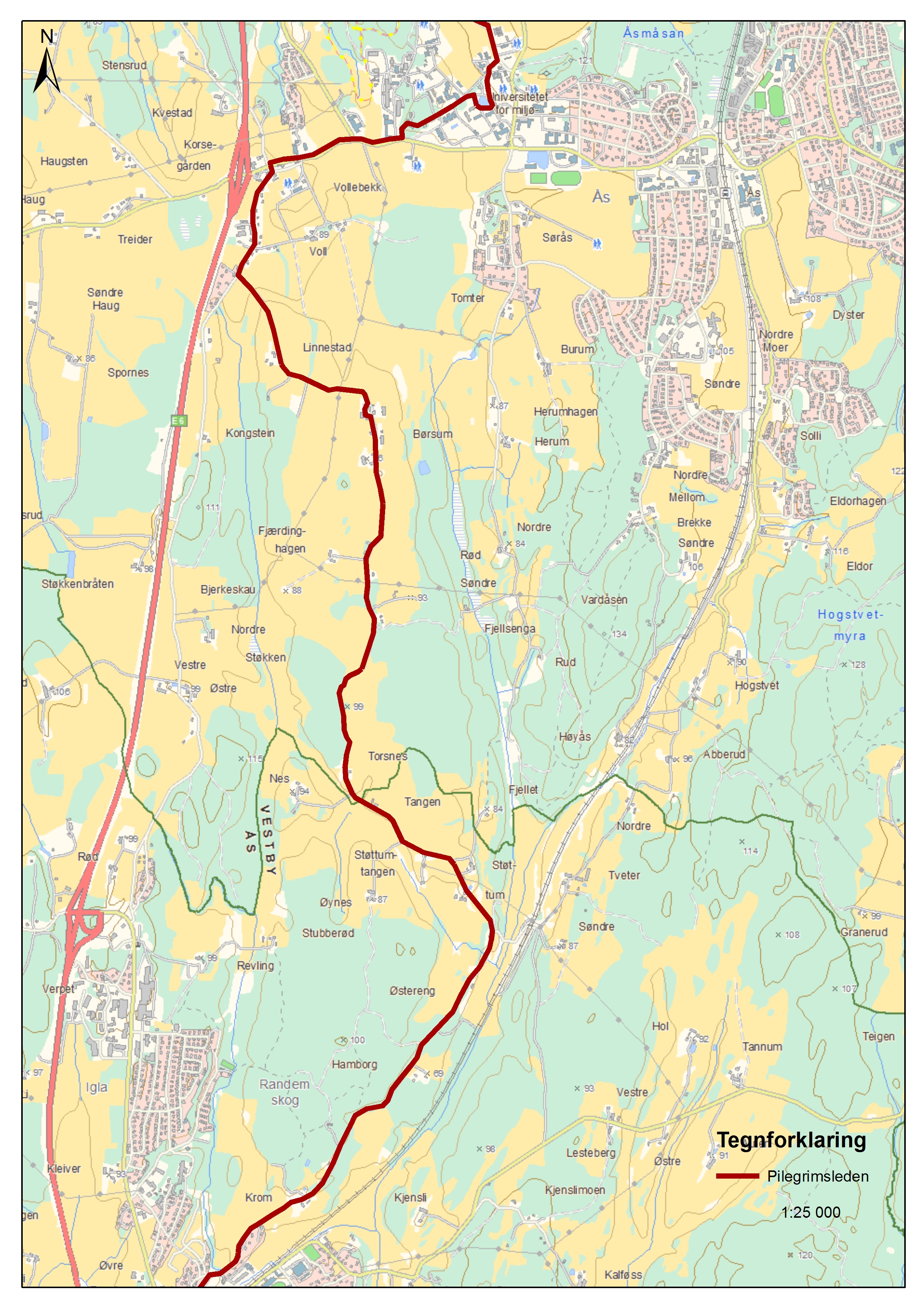
Vestby-Ås 10 km
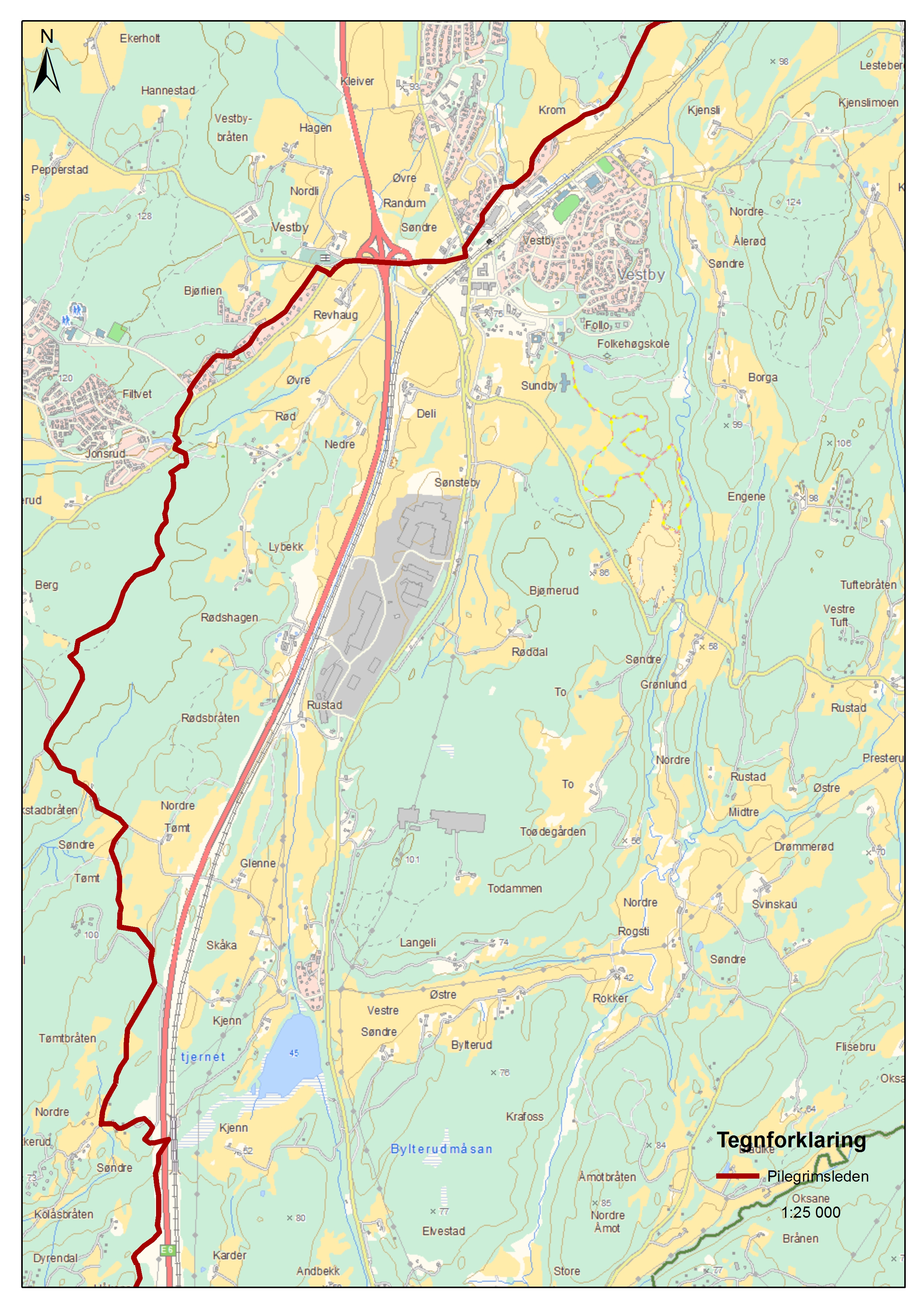
Moss-Vestby 25 km
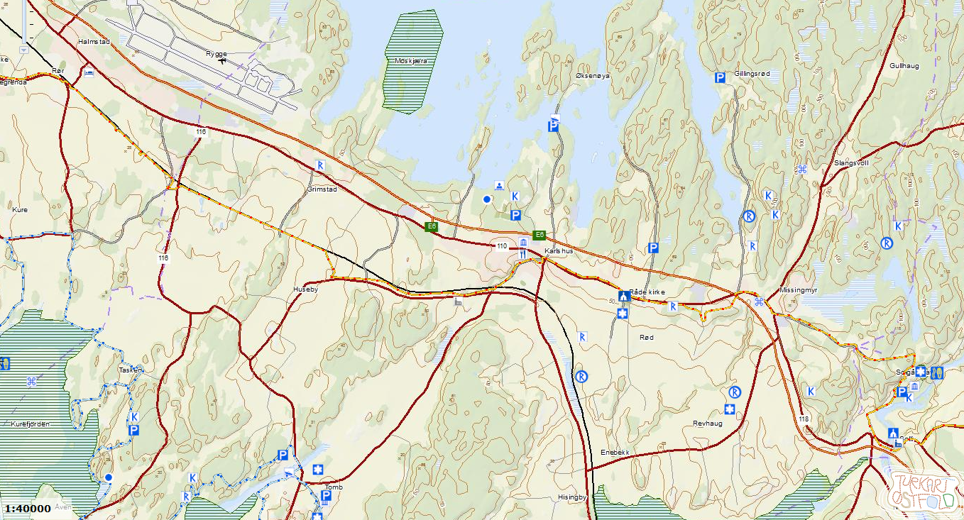
Råde-Moss 23 km
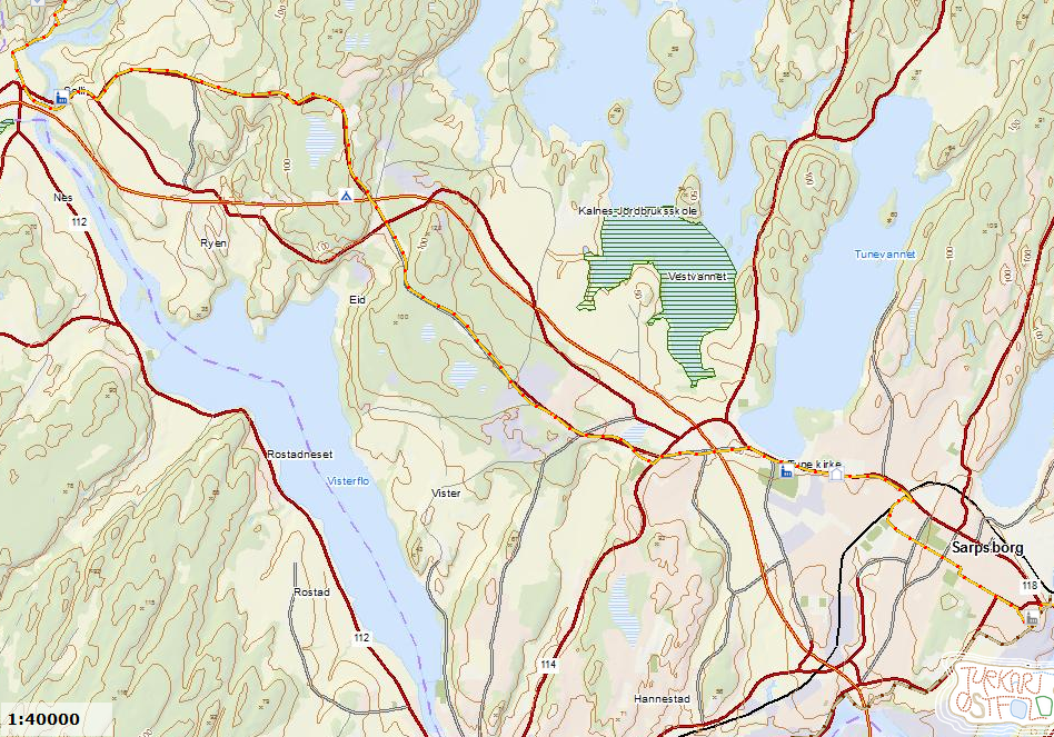
Sarpsborg-Råde 19 km
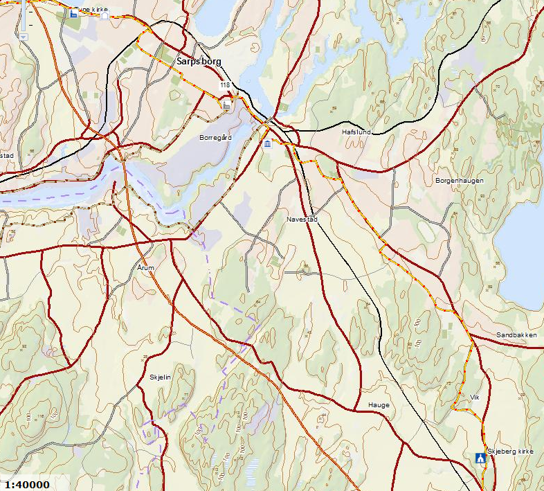
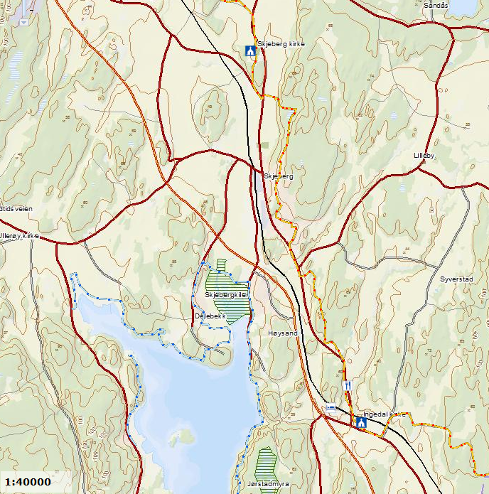
Ingedal-Sarpsborg 17 km
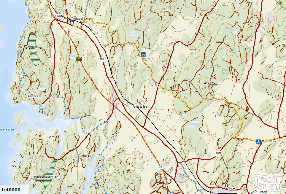
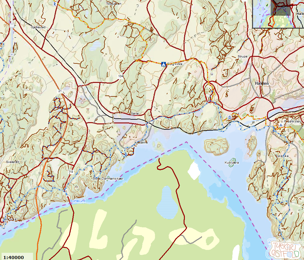
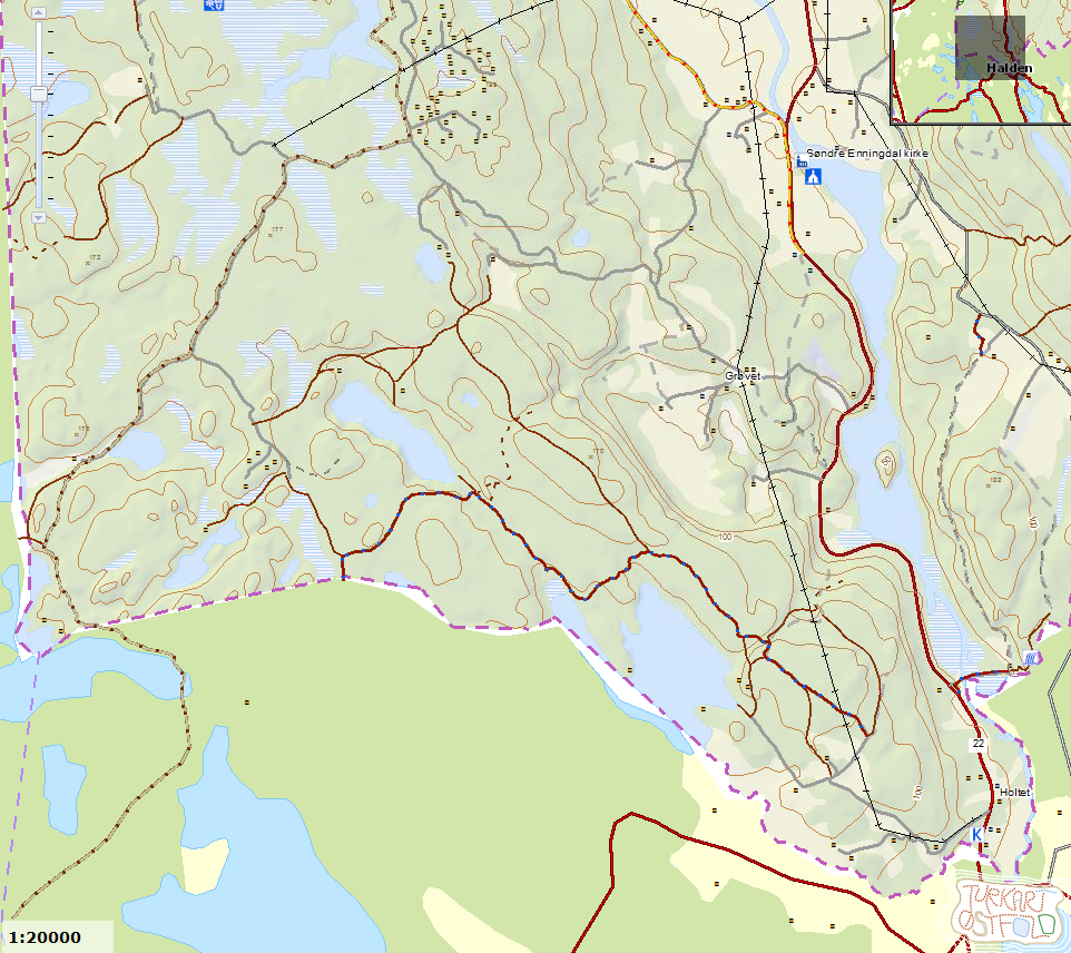
Halden (or Svinesund) – Ingedal 17 km
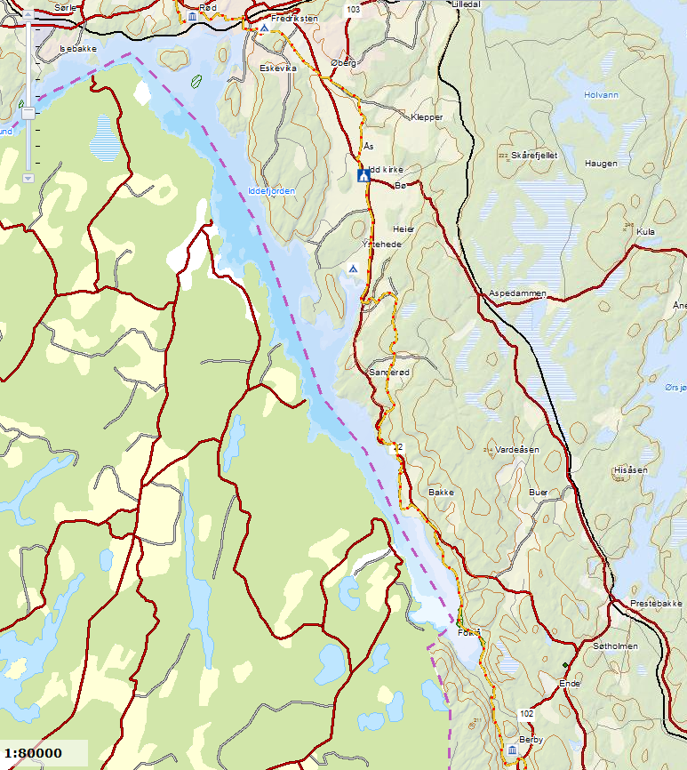
Berby-Halden 23 km
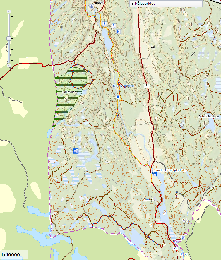
Holtet-Berby 13 km
Use www.ruter.no, www.nsb.no and http://bussrute.com/bussruter/ostfold/ to find ways to access your starting points by public transport.
A detour to consider:
Sarpsborg-Solli-Ravnsjøhytta + Ravnsjøhytta-Råde-Rygge
This gives you about 7+7 km extra, but Ravnsjøhytta is a splendid cabin for self service, provided by The Norwegian Trekking Association.
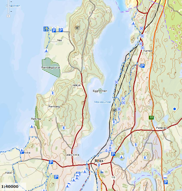
To make a quick plan, you can print out these copies of the route:
Map # 1
Map # 2
Map # 3
Map # 4
Map # 5
Map # 6
Map # 7
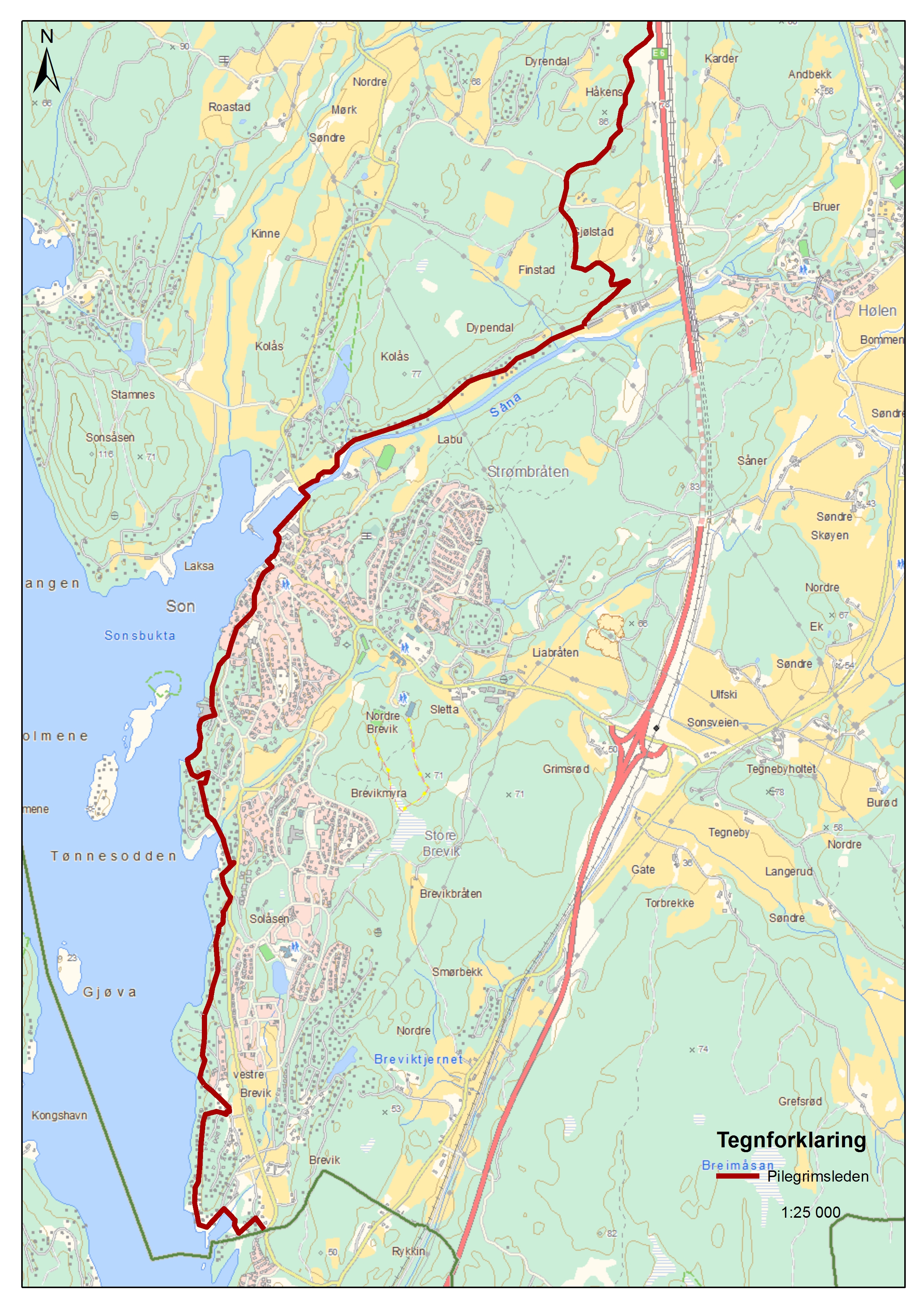
Then you pass the border to Østfold. Note that the pilgrim trail is not marked on the map from Moss to the border. The blue path is the coastal trail. The yellow is the pilgrim trail.
 .
.