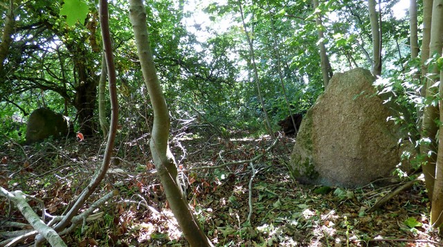
A pair of standing stones forming part of the row. View from north east.
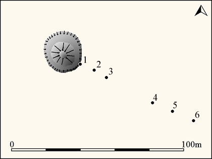
A single stone row measuring 76.2m long, including six widely spaced large-sized boulders leading south east from a kerbed cairn with surrounding berm. Originally this row would have had restricted views of the nearby sea.
Location
| Scotland | Highlands | Rest of Scotland | NH 93120 54860 |
| Lat 57.57120115 Long -3.788611278 | |||
Map showing the location of Auldearn stone row.
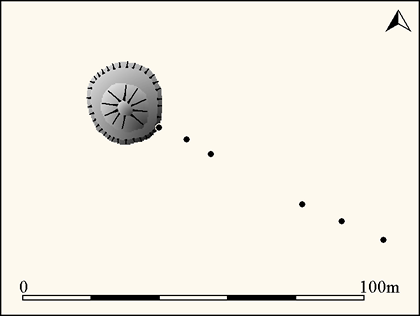
Simplified plan of the Auldearn stone row (Source OS 1:2500 1905 and sketch plan by V.G. Childe and A. Graham 1943 held by Canmore )
Characteristics
| Type: Single | Length: 76.2m |
| No. of stones: 6 | Size of stones: Only large |
| Orientation: 135° | Altitude: 37m |
| Upper end: Cairn | Lower end: – |
| Straight (Yes or No) : No | Sea View: Yes |
| Context: Stone circle | |
| Notes: Looks like a boulder alignment | |
Other Information
| Public Access: No. The stone row is in gardens. The western stones are in the garden of Stonerow House and the eastern ones in a field boundary which are most easily reached via the same garden. |
| Land Status: |
| Scheduled Ancient Monument: No |
Identification
Category: Plausible. No doubts have been expressed regarding the prehistoric interpretation of this row.
Typology
This stone row is of Type S8. Information on this form of stone row and other rows of this type is available here.
Photographs
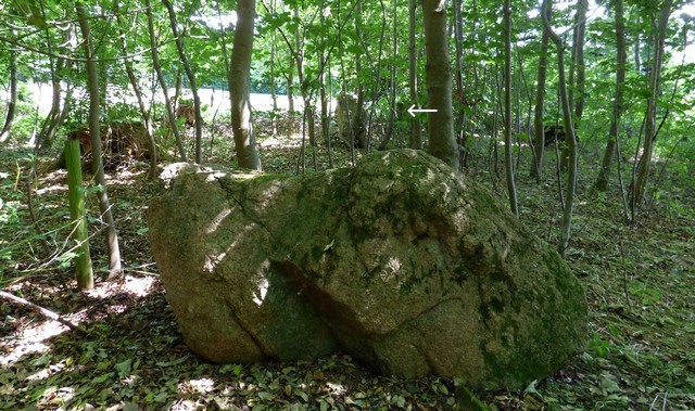
Looking south east along the row. Stone 1 in the foreground, Stone 2 beyond and Stone 3 indicated by the white arrow.
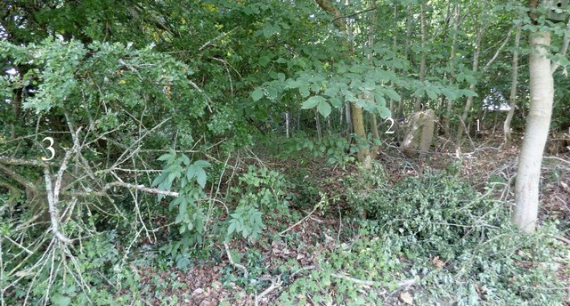
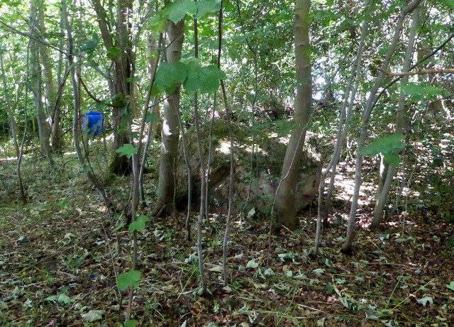
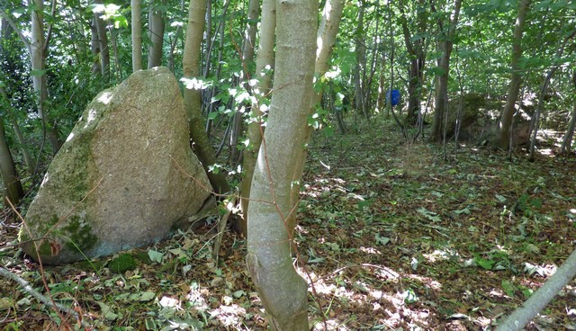
View from east of the three stones within the woodland. The numbers relate to the plan below.
Individual Stones
Plan of the Auldearn stone row showing the position of the numbered stones shown below.
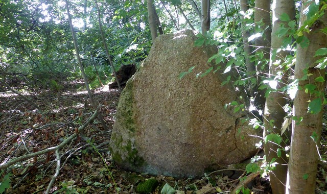
Stone 1
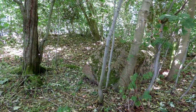
Stone 1 is recumbent, measures 2m long by 1m wide and stands 0.93m high. View from north east.
View from south.
Stone 1 and adjacent cairn. View from south west.
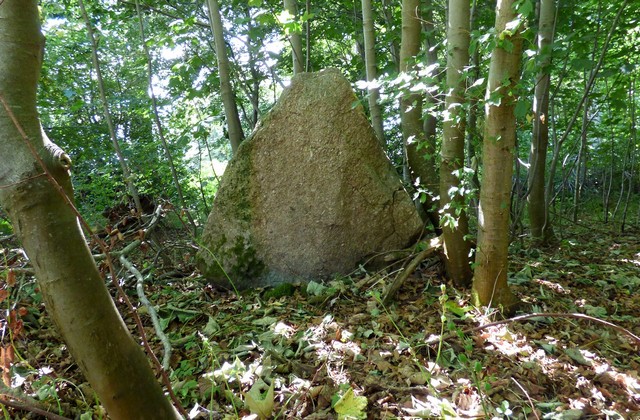
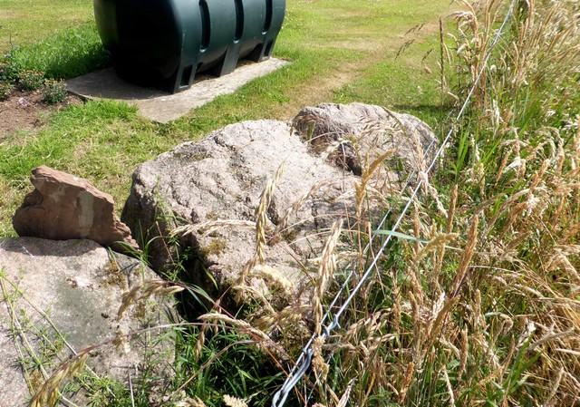
Stone 2
Stone 2 measures 1.55m long by 0.80m wide and stands 1.26m high. View from east.
View from east.
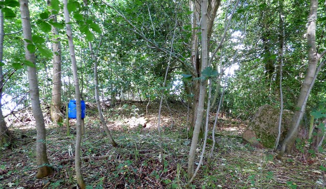
Stone 2 in the foreground left and Stone 1 to the right of the blue container. View from east.
Stone 3
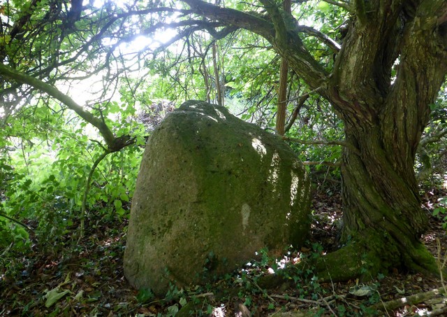
Stone 3 measures 1.1m long by 0.9m wide and stands 0.95m high. View from east.
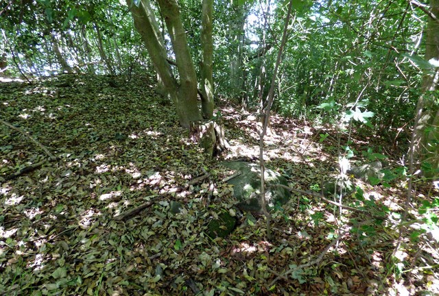
Stone 4
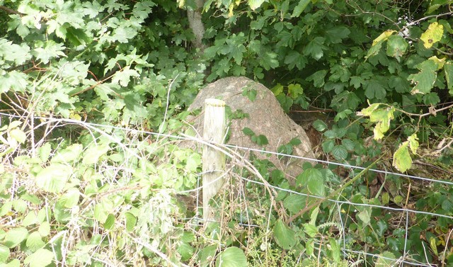
Stone 4 is situated within dense vegetation on the southern side of a field boundary. View from south.
Stone 5
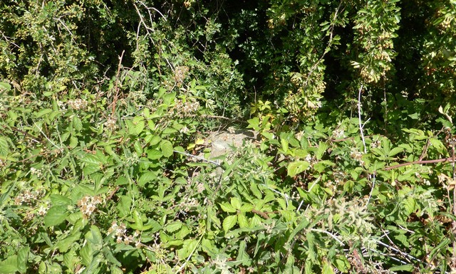
Stone 5 is barely visible during the summer months. View from south.
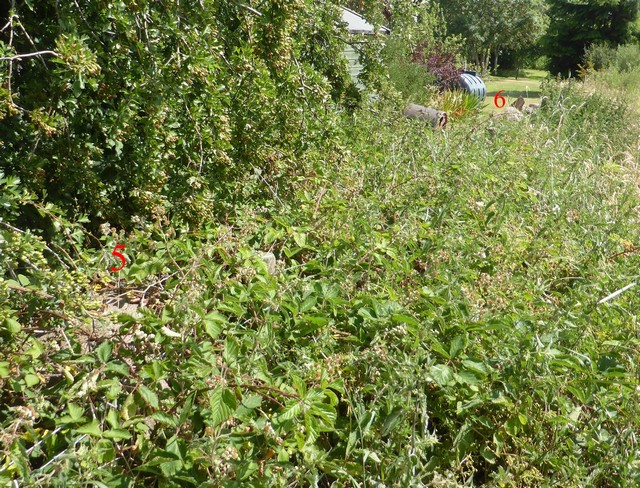
Looking south east along the lower length of the row which is obscured by dense vegetation. Position of stones 5 and 5 highlighted by red numbers.
Stone 6
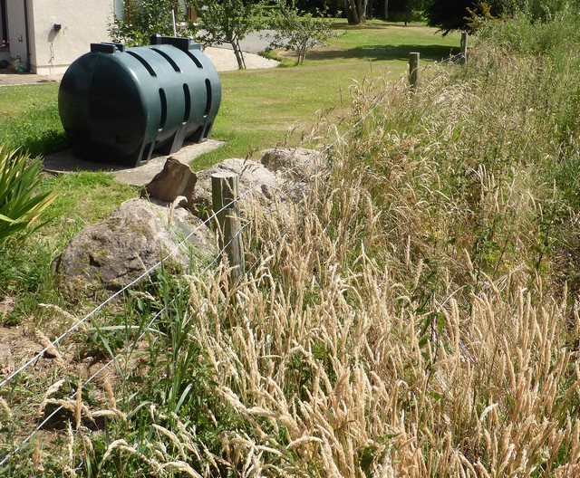
A couple of large stones in a garden wall. The furthest stone is probably the sixth stone in the row. View from west.
The easternmost stone in the row. View from the west.
Cairn
The stone row leads directly from a cairn with a well preserved berm and kerb. The cairn and row are clearly associated but without excavation it is not possible to be certain whether once was built before the other. Stone 1 is situated on or in the outer edge of the cairn and therefore it may be possible to establish with precision their stratigraphic relationship.
A length of surviving cairn kerb. View from south.
Access Information
This row stands mainly in a private garden and permission to visit it should be sought at Stonerow House. Car parking is available nearby at NH 93300 54800. It is a short walk from here to the row.
Online Resources
Timeline
VISITED:- 9th July 2018
FIRST PUBLISHED:- 13th February 2016
LAST UPDATED:- 3rd January 2019
