Gordons Knob
Today’s adventure was a local mission, with the aim of heading up to Gordons Knob from Inwood lookout South of Belgrove. It turned out to be an absolute cracker! Around 13 km there and back, we started walking at 10 am, finished at 3.30 pm and almost made it to Gordons Knob (1592m), but the unnamed higher peak at 1685m gave much better views, so we lunched there for an hour and returned. We wondered why Mr Gordon hadn’t picked that one as his namesake.
Getting There
We drove South from Nelson on the SH6 and made our first stop at the magnificent Wakefield bakery, about 30 minutes away, for an almond croissant and a danish. From there we drove the 10 minutes of so down through Fox Hill and Belgrove before turning left onto Wai-Iti Valley Road (the road to St Arnaud). We turned left again a few minutes later onto Wai-Iti Road.
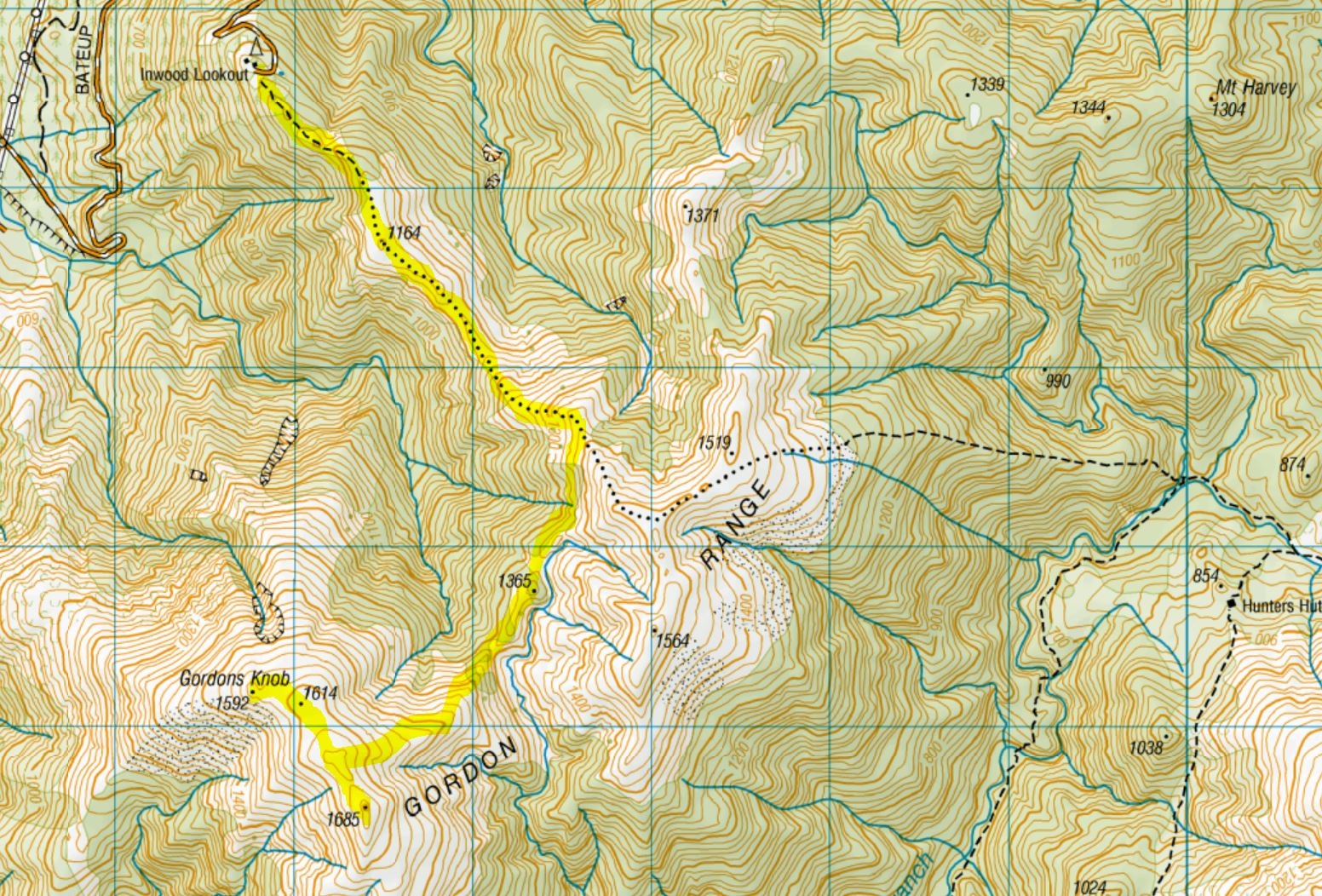
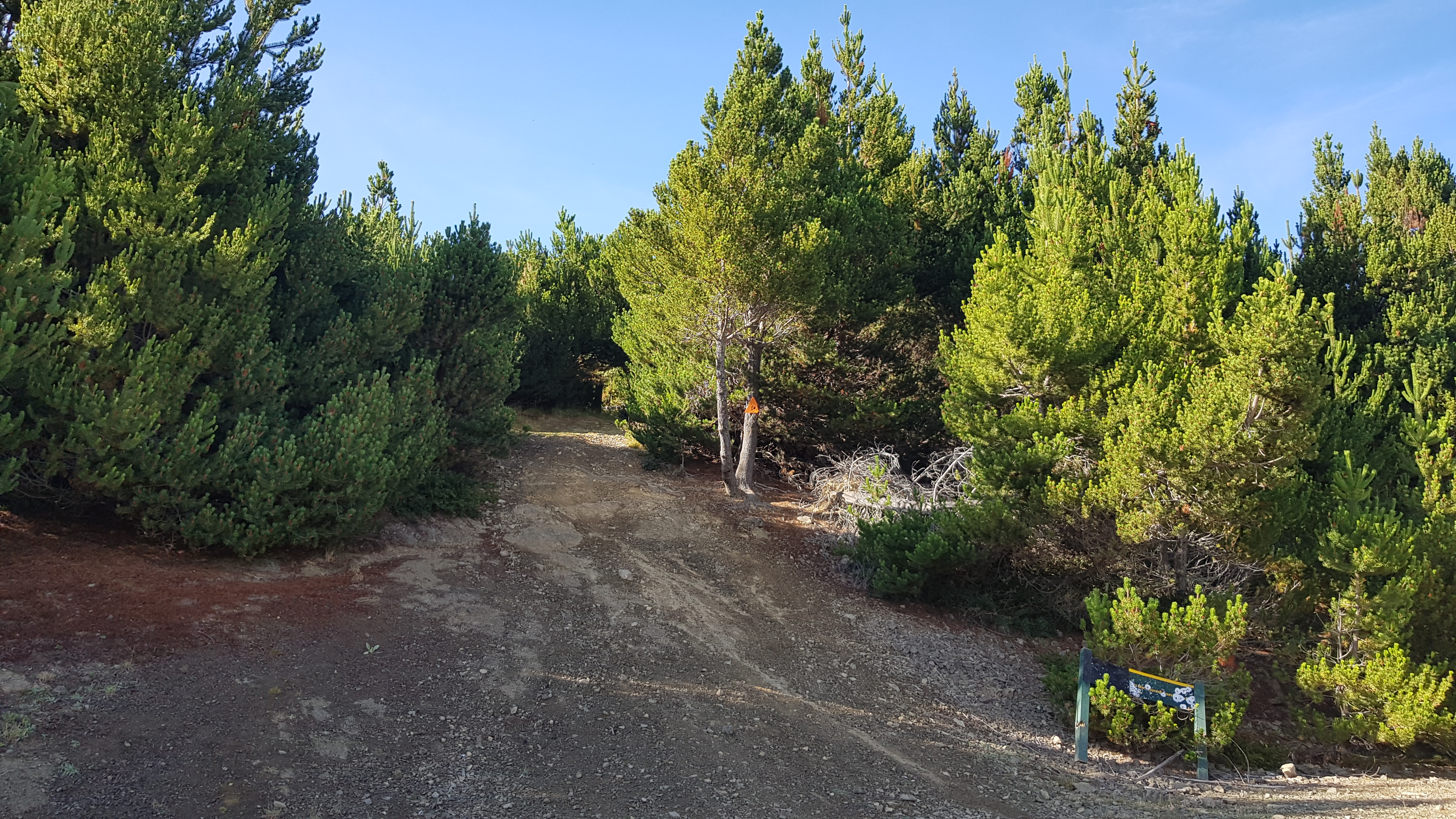
Wai-Iti road is a 4WD track that winds its way up through pine forest for 20 minutes or so up to Inwood Lookout. The road was in pretty decent shape and was surprisingly better at the top than at the bottom. I wouldn’t have risked taking my ageing van up there, but upon our return later that day, there were a couple of non-4WD vehicles in the car park. Inwood Lookout (a fire lookout station) sits at approximately 1030m and watches over the Golden Downs forests below. The excellent Nelson Trails website gives a little more history of the area.
From Inwood Lookout
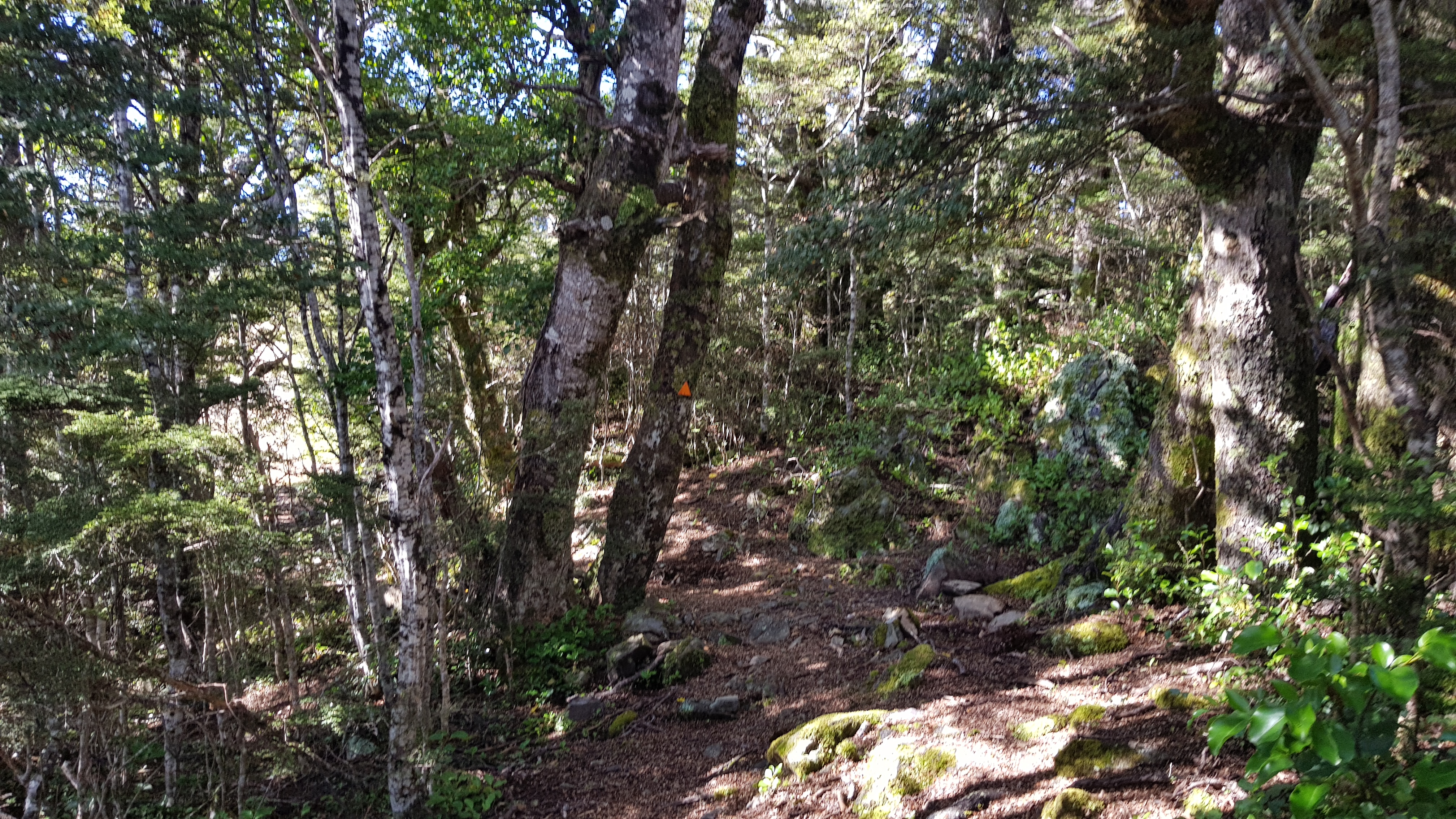
Upon arrival at the car park, we demolished one of the pastries before setting off. Good thing too – even though we’d driven to 1030m we were still climbing up to 1685m with a fairly significant ‘down and up again’ in the middle. The marked trail started a little uninspiringly from the car park, before entering beech forest, then coming out onto the tops about a kilometre later.
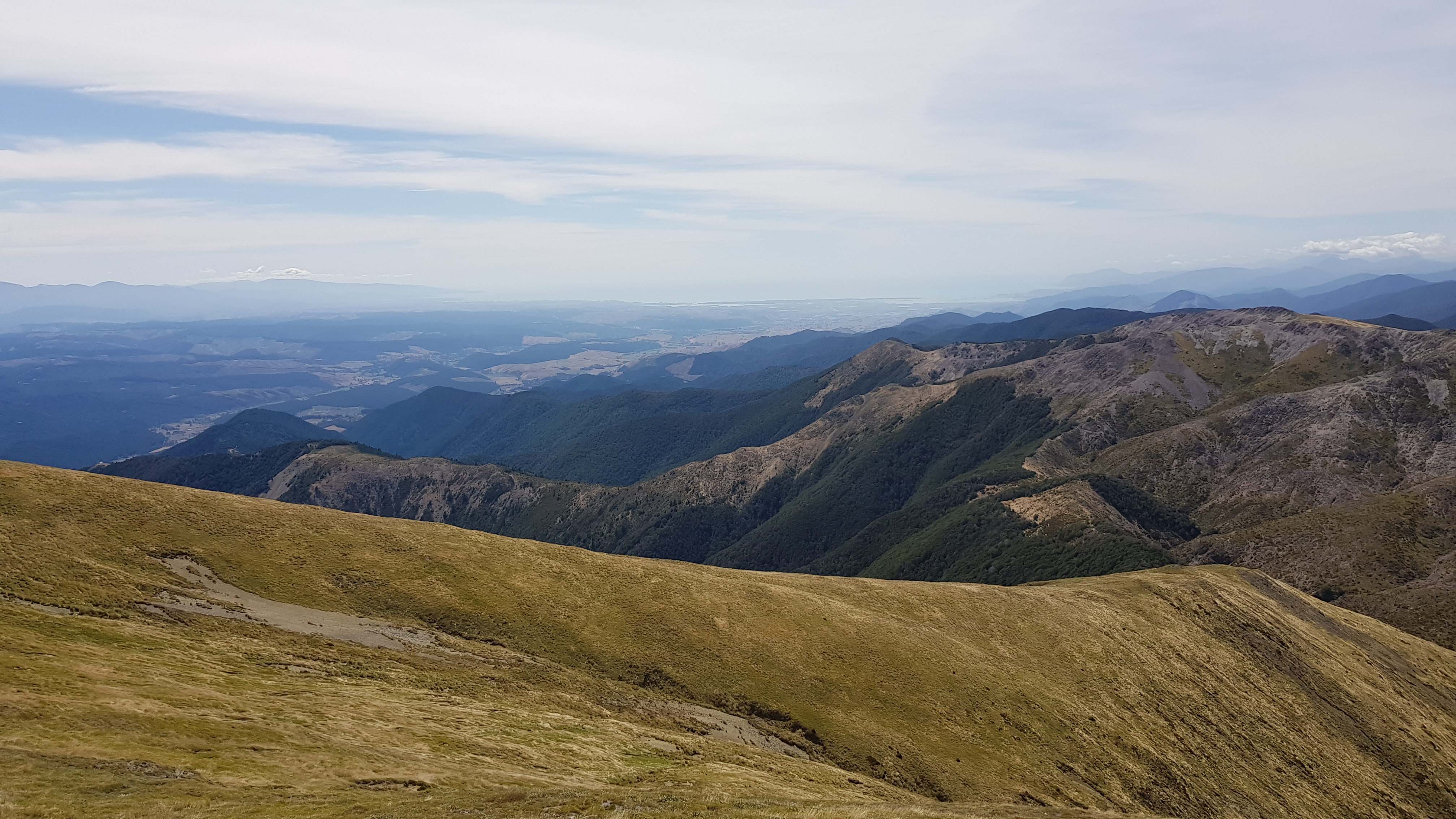
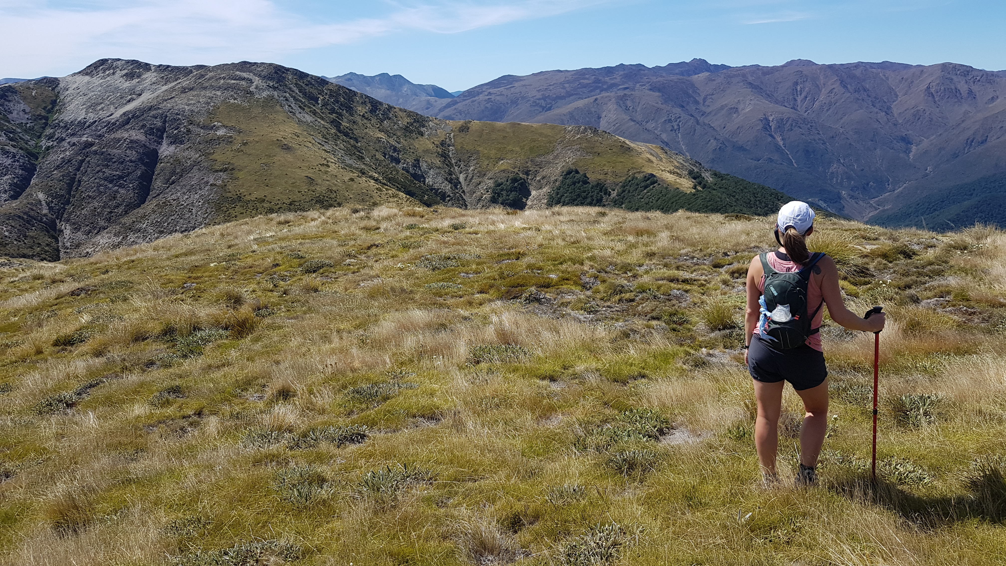
We walked the easy, marked track along the ridge through tussock and scrub, and after about 40 minutes began to climb. The views were already amazing looking up to Nelson and across to the Kahurangi National Park. As we began to climb we heard the familiar squawk as a couple of Kea (alpine parrrots) flew by.

Turn Right to Gordons
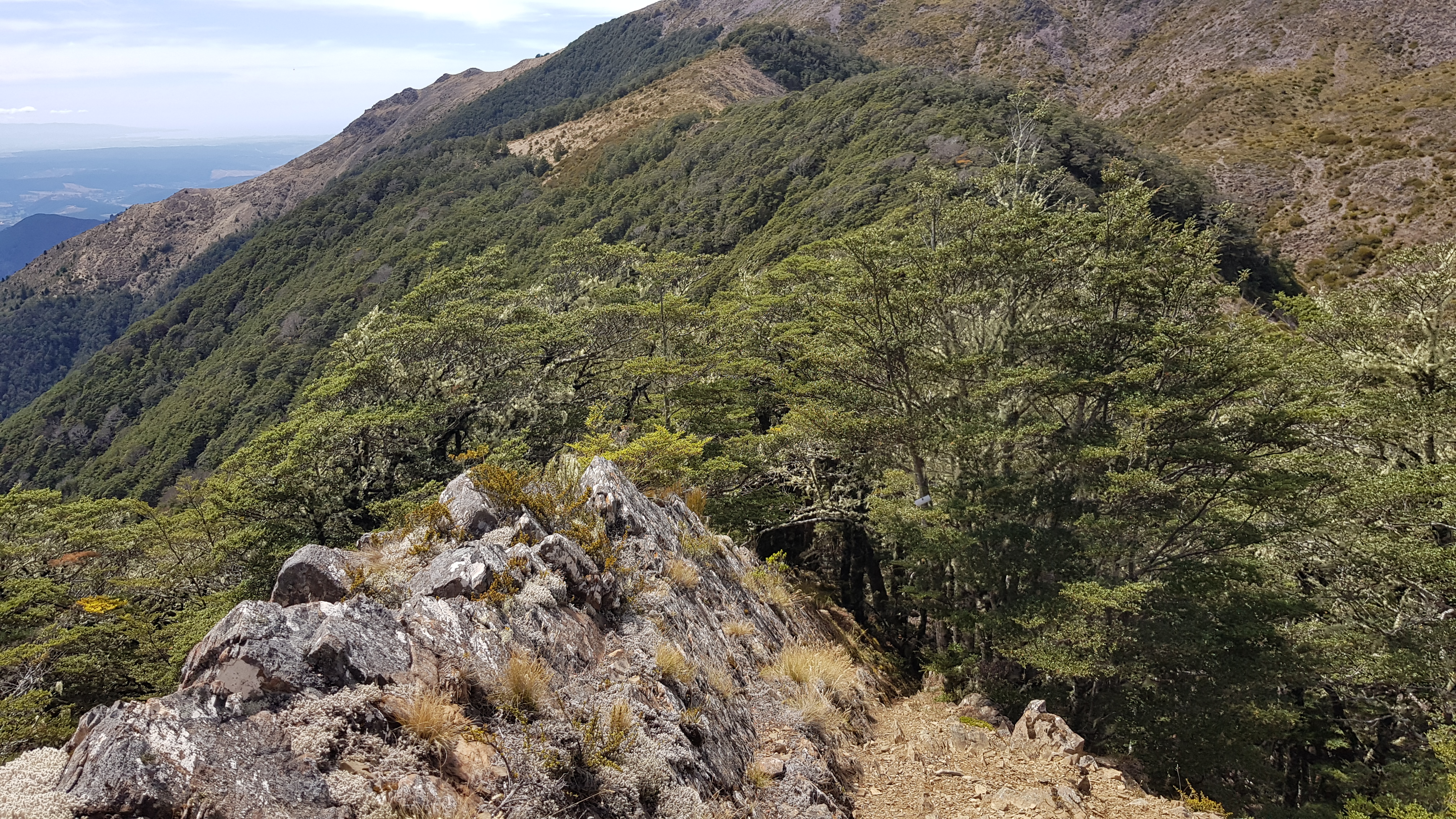
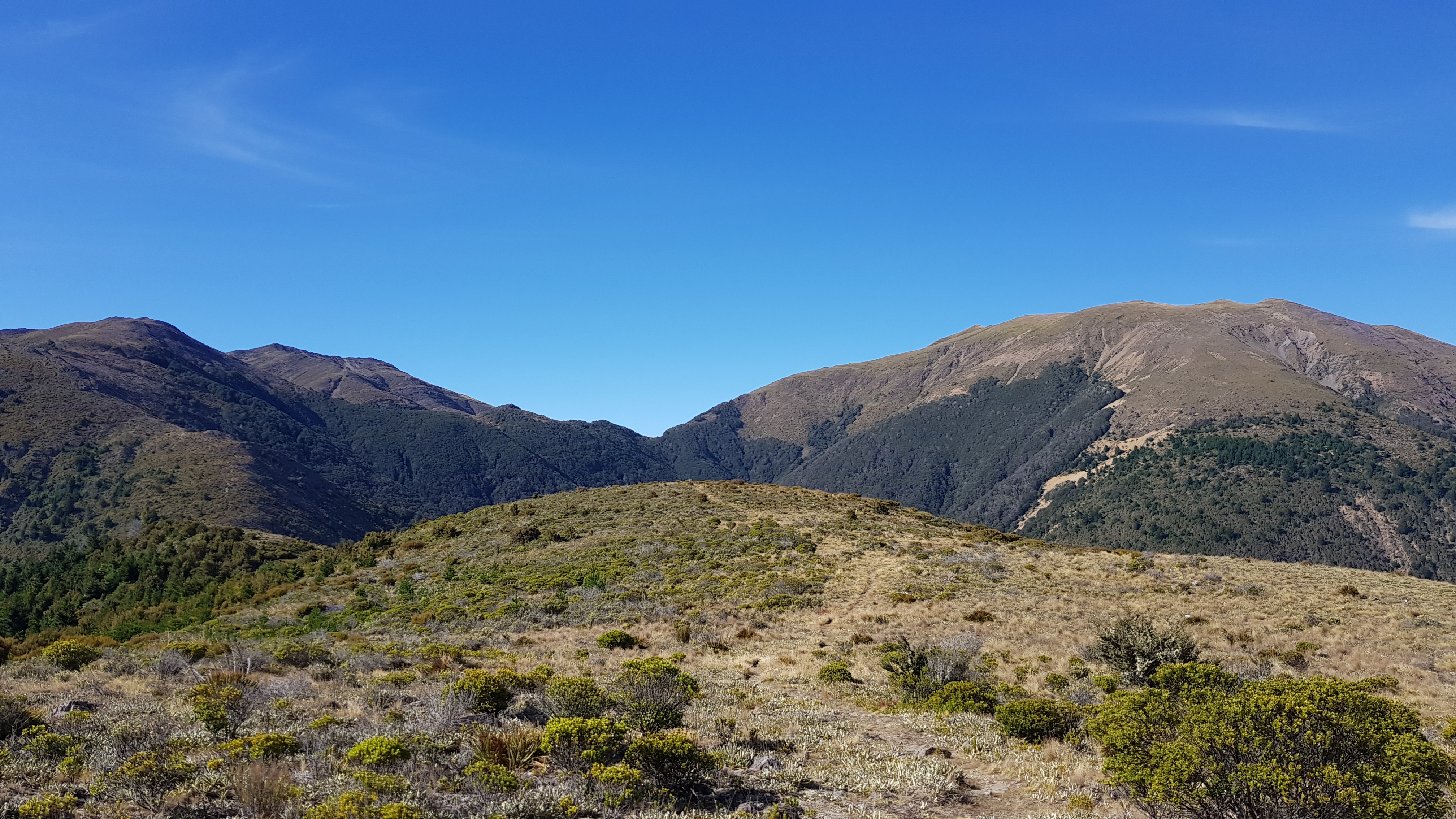
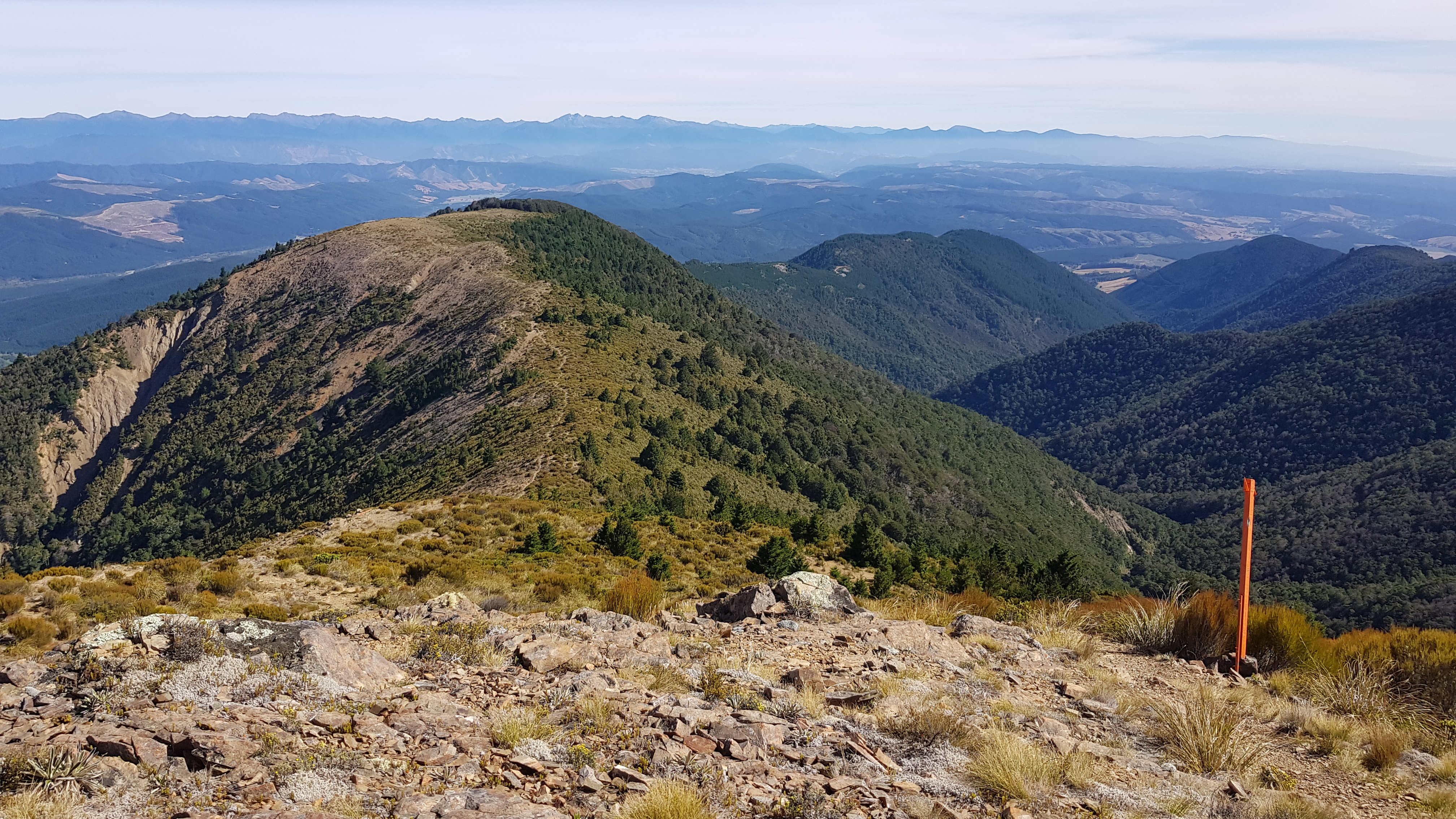
We completely missed the obvious cairn that tells you when to head off the main track to the right to head for Gordons. The Nelson Trails website told us afterwards it was around the 1440m mark (and we did find it on the way back). Instead, we continued to approx 1480m and bashed our way above the treeline for 20 minutes before finding some cairns on the rocky saddle.
I had umm’d and ahh’d about bringing my hiking poles, and had decided against it. Turns out I should have brought them (I especially needed them on the return journey). Rich leant me his and rushed into the bush to whittle himself a very decent alternative, so I didn’t feel quite so guilty.
(Instead of turning at the cairn, the poled route straight ahead takes you up and over the 1519m peak, down to the Motueka Left Branch, where you could continue to Hunters hut – part of the Richmond Ranges Alpine Crossing that I had walked as part of Te Araroa Trail. The day I had walked that section of TA, on Christmas day just over a year ago had been terrible weather – cold, windy and raining. I was glad to be up here on a wonderful sunny day this time!)
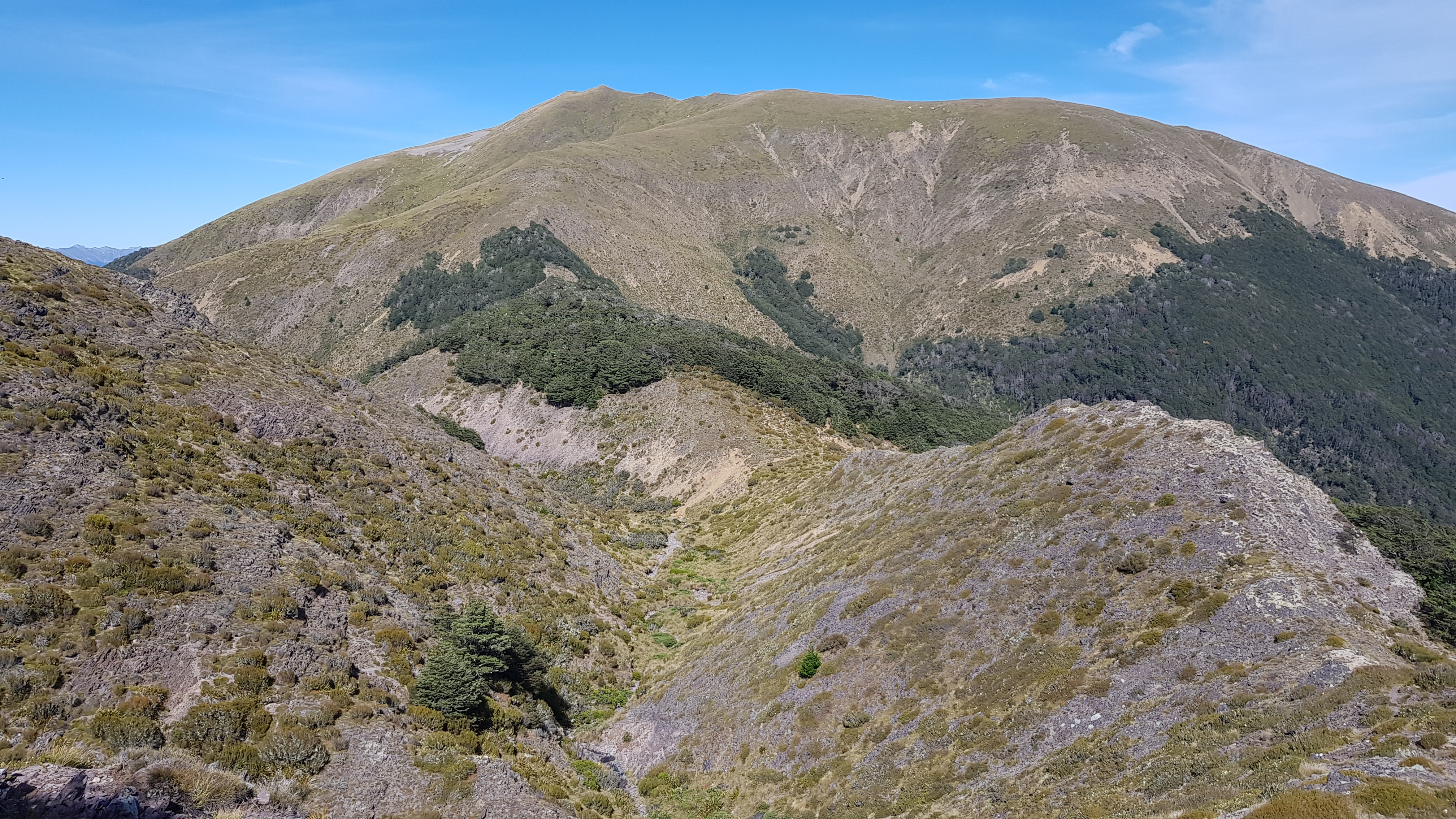
The route across to Gordons was really pretty. As we followed the ups and downs of the saddle we could hear the faint trickling of the stream below us to the left. After about 30 minutes we came out of the bush line and onto the grassy slopes of the Gordons tops. The views got better and better, across to the magnificent Red Hills range.
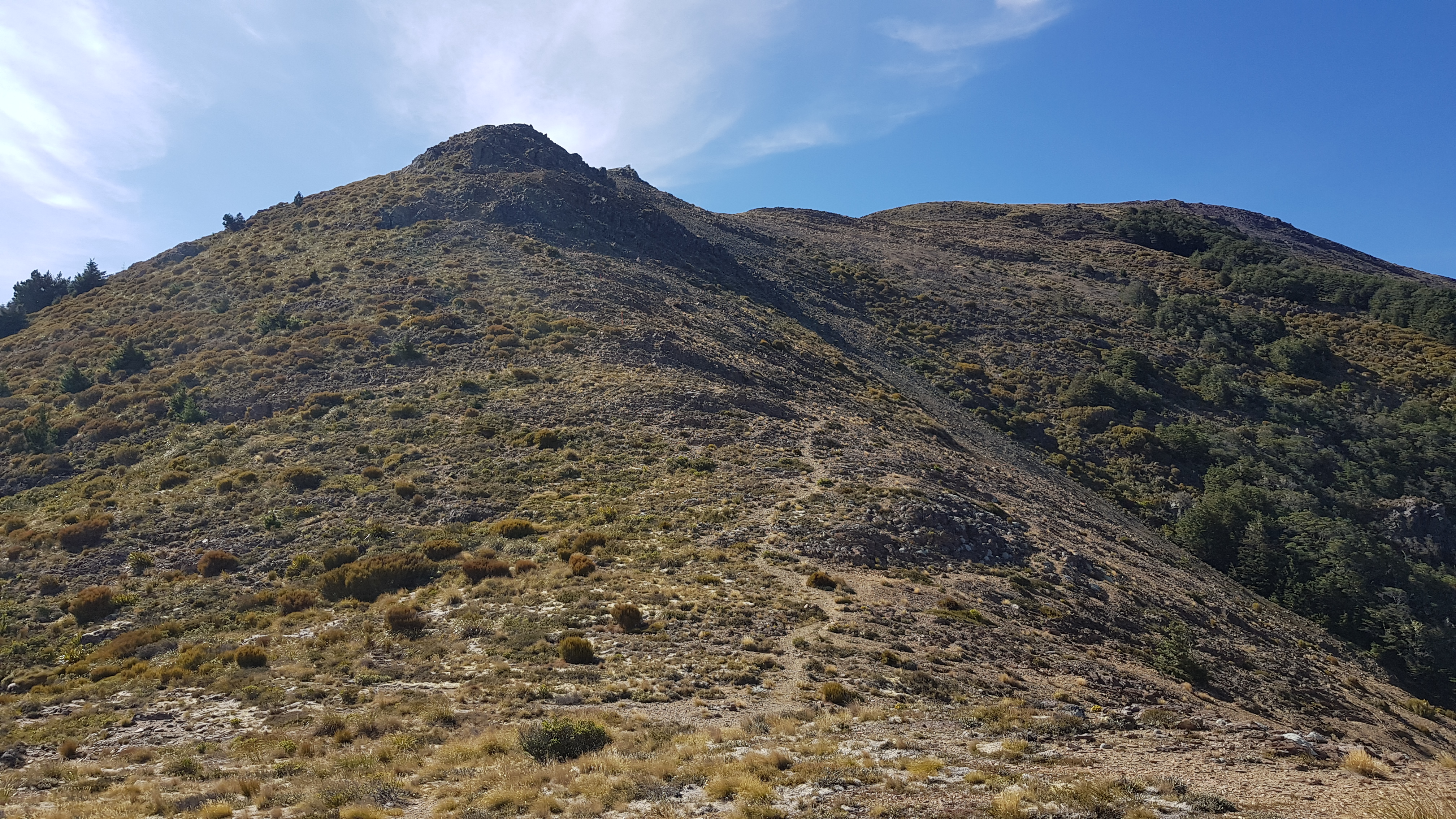
It was quite the climb up the 300m or so of tussock to the tops, but the sun was shining, we got stuck into it and made pretty good time. As we climbed we saw a tiny bright orange speck in the distance across the valley – Porters Creek hut! I remembered how cold, wet and muddy it had been when I had arrived there last year, and how a friend limped in hours behind us dazed and exhausted. What a difference a bit of sunshine makes.
Not Quite Gordons Knob
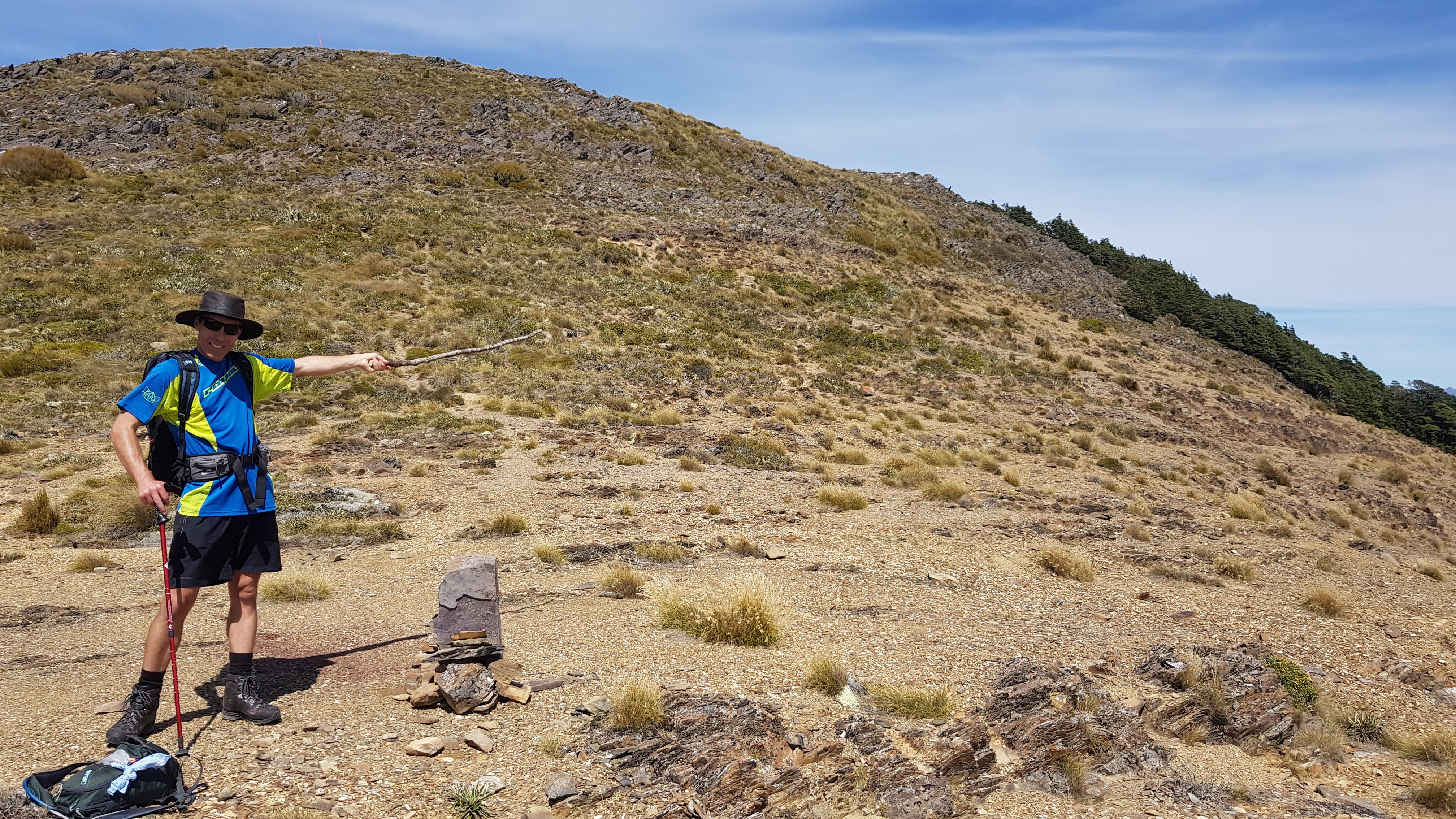
When we reached the tops of the grassy slopes at 12.30 pm (2 hours from the car park) we could see Gordons Knob, around 300m away, slightly downhill overlooking the Golden Downs forestry blocks. Instead of bagging it we promptly swung a left and headed left over the little bumps to the peak at 1685m and marvelled at the incredible views.
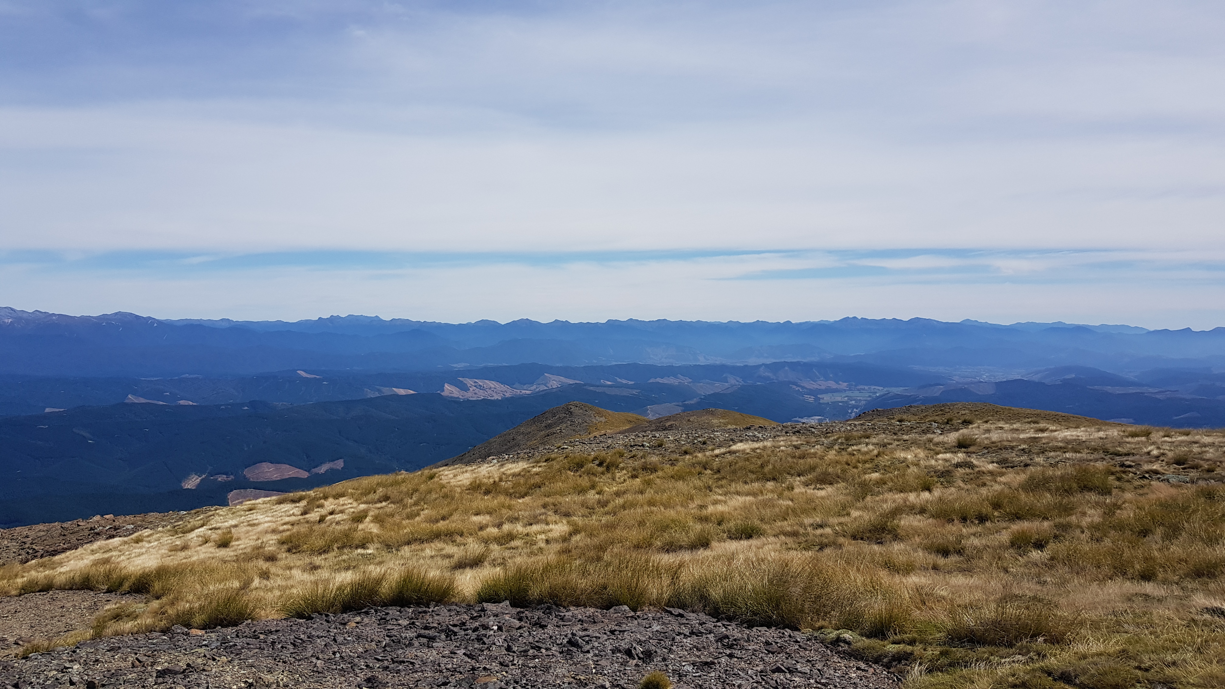
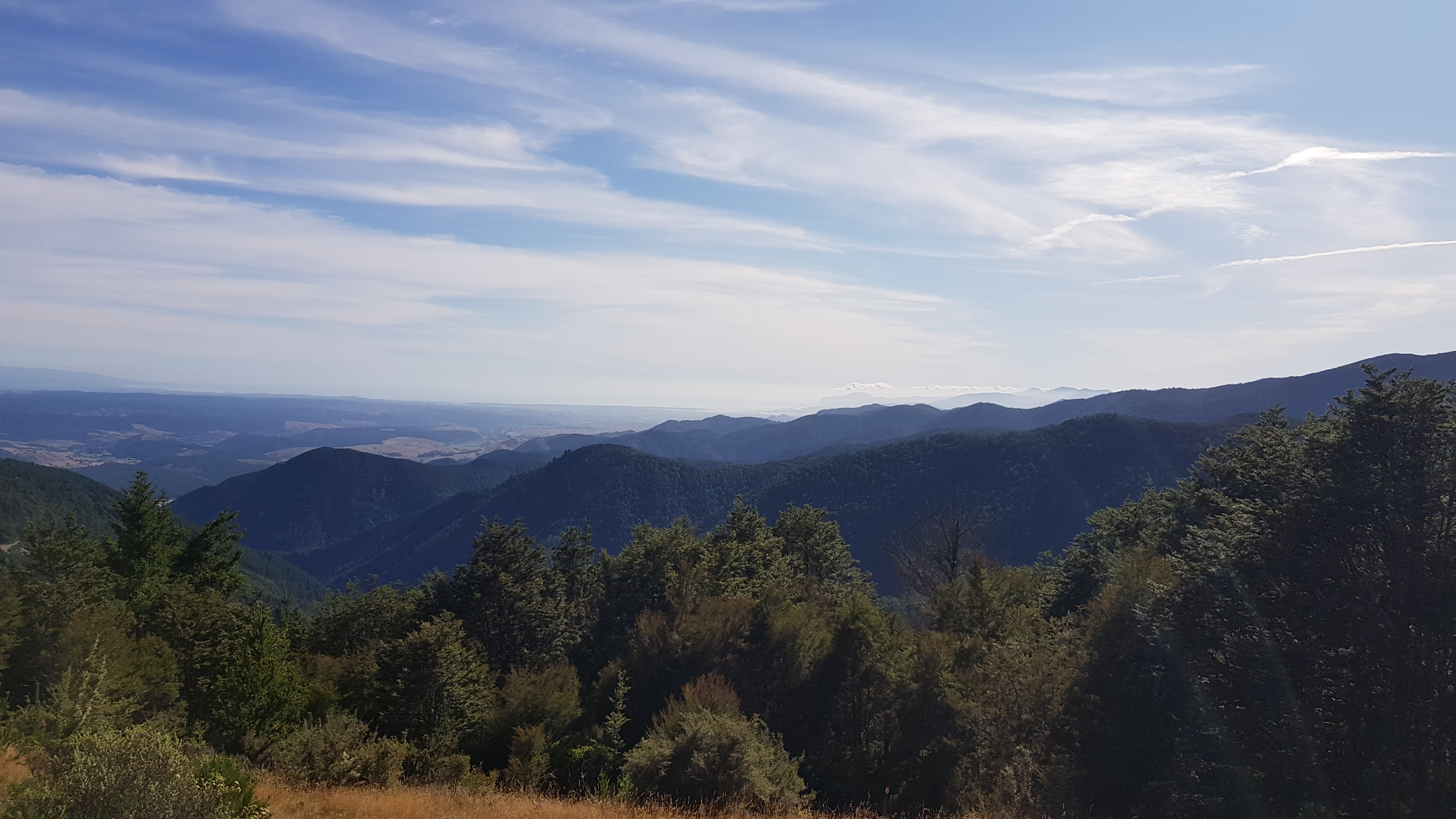
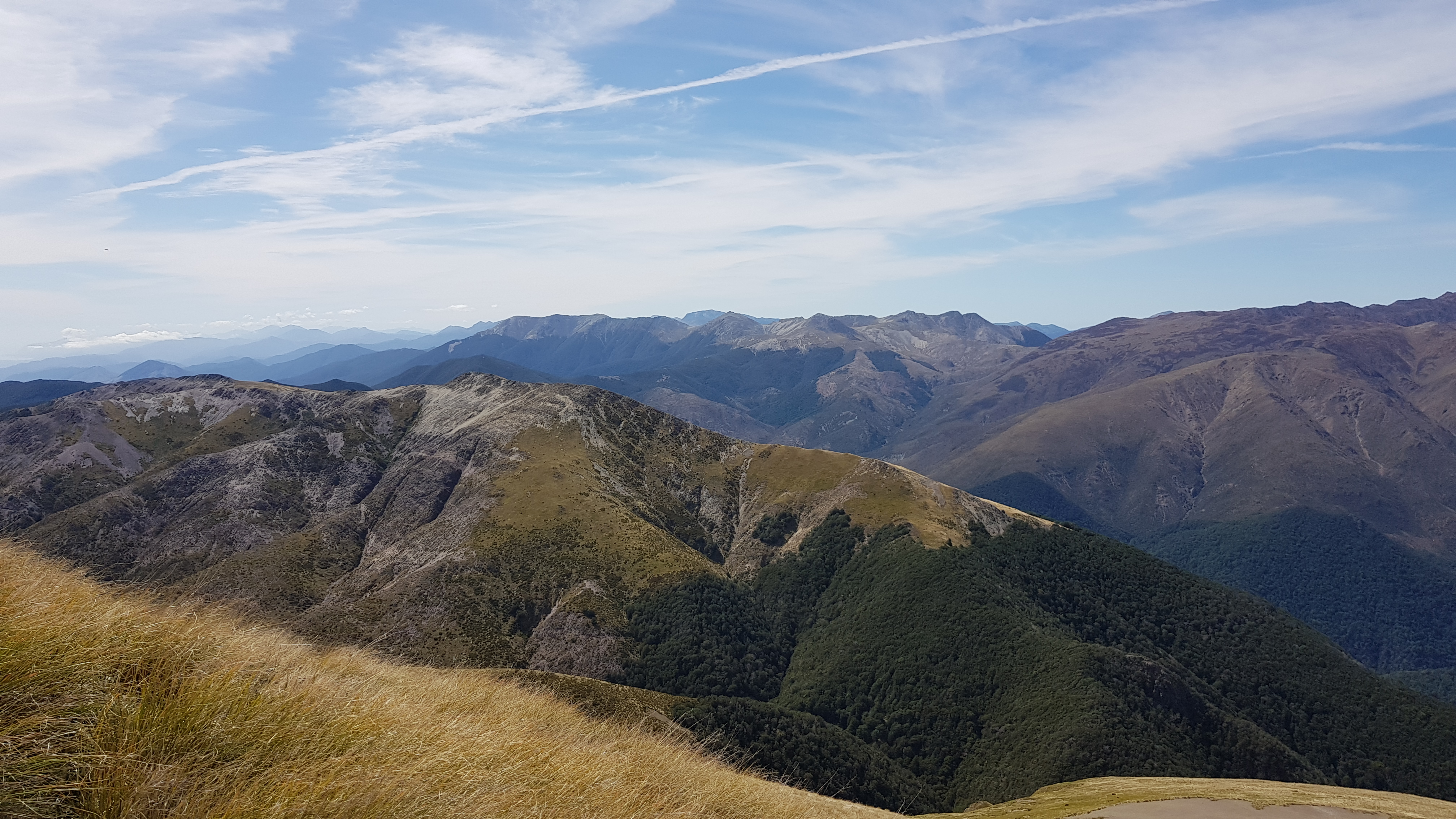
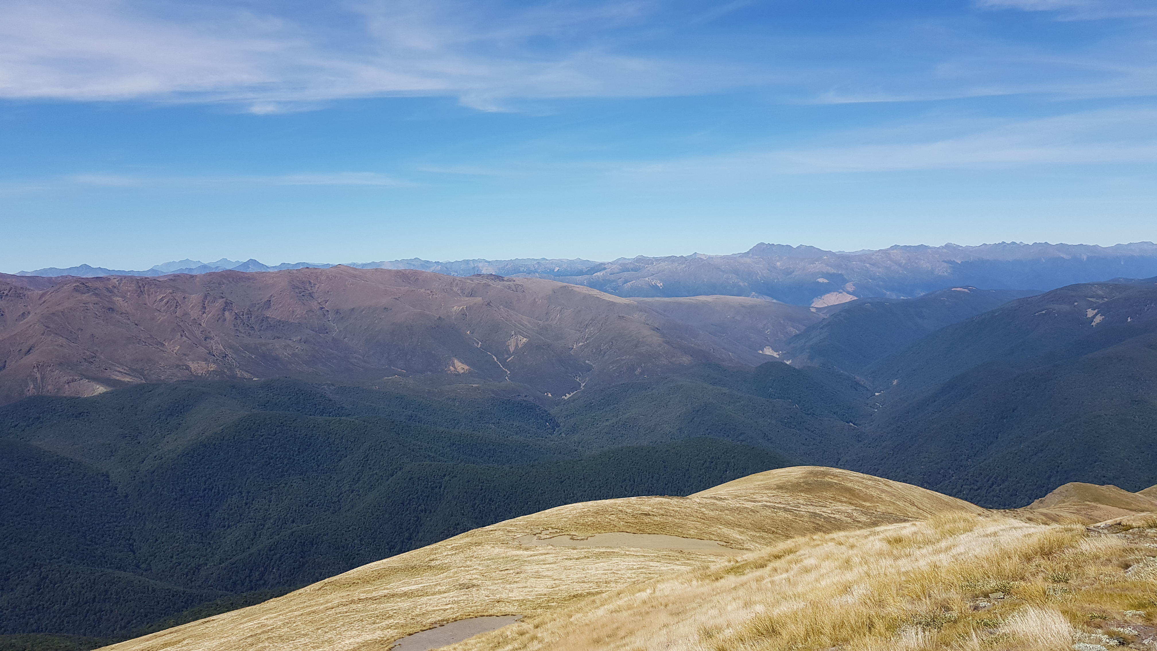
From the high point, we had uninterrupted views all round. The Porter Ridge and Red Hills ridge split by the Motueka River Right branch was just across the valley ahead of us and for the first time, I got an idea of just how big the Red Hills were. In the distance was Mt Ellis where I’d made my Christmas phone call to my parents last year; bellowing into my phone, crouched behind a rock to try to escape the wind and rain.
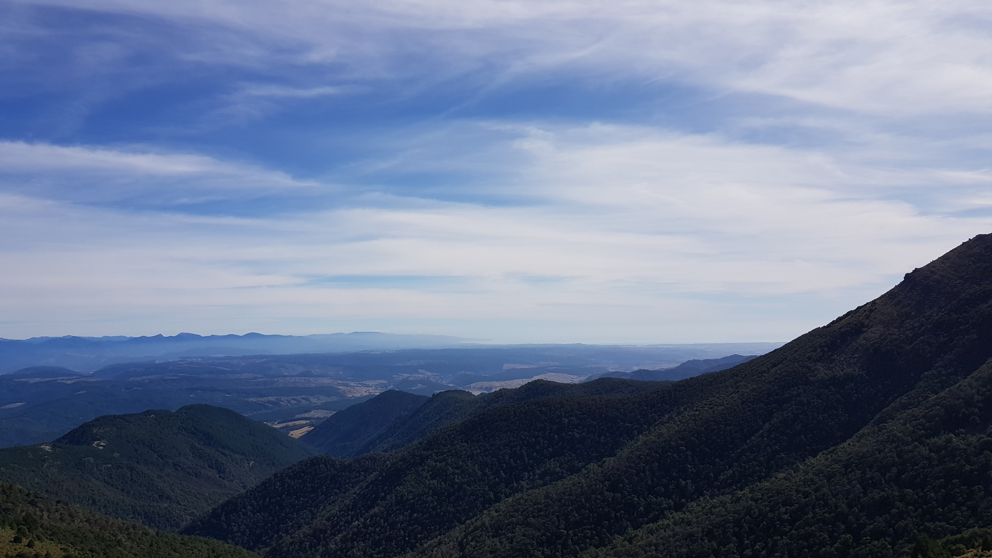
To the South East were the huge mountains of the inland Kaikoura ranges. To the South West we could see Lake Rotoiti in the Nelson Lakes, and all the way down the St Arnaud Range and the Robert Ridge down to the Travers Range. Behind us to the west was the wonderful skyline of Kahurangi. Our friends were up Mt Owen today, so we gave them a little wave.

Heading Back
We enjoyed one of those lunchtimes when you’re content to laze in the sun for a while with the perfect temperature and just the right amount of breeze. I almost fell asleep… Eventually, we got ourselves up and at 1.45 pm headed back. It was a nice easy walk down the tussock back to the tree line.
When we got onto the saddle we found the cairns we’d missed on the way here, so it was an easy walk across the saddle back up to the marked track. It took an hour to get back down from the tops to the main track, then just under an hour to get back to the car.
What a great day! I’d definitely recommend this walk if you want a decent climb and superb views.