Caisteal Grugaig also known as Dun Totaig - visited on 27/6/17
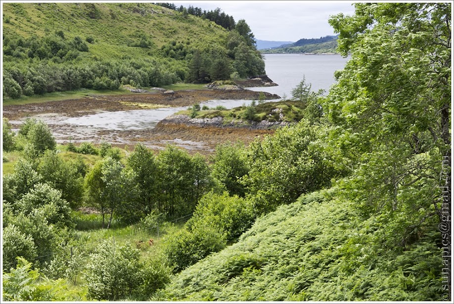
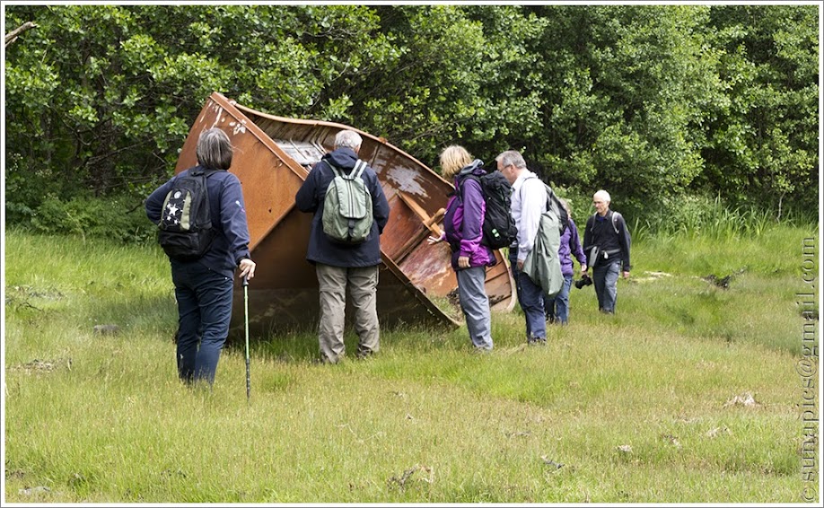
Seven of us ventured out on a day which defied the weather forecast. Rain forecast but never arrived. We parked between Letterfearn and Totaig and met hardly anyone --apart from a hire car driven by foreigners who thought they were on the way to Eilean Donan castle!
It really is a beautiful little broch with so many of the typical broch features well preserved. Approaching from the south in summer, as we did, high bracken hides the broch from the coastal path running from Letterfearn to Glenn. Peering through the bracken, the incredible triangular lintel is what draws the eye.

That's when the questions start in the mind.. how many brochs have triangular rather than rectangular lintels? (several but Clachtoll in Assynt is the one that I remember best) Were the triangular lintels purely structural ie were they planned to relieve and distribute the pressure over the entrance? Did they have some spiritual significance? Were they simply considered more beautiful than rectangular lintels? Once it was discovered that they did or could serve a function, such as relieving the pressure over the entrance, did they become more desirable? Of course in the end, it may have been down to availability of the right shaped stone. If they served an architectural function, one might suppose brochs with triangular lintels were built later than those with rectangular lintels. There does not seem to be sufficient accurate dating of brochs to check this out.
 |
| Stepped lintels and doorway to "guard cell" on right- Photo by Steve T |
Moving into the entrance, this broch has another interesting feature. The entrance slopes upwards and the first few lintels over the entrance are stepped upwards too. One of these lintels forms an unusual "ceiling" check for the door. It would also be a good place for taller and unwary visitors to bang their heads on the way out - rather like the, now internal, doorway in my own traditional croft cottage.

From the entrance a passageway (described by Mackie, on Canmore, as an elongated guard cell) leads off from the broch entrance.
<div class="separator" style="clear: both; text-align: center;">
</div>
From the inside of the broch, moving clockwise from the entrance. there are entrances to two furtehr cells (marked cell 2 and 3 on the plan in the
previous post )
 |
| Corbelling in cell 2 | |
|
|
The walls of cell2 display some interesting cave art -- but I was unable to convince anyone that they were prehistoric.

In cell 3, little of the roof remains but the passage leads onto a staircase which would have led up to an upper level.
The scarcement which would have supported the upper level is well preserved all around the interior although there is some question about a possible break above cells 2 and 3.
References:
https://sites.google.com/site/brochgroup/home/architecture-engineering-of-brochs
https://canmore.org.uk/site/11812/caisteal-grugaig
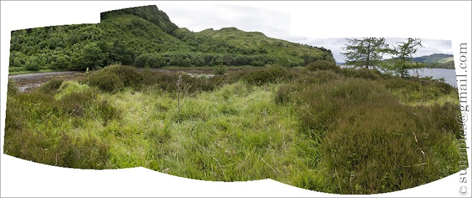
Illustrated map of our route: