Description
Map
Ratings and reviews
See around
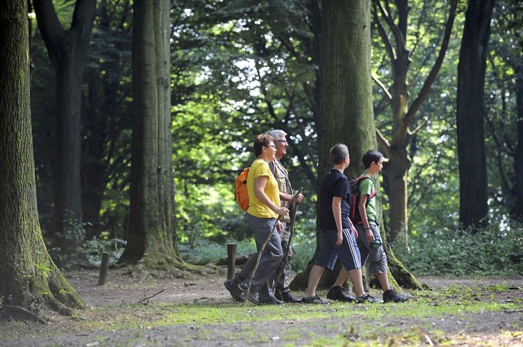
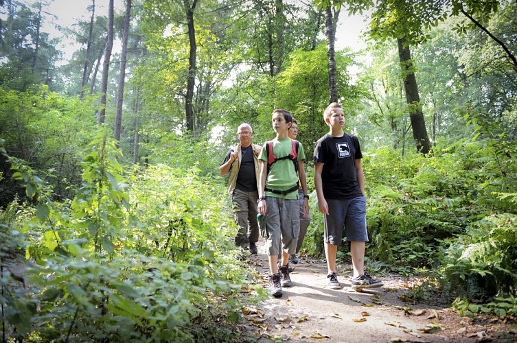
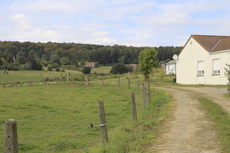
A pied, autour du Mont-de-l'Enclus
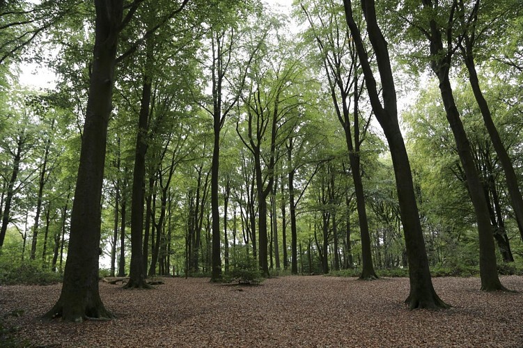
Credit : (c) Coralie Cardon
Description
This circuit is only available in French and in Dutch. Please feel free to download the FR map card.
Technical informations
This circuit was updated on: 30/11/2023
6.4 km
|
max. 124 m
min. 40 m
| |||
Styles : HikingBaladeDiscoveryIn the countryForest Public : FamilyHearing-impairedOccasional hikers Themes : PatrimonyNature walkHistory | ||||
Altimetric profile
Starting point
30A
Enclus du Haut
,
7750
Orroir
Lat : 50.75849Lng : 3.48254
Additional information
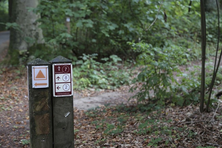
Signalétique (EN)
No signage
Data author

proposed by
Maison du tourisme de la Wallonie picarde
35 Quai Saint-Brice 7500 Tournai Belgique
Ratings and reviews
To see around