2004
SU1903 : Castle Hill
taken 20 years ago, near to Burley Street, Hampshire, England
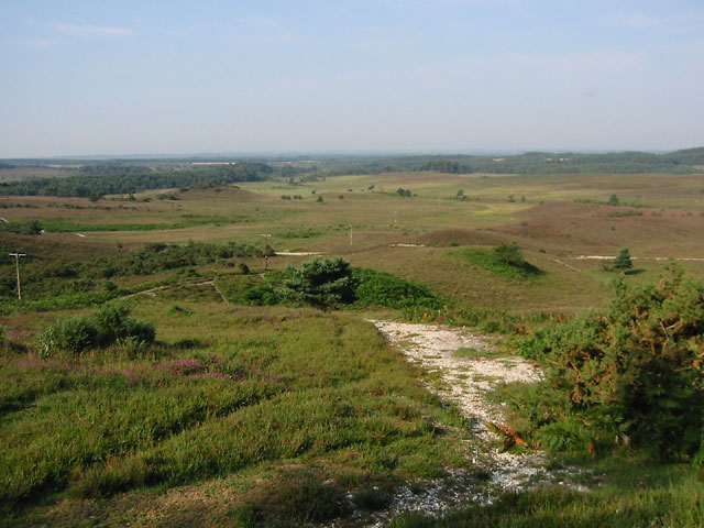
Castle Hill
Taken from the top of Castle Hill, showing some of the outer earthworks of this Iron Age hill fort. Looking a little south of west towards Strodgemoor Bottom.
 Map © Crown Copyright")
TIP: Click the map for more Large scale mapping
- Grid Square
- SU1903, 24 images (more nearby 🔍)
- Photographer
- Kevin Danks (more nearby)
- Date Taken
- Saturday, 7 August, 2004 (more nearby)
- Submitted
- Friday, 10 June, 2005
- Subject Location
-
OSGB36:
 SU 19 03 [1000m precision]
WGS84: 50:49.8426N 1:43.4691W