2011
SK1664 : Upper Reaches of Cales Dale
taken 13 years ago, near to Monyash, Derbyshire, England
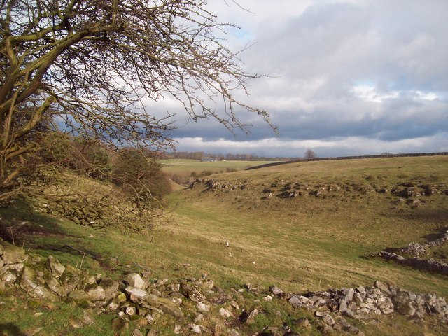
Upper Reaches of Cales Dale
A fleeting glimpse of sunshine on an otherwise rainy day over the White Peak. Cales Dale is a superb calcified limestone valley which compares favourably to the delights of Lathkill Dale, minus the crowds.
 Map © Crown Copyright")
TIP: Click the map for more Large scale mapping
- Grid Square
- SK1664, 16 images (more nearby 🔍)
- Photographer
- Jonathan Clitheroe (more nearby)
- Date Taken
- Sunday, 27 February, 2011 (more nearby)
- Submitted
- Sunday, 27 February, 2011
- Subject Location
-
OSGB36:
 SK 165 645 [100m precision]
WGS84: 53:10.6464N 1:45.2123W - Camera Location
-
OSGB36: SK 165 644
- View Direction
- Northeast (about 45 degrees)