2015
SN9902 : Heol-y-Mynydd, Aberdare
taken 9 years ago, near to Aberdare, Rhondda Cynon Taf, Wales
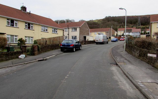
Heol-y-Mynydd, Aberdare
Viewed from the northern end of the long dead-end road.
 Map © Crown Copyright")
TIP: Click the map for more Large scale mapping
- Grid Square
- SN9902, 120 images (more nearby 🔍)
- Photographer
- Jaggery (more nearby)
- Date Taken
- Thursday, 5 February, 2015 (more nearby)
- Submitted
- Sunday, 8 February, 2015
- Subject Location
-
OSGB36:
 SN 9975 0218 [10m precision]
WGS84: 51:42.5621N 3:27.1386W - Camera Location
-
OSGB36: SN 9976 0222
- View Direction
- South-southwest (about 202 degrees)