2016
NT9105 : Barrow Burn Wood Nature Reserve
taken 8 years ago, near to Alwinton, Northumberland, England
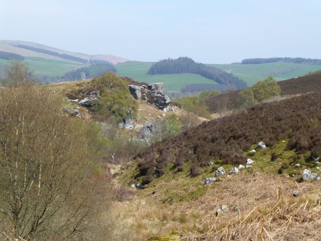
Barrow Burn Wood Nature Reserve
On northern slopes of The Swire.
 Map © Crown Copyright")
TIP: Click the map for more Large scale mapping
- Grid Square
- NT9105, 17 images (more nearby 🔍)
- Photographer
- Russel Wills (more nearby)
- Date Taken
- Tuesday, 10 May, 2016 (more nearby)
- Submitted
- Wednesday, 11 May, 2016
- Subject Location
-
OSGB36:
 NT 9142 0588 [10m precision]
WGS84: 55:20.8123N 2:8.2106W - Camera Location
-
OSGB36: NT 91273 05741
- View Direction
- Northeast (about 45 degrees)