SO0158 : Newbridge-on-Wye
taken 8 years ago, near to Newbridge-on-Wye, Powys, Wales
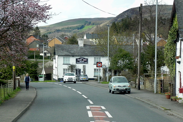
The A470, also known as the Cardiff to Glan Conwy Trunk Road, is the major long-distance road in Wales, from Cardiff on the south coast to Llandudno on the north coast. It is 185 miles long, and has undergone considerable road improvement in the last two decades. While previously one had to navigate the narrow roads of Llanidloes and Dolgellau, both these market towns are now bypassed due to extensive road modernisation.
The road travels through two of Wales's national parks, the Brecon Beacons in the South and Snowdonia National Park, starting just south of Dinas Mawddwy in the North. It is a primary trunk route throughout its length, and the southernmost 26 miles, from Cardiff Bay to Merthyr Tydfil, is mainly direct and good quality dual carriageway, but most of the route from north of Merthyr to Llandudno is single carriageway.
LinkSABRE
 Map © Crown Copyright")
- Grid Square
- SO0158, 92 images (more nearby 🔍)
- Photographer
- David Dixon (more nearby)
- Date Taken
- Thursday, 14 April, 2016 (more nearby)
- Submitted
- Friday, 31 March, 2017
- Subject Location
-
OSGB36:
 SO 016 582 [100m precision]
WGS84: 52:12.8030N 3:26.4795W - Camera Location
-
OSGB36: SO 016 581
- View Direction
- North-northwest (about 337 degrees)