2017
NM9228 : Fields near Glenmachrie
taken 7 years ago, near to An Dùn (fort) [antiquity (non-Roman)], Argyll And Bute, Great Britain
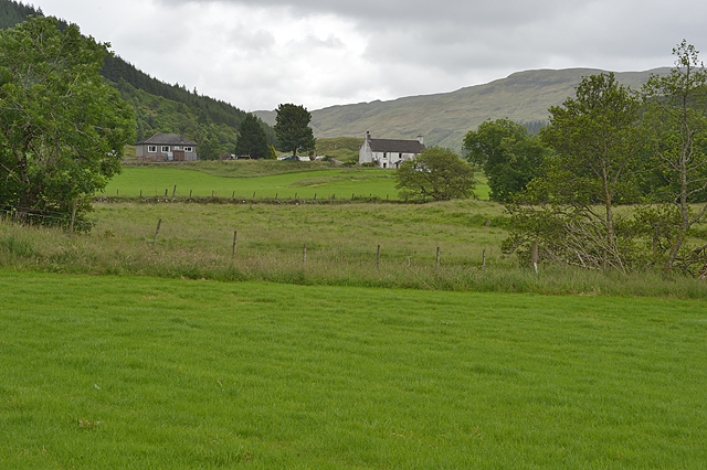
Fields near Glenmachrie
 Map © Crown Copyright")
TIP: Click the map for more Large scale mapping
- Grid Square
- NM9228, 17 images (more nearby 🔍)
- Photographer
- Nigel Brown (more nearby)
- Date Taken
- Saturday, 24 June, 2017 (more nearby)
- Submitted
- Wednesday, 12 July, 2017
- Subject Location
-
OSGB36:
 NM 9224 2861 [10m precision]
WGS84: 56:24.2341N 5:22.1190W - Camera Location
-
OSGB36: NM 9207 2868
- View Direction
- East-southeast (about 112 degrees)