Libya Map stock illustrations
Browse 2,800+ libya map stock illustrations and vector graphics available royalty-free, or search for sudan map to find more great stock images and vector art.
Most popular
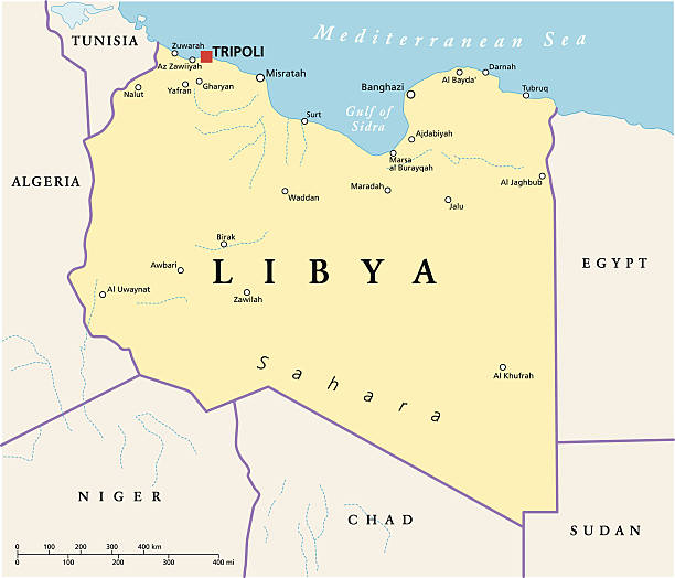
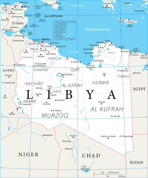
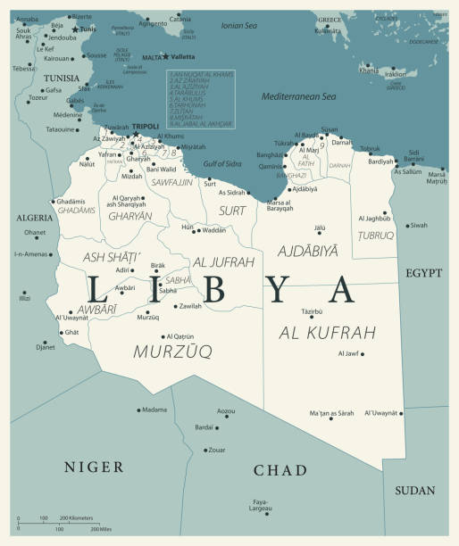
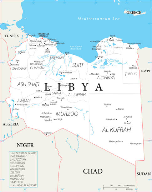
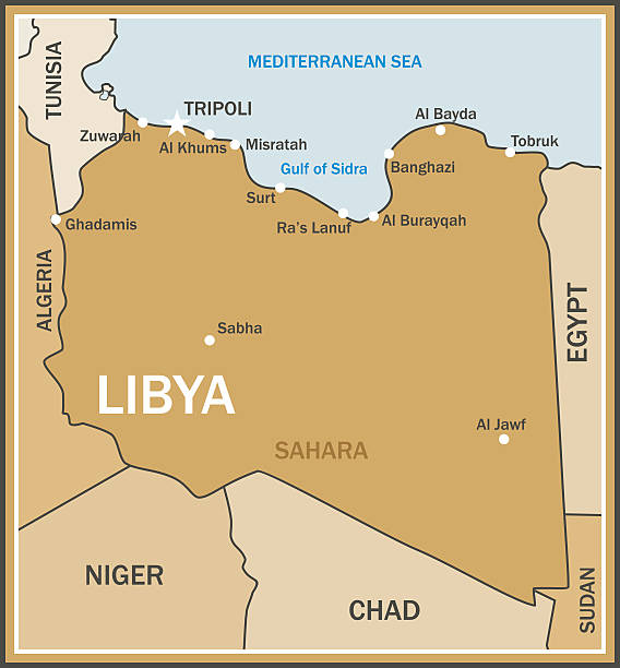
Political map of Libya with capital Tripoli, with national borders and most important cities. Illustration with English labeling and scaling.
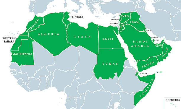
Arab World political map, also called Arab nation, consists of twenty-two arabic-speaking countries of the Arab League. All nations in green color, plus Western Sahara and Palestine. English labeling.
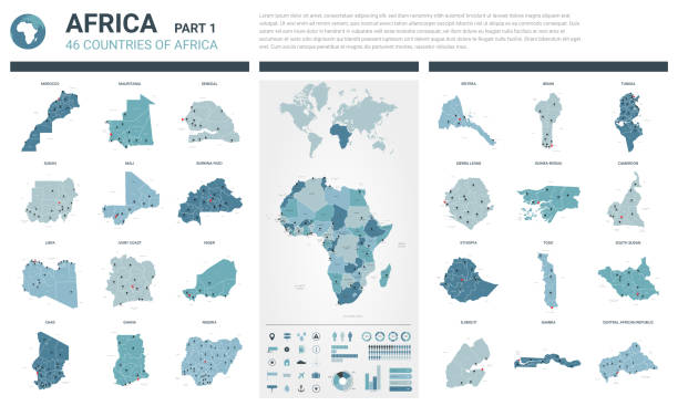
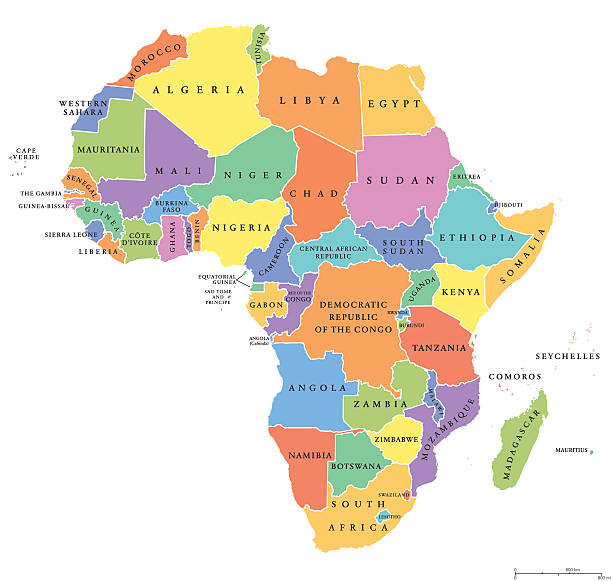
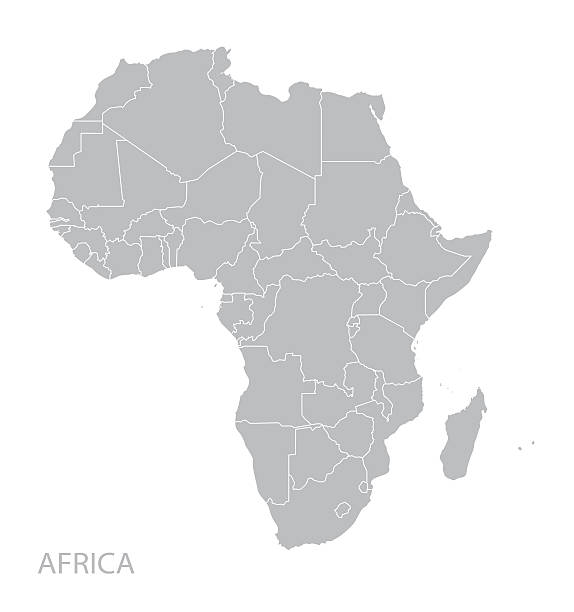
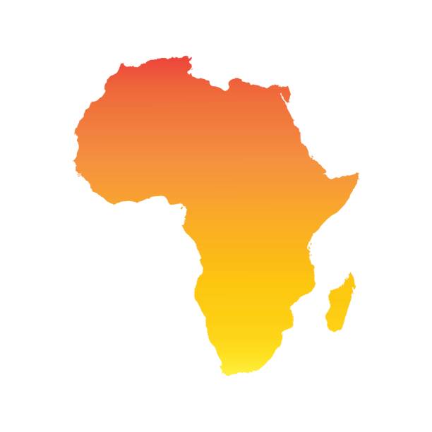
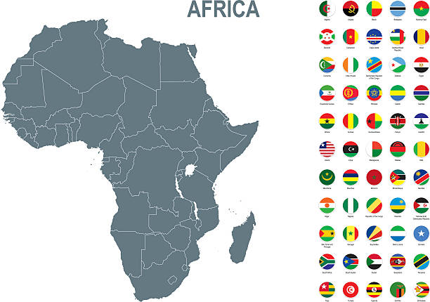
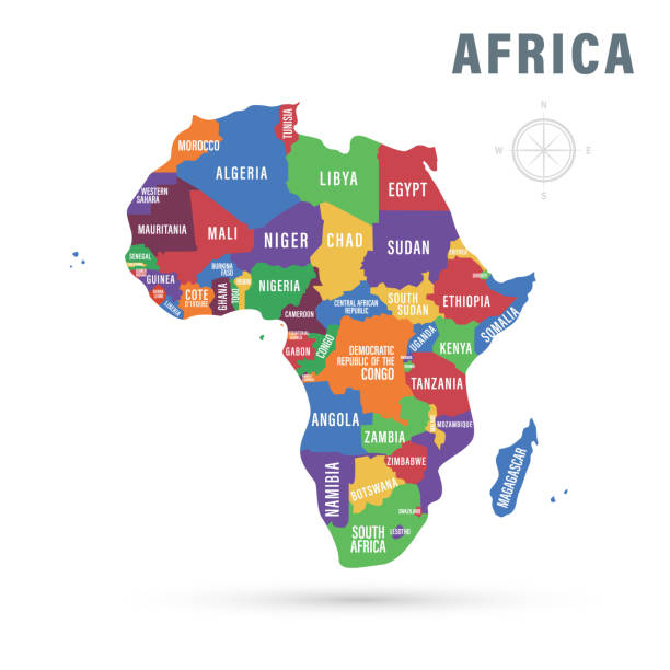
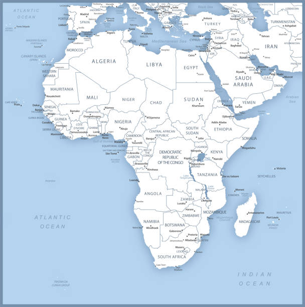
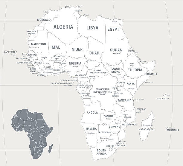
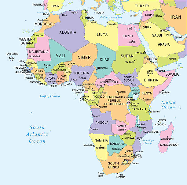
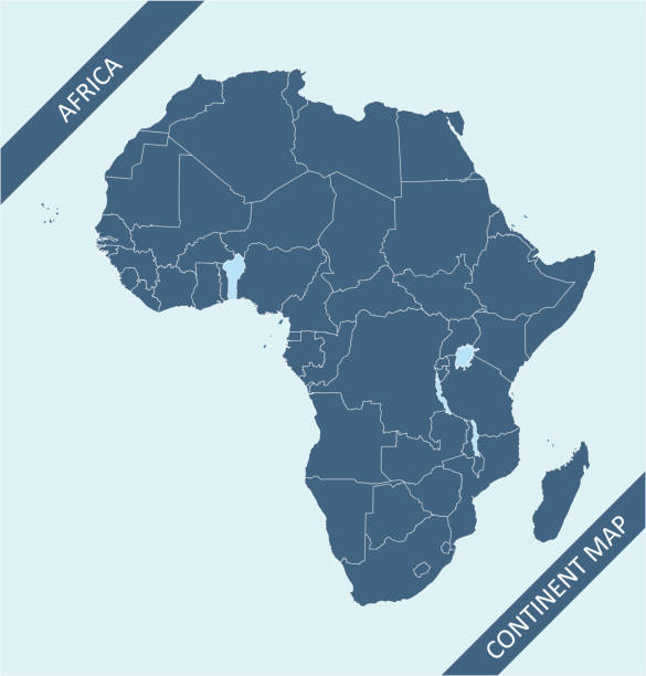
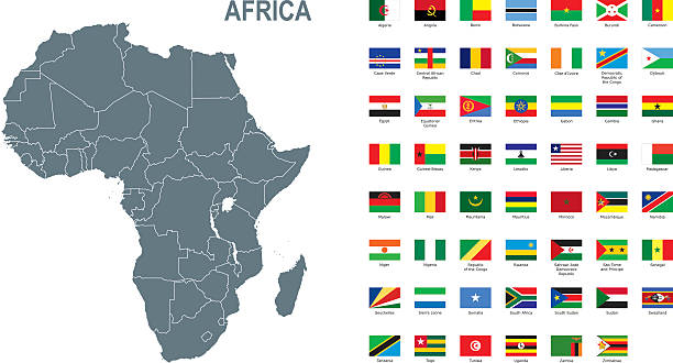
Africa single states political map. Each country with its own color area. With national borders on white background. Continent including Madagascar and island nations. English labeling.
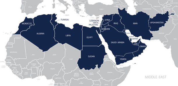
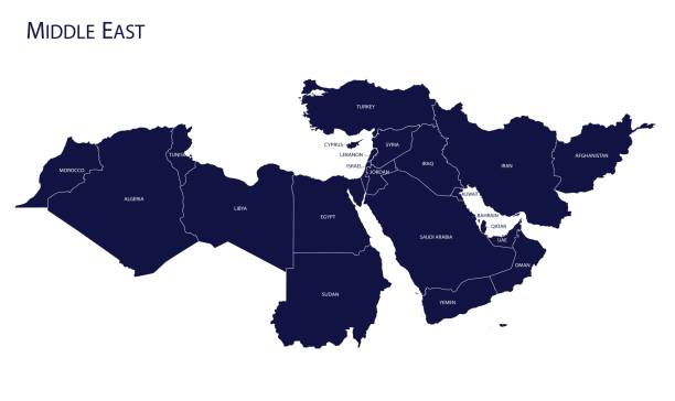
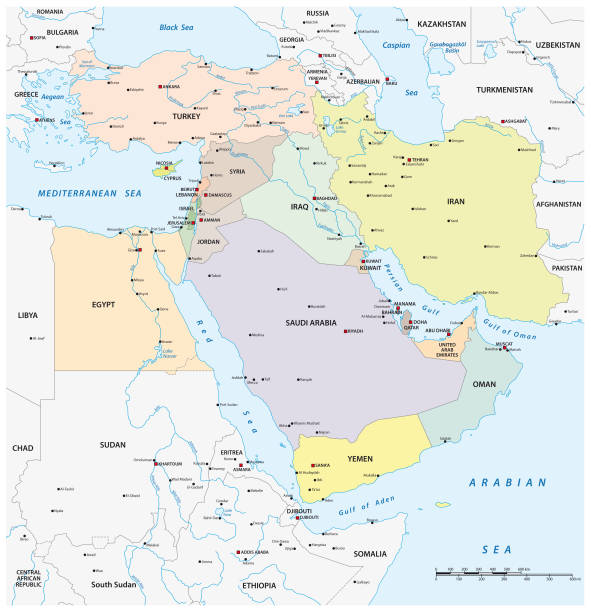
Map of Middle East. Member states are as follows;
High quality map with borders of the regions
vector illustration of Libya map
Libya map and flag - High Detailed Vector Illustration
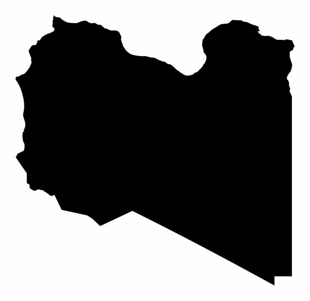
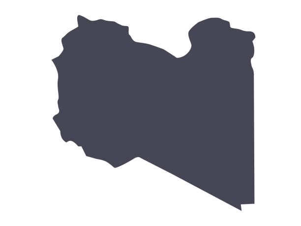
Libya dark silhouette map isolated on white background
Map of Libya - Vector illustration
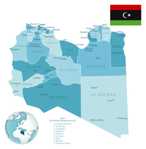
Libya administrative blue-green map with country flag and location on a globe. Vector illustration

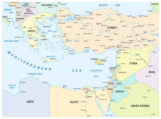
Northern Africa, subregion, political map with single countries and international borders. Group of Mediterranean countries on the African continent geoscheme. Illustration on white background. Vector
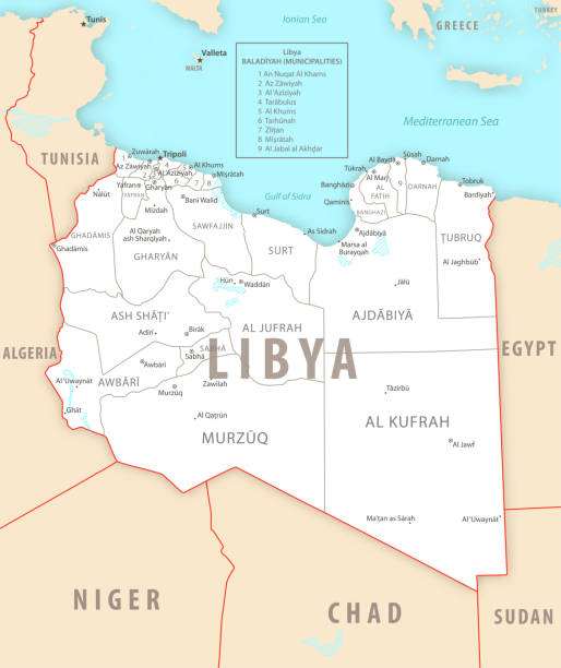
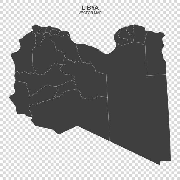
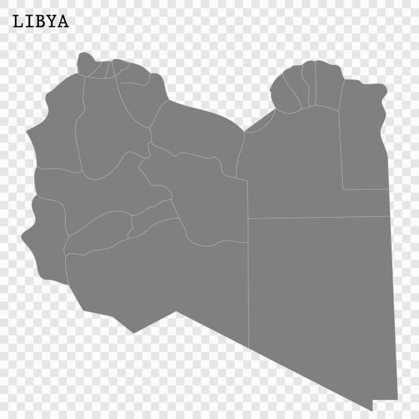
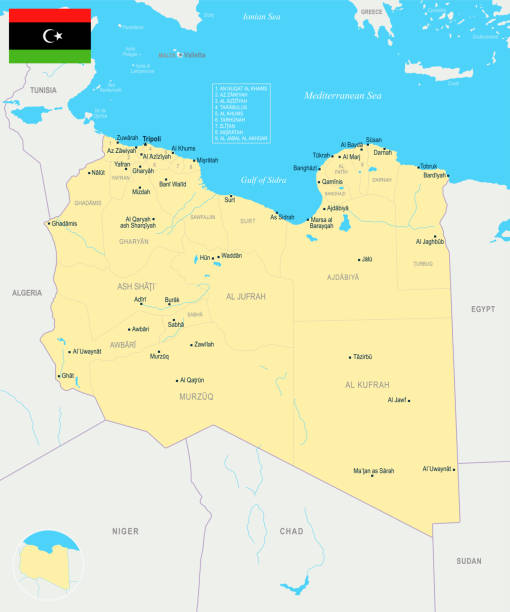
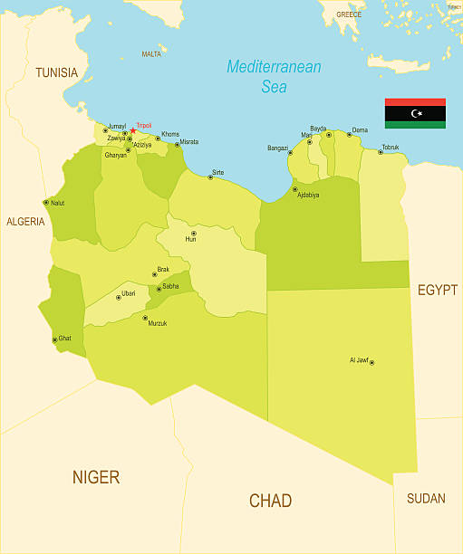
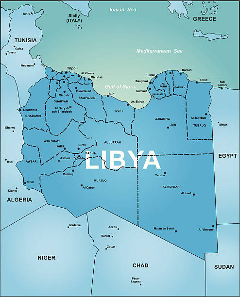
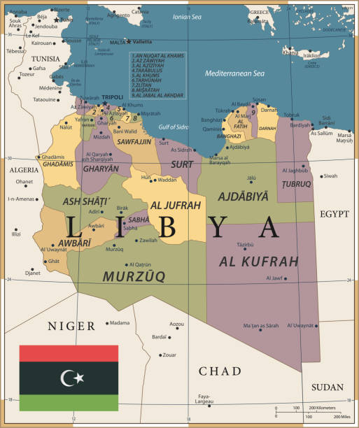
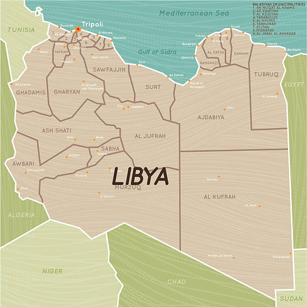
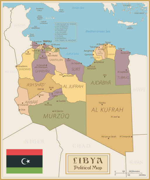
Libya detailed map with regions and cities of the country. Vector illustration
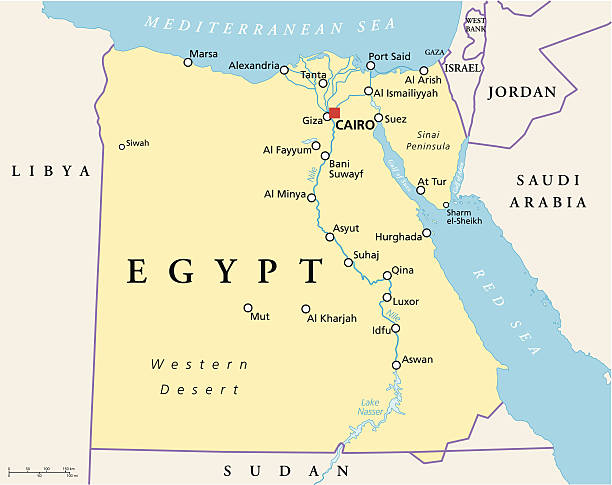
Political map of Egypt with capital Cairo, national borders, most important cities, rivers and lakes. Vector illustration with English labeling and scaling.
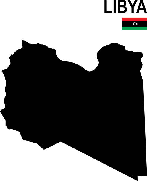
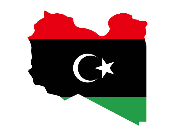
Black basic map of Libya with flag against white background The url of the reference to political map is: http://legacy.lib.utexas.edu/maps/africa/libya_pol93.jpg Layers of data used: flag, map
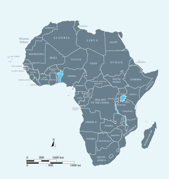
Africa map. vector
http://dikobraz.org/map_2.jpg

vector map of Libya and the bordering countries
vector illustration of Libya map with flag
Map of Libya - Vintage Vector illustration
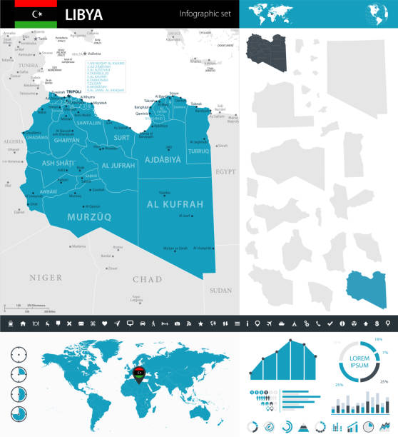
Blue map of Libya administrative divisions with travel infographic icons. Vector illustration
Map of Libya - Vintage Vector illustration
Map of Libya - Infographic Vector illustration
Map of Middle East. Vector
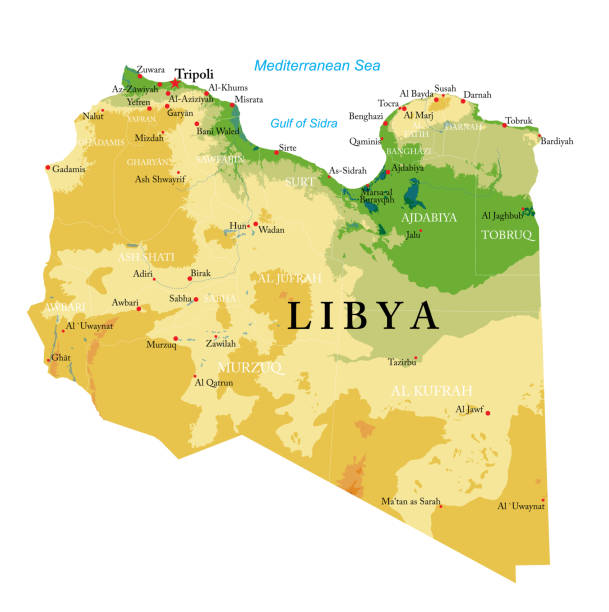
Highly detailed physical map of Libya in vector format,with all the relief forms,regions and big cities.
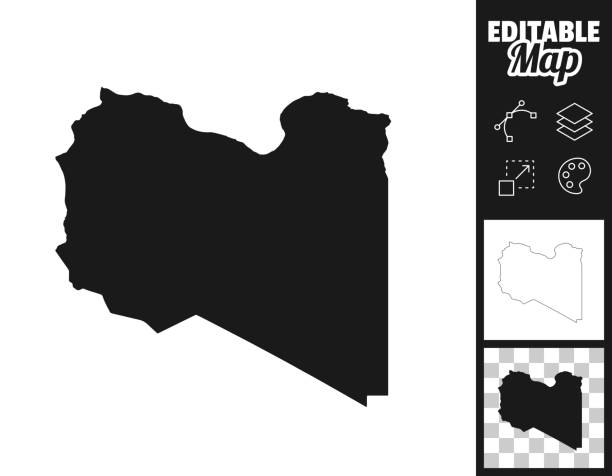
Map of Libya for your own design. Three maps with editable stroke included in the bundle: - One black map on a white background. - One line map with only a thin black outline in a line art style (you can adjust the stroke weight as you want). - One map on a blank transparent background (for change background or texture). The layers are named to facilitate your customization. Vector Illustration (EPS file, well layered and grouped). Easy to edit, manipulate, resize or colorize. Vector and Jpeg file of different sizes.
http://dikobraz.org/map_2.jpg
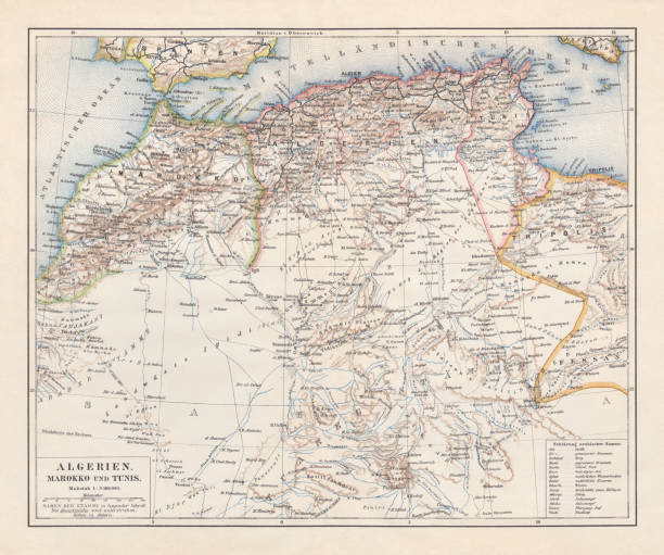
Topographic map of Algeria, Morocco and Tunisia with the borders at the end of the 19th century. Lithograph, published in 1897.
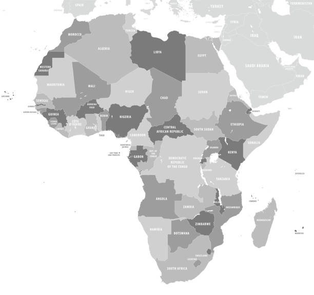
Vector illustration. Africa political map with country names.
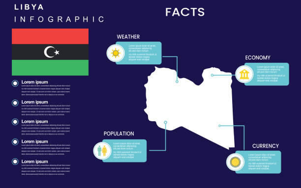
Facts about libya country with weather, economy, population, currency. Flat map infographic template. vector illustration.
Map of African Continent with names of countries, capitals and cities. Vector illustration
Vector illustration of map of Libya.
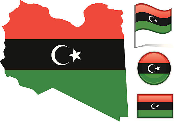
Detailed vector illustration of the Libya map with the national flag on it.

3D map of Libya isolated on a blank and gray background, with a dropshadow. Vector Illustration (EPS10, well layered and grouped). Easy to edit, manipulate, resize or colorize.
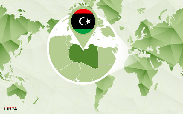
America centric world map with magnified Libya map. Green polygonal world map.
Map of Africa with labeled countries and capital cities. All elements grouped in their own layers, labeled and alphabetized for easy editing. (See screenshot.) EPS 10 file. Transparency effects used longitude and latitude lines.
This vector map of Africa continent is accurately prepared by a GIS and remote sensing expert with highly detailed information.
Map of Libya - Vector illustration
Colored Map of Africa with Country Names and Capital Cities

Vector illustration in HD very easy to make edits.
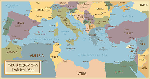
Vector illustration of old Mediterranean map
Africa map vector outline illustration with countries borders in blue background. Highly detailed accurate map of African continent prepared by a map expert.
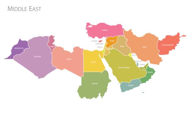
Map of Middle East. Vector
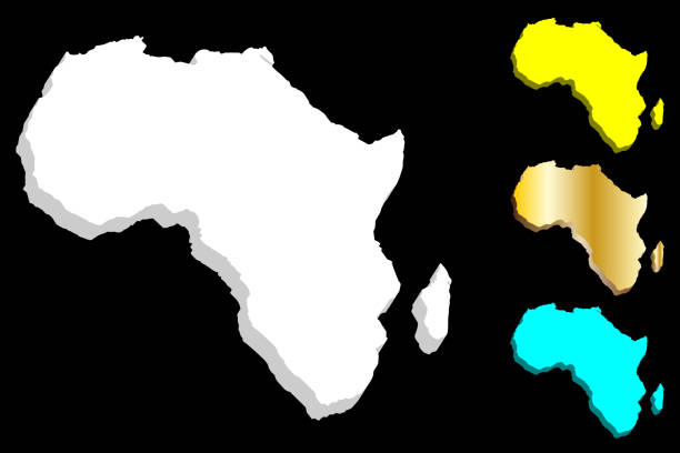
3D map of Africa continent - white, gold, blue and yellow - vector illustration
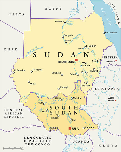
Political map of Sudan and South Sudan with capitals Khartoum and Juba, with national borders, most important cities, rivers and lakes. Vector illustration with English labeling and scaling.

Map of Libya from Polygonal wire frame low poly mesh, contours network line, luminous space stars, design sphere, dot and structure. Vector Illustration EPS10.
Hand Traced of Libya
Map of Libya - Vintage Vector illustration
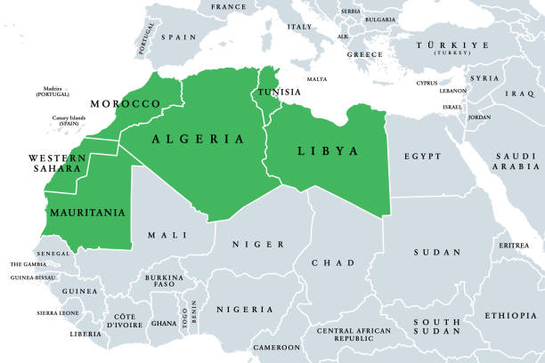
Maghreb, Arab Maghreb or also Northwest Africa, political map. Part of the Arab World, comprising Algeria, Libya, Morocco, Mauritania, Tunisia, Western Sahara and the Spanish cities Ceuta and Melilla.
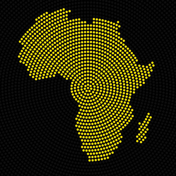
Africa, Planet Earth, Continent, Abstract, Radial, Map, Circle, Country, Colorful
http://dikobraz.org/map_2.jpg
Libya Map Sketch Vector Stock Illustration Design Template. Vector eps 10.