Pristine Seas Expedition

Tongareva

At Sea: June – July 2023

The Place

Tongareva Atoll (also called Tongareva, Māngarongaro, Hararanga, and Te Pitaka), is located in the northern group of the Cook Islands and north-east of the capital island of Rarotonga in the Pacific.

A remote atoll, its nearest neighbors are Rakahanga and Mainihiki to the southwest. Tongareva is a circular coral atoll enclosing a lagoon. The atoll rim consists of 18 major islets and the total land area is 9.84 square kilometers (3.80 sq mi).

The Mission

The expedition’s main objective was to support Pristine Seas’ local partners to help fill knowledge and research gaps, and provide the resulting information to Tongareva. The Pristine Seas media team produced a National Geographic documentary to showcase the local marine biodiversity, the importance of the community-ocean cooperation for the wellbeing of local communities, and inspire marine protection. Pristine Seas, Sharks Pacific, Marine Resources and the National Environment Service partnered with the local community of Tongareva to get young people involved through citizen science in a community “BioBlitz” and classroom activities — including a school research day.

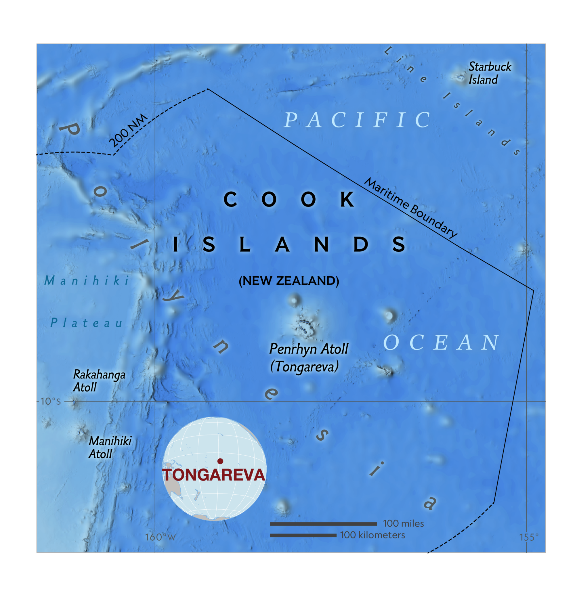
The scientific research, led by Explorer Jess Cramp and her Cook Islands-based research team at Sharks Pacific, focused on answering questions about human-wildlife coexistence in Tongareva. Specifically, how can the atoll, which is inhabited, harbor an apparently healthy marine ecosystem? What are the reasons Tongareva Atoll has such a high density of sharks? Sharks Pacific is a not-for-profit whose mission is to understand the importance of sharks in Pacific communities, and to advocate for the conservation and responsible management of sharks and the related marine environment through research, outreach, and advocacy.

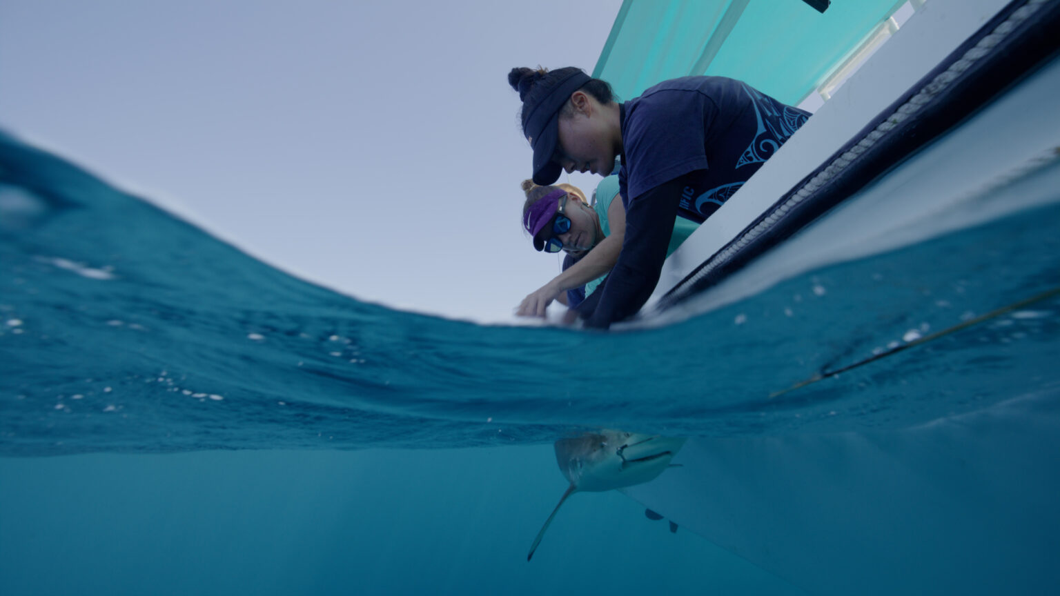
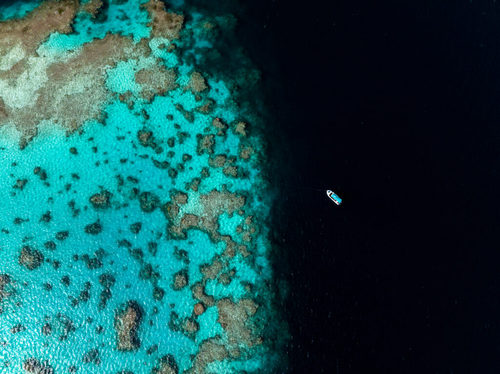
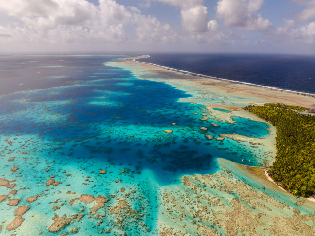
Across the 15 working days around Tongareva, the collaborative team conducted a series of surveys including the satellite tagging of 9 sharks (Silky and Oceanic Whitetip Sharks); diving and reef walking at 22 benthic survey sites; the deployment of 150 Baited Remote Underwater Video Systems (BRUVS) at 5-80 meters depth; eDNA, vertical transects, and three community presentations. The team also deployed the DeepSee submersible down to 400 meters depth, visiting the little-explored seamounts surrounding the island and an under-researched 90-meter-deep lagoon.

Photo credits: Darryl MacDonald, Martin Gamache (map), Tess Goldhagen, Darryl MacDonald (2)

Get updates about our critical work to explore and protect our planet.

GIVE TODAY!

The National Geographic Society is celebrating Earth Month. This month only, you can make TWICE the impact to protect Earth’s oceans and natural wonders. Donate to the National Geographic Society to invest in Explorer-led projects and mission programs and help us make remarkable discoveries about the ocean’s intelligent marine life.

National Geographic Explorers are counting on you. Please make your gift today!