
Mt. Arayat Is a Pain in the Ascent
/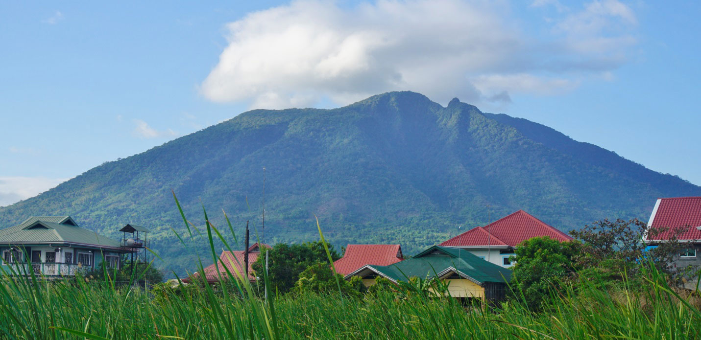
Mount Arayat rises 1,000 meters north of barangay Sta. Ana, Mexico, Pampanga (Photo by Q Ramos)
On Friday, the 23rd last January, having dealt with the legendary Apo Namalyari of Mt. Pinatubo the previous month, the intrepid duos, Sonny and the Mensch, their adoptive son Q (as in Francis Milford Q. Ramos) and his exceptional bride, Brenda, tackled the dormant volcano, mythic abode of the diyosa Maria Sinukuan. In comparing magnitude of exertion required, definitely goddesses rule.

The switchback road-in-progress to the trailhead begins at the Park Ranger Station (Photo by Q Ramos)
The Travel and Leisure magazine website claims there are “clearly marked trails,” but if you are expecting signposts and paved pathways, you are clearly in the wrong park.
The early morning mist is just beginning to rise as we set off on the trek. The early stages of the walk is fairly easy, as you scale a semi-staircase etched out of the mountainside by the municipal government.
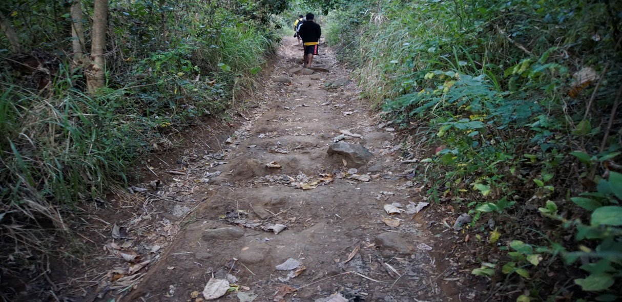
Starting out, up the half-done steps (Photo by Q Ramos)
Lush greenery surrounds you as you feast your eyes on the Pampanga River undulating through the rice fields below. The urban haze is barely perceptible, the air is clean and there are wild orchids nestling in the treetops.
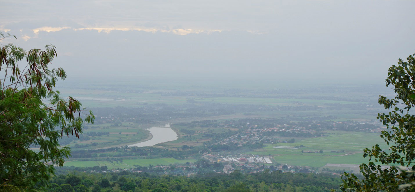
Sunrise on the Central Plain (Photo by Q Ramos)
From here on, the going gets rough. The trail follows a parched and weathered dry gully. We make our way up (what feels like) a 45-degree incline, going up, around, and over massive boulders strewn helter skelter.

The ordeal begins (Photo by Q Ramos)
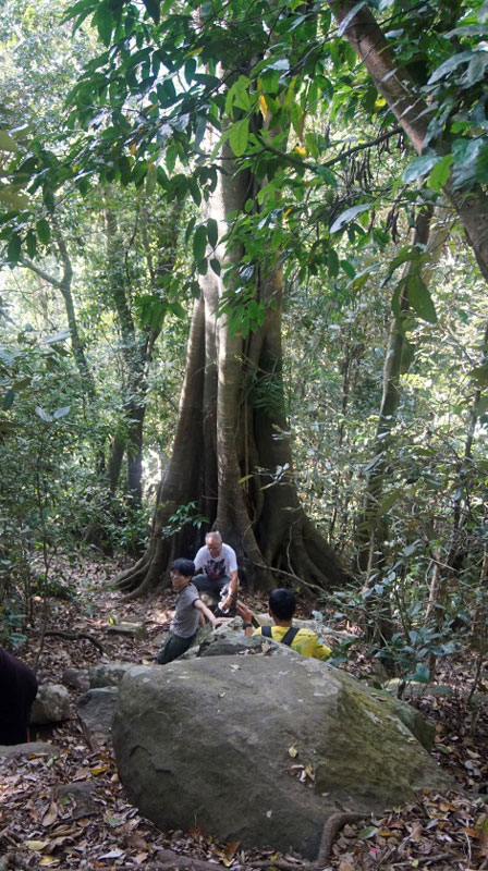
The rest of the morning, we focus on the next step, concentrate on the next foothold and keep our balance by clinging to vines, tree trunks, canes. A huge banyan tree makes for a convenient rest stop. A prior hiker has tacked a prophetic sign.
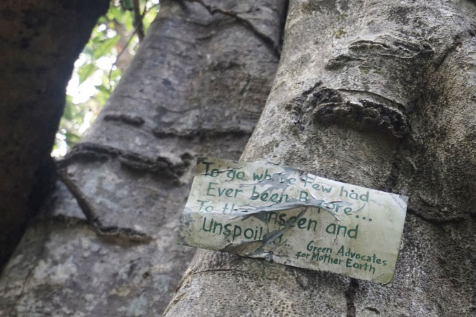
Sarcasm, perhaps? (Photo by Q Ramos)
Pahinga muna tayo! (Photo by Q Ramos)
We get to a spot aptly named “Puting Bato” (White Rock), which is perched on a ledge that is reached by crawling on your knees and grabbing the cliff walls and NOT looking down (you risk vertigo from the altitude). You are rewarded with an awesome spectacle beneath you as the river now stretches even further, bloated in spots, constricted in others, punctuated by the occasional little isle.

Puting Bato panorama (Photo by Q Ramos)

.. and another well-situated Senior Rest Area (Photo by Q Ramos)
The sun is now directly overhead, and you are thankful for the shade the foliage provides as you wend you way higher up the mountain. By the time you reach the top, you will have climbed the equivalent of one-and-a half-Burj Khalifas, or Taipei 101’s (without the elevators!).
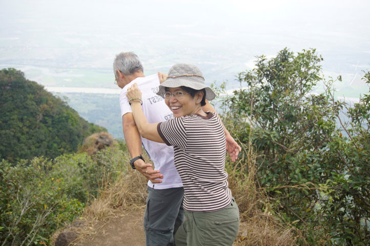
We conquer the southern summit of the mountain, https://en.wikipedia.org/wiki/Mount_Arayat arriving at the top just in time to savor our Chowking siopao baon. Never has a round mound of meat wrapped in sweet dough been more appreciated than at the moment we crested the hill. The view is even more magnificent--Tarlac to the north, Zambales to the west, the Sierra Madre range of Bulacan to the east.

Landscape at the peak, looking west towards Bulacan (Photo by Q Ramos)
No horseplay allowed! (Photo by Q Ramos)
We reach the lower boundary of the National Park around two in the afternoon. http://parks-philippines.blogspot.com/2011/05/mt-arayat-national-park-in-pampanga_18.html . This section of the Park is well developed. A mountain spring has been diverted, creating an artificial waterfall, leading to several fresh water swimming pools that are refreshingly clean and cool.
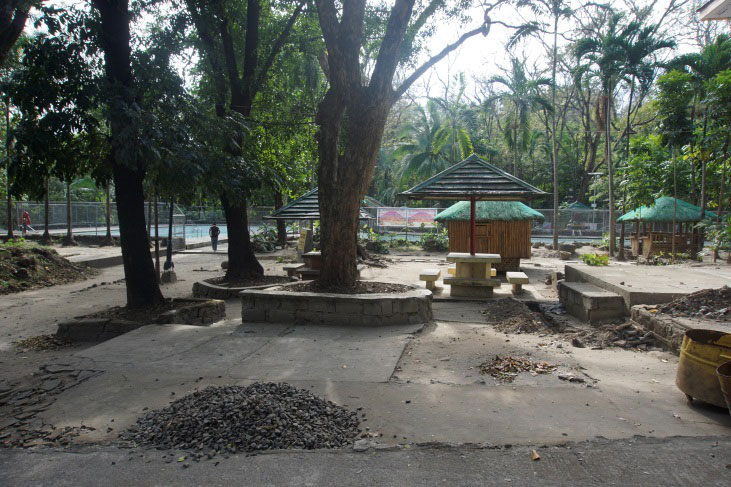
Civilization! (Photo by Q Ramos)

Sonny's reward (Photo by Q Ramos)
So, if you are in the mood to get out of the city but not too far from it, this nearby natural playground maybe just the ticket. Imagine the bragging rights you’ll own when you accomplish this feat.
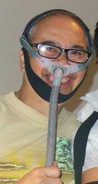
Sonny Siasoco
Sonny Siasoco is a recently retired anesthesiologist (on CPAP), with a passion for travel. According to their guide, he was the oldest person he had led up the mountain.
More from Sonny Siasoco