Budleigh Salterton and West Down Beacon Circular Walk

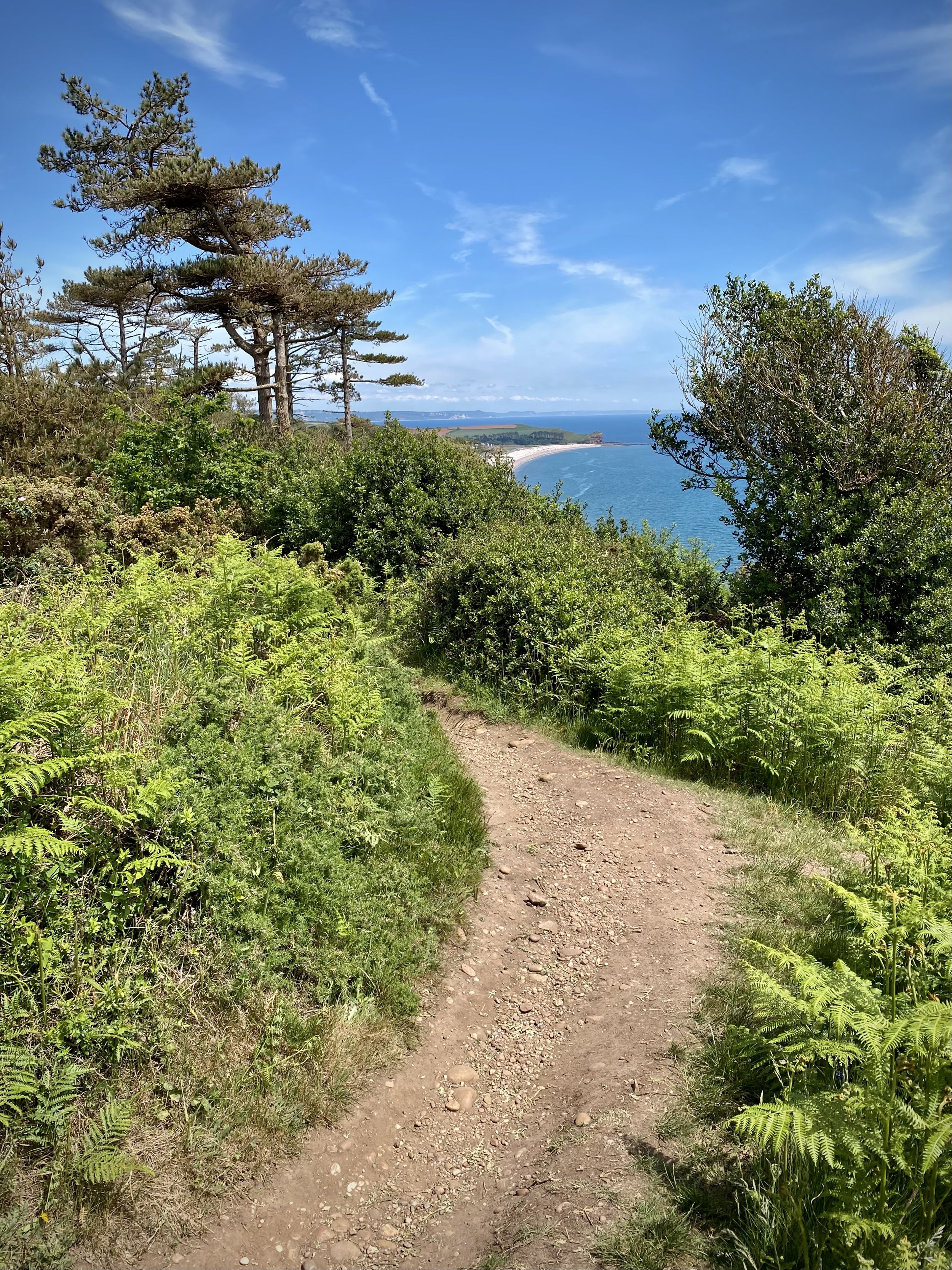
View to High Peak, Ladram Bay and Budleigh Salterton from West Down Beacon
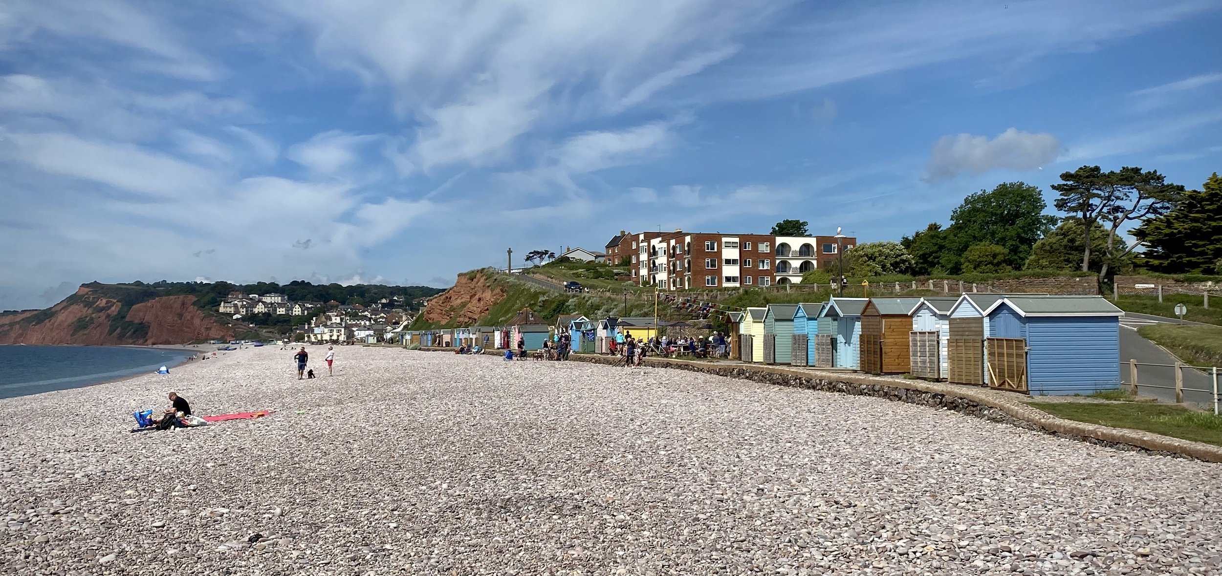
Start & Finish: Lime Kiln Car Park, 1 Granary Lane, Budleigh Salterton, EX9 6JD
Distance: 6.4 km (4 miles)
Elevation change: +/- 117m
GPX File: get via Buy Me a Coffee
Other routes touched (walk): English Coastal Path, Otter Valley Walk,
Other routes touched (cycle): None
Pubs / Cafes on route: Lots in Budleigh Salterton town centre
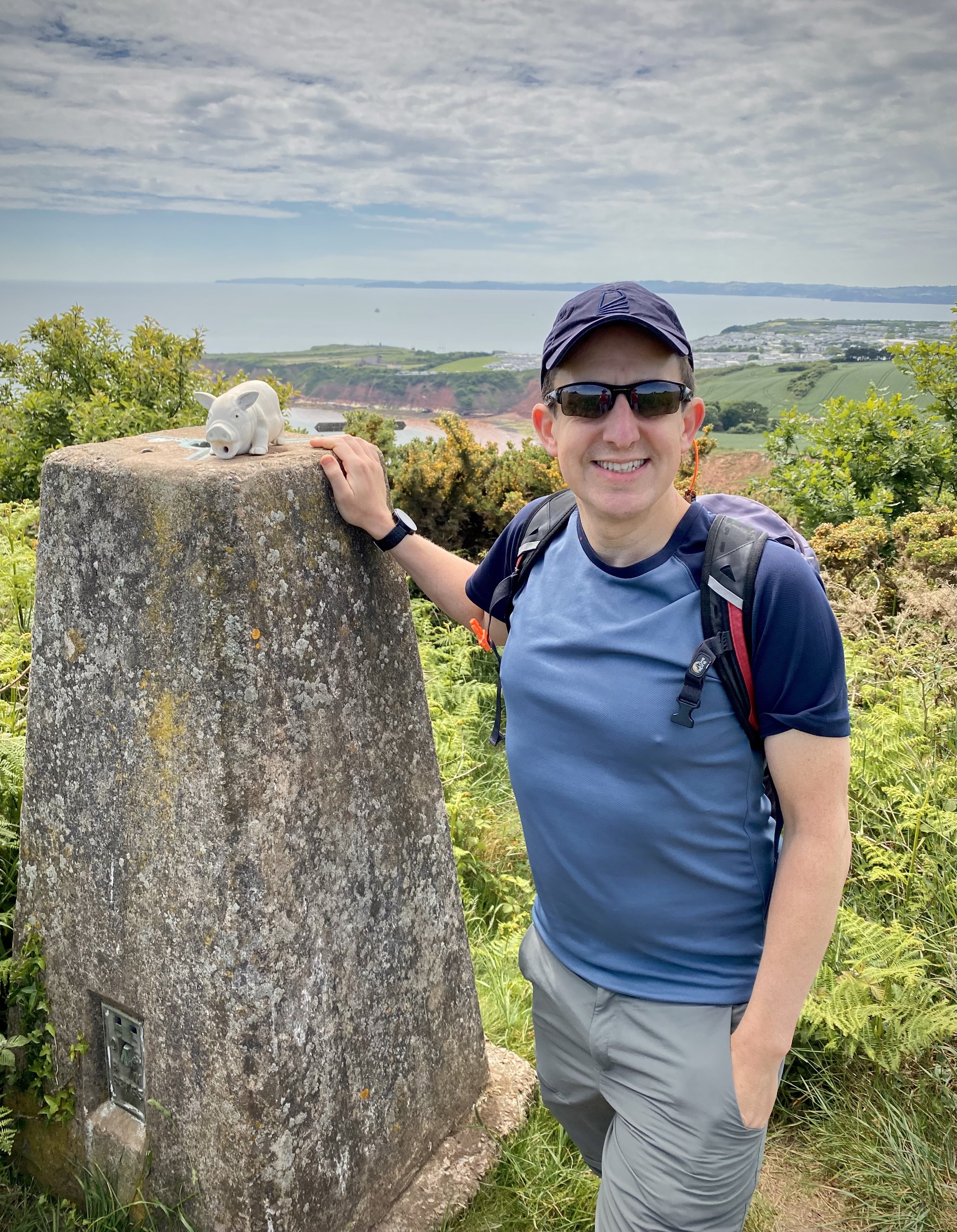
OS Trig Pillar: TP6804 - West Down Beacon
Map: Exmouth & Sidmouth Map | Honiton | Ordnance Survey | OS Explorer Map 115
Links: Budleigh Salterton, East Devon AONB, Dorset and East Devon Coast UNESCO
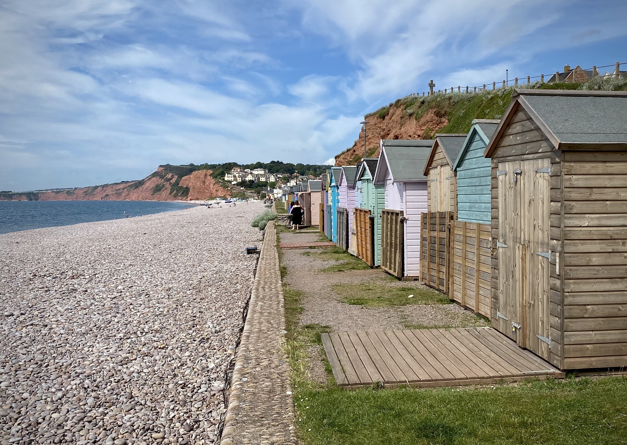
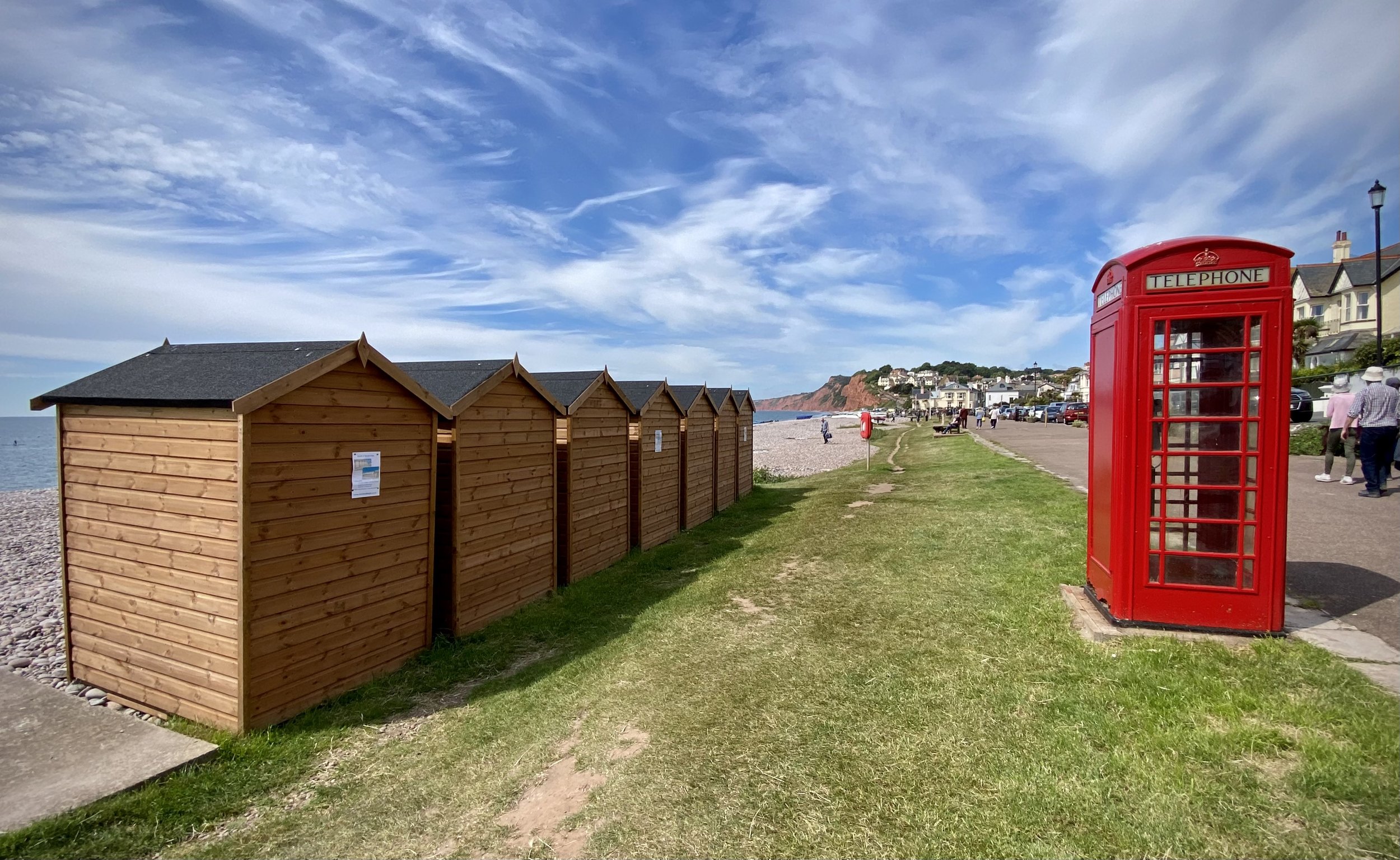
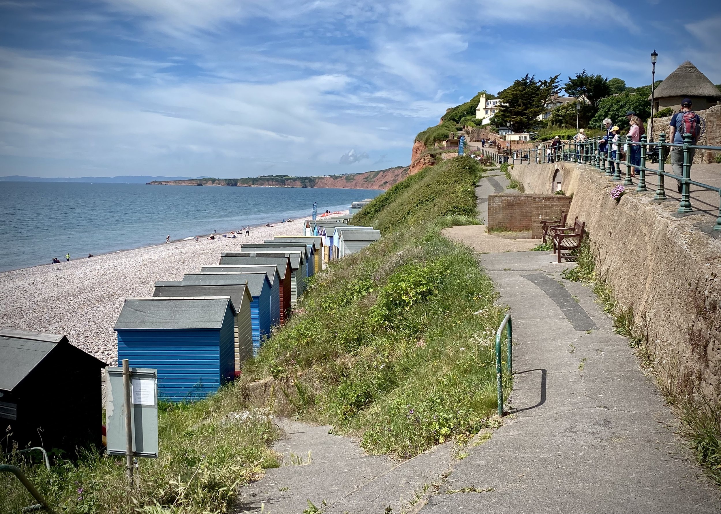
This is a stunning short walk along the coastal path past Budleigh Salterton up to the West Down Beacon Trig Pillar. Start from the town’s main car park next to the beach on Granary Lane and follow the coastal path in a westerly direction. After 1km the path will climb steeply up to the top of the cliffs. Continue until approximately 3km from the car park where you’ll meet a footpath finger sign pointing to Knowle (1m). You’re now at the top of the hill where you’ll find the OS Trig Pillar in a small clearing just in from the sign. Here you get great views along the cost in both directions. To the west is Exmouth and the river Exe that leads inland to Exeter.
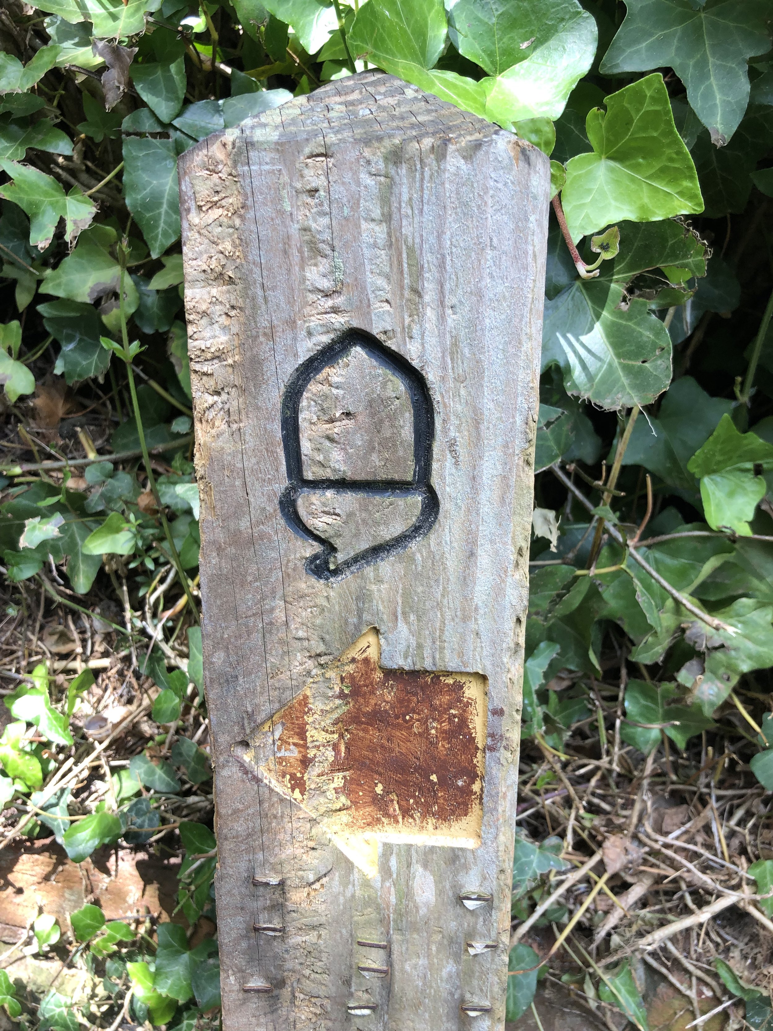
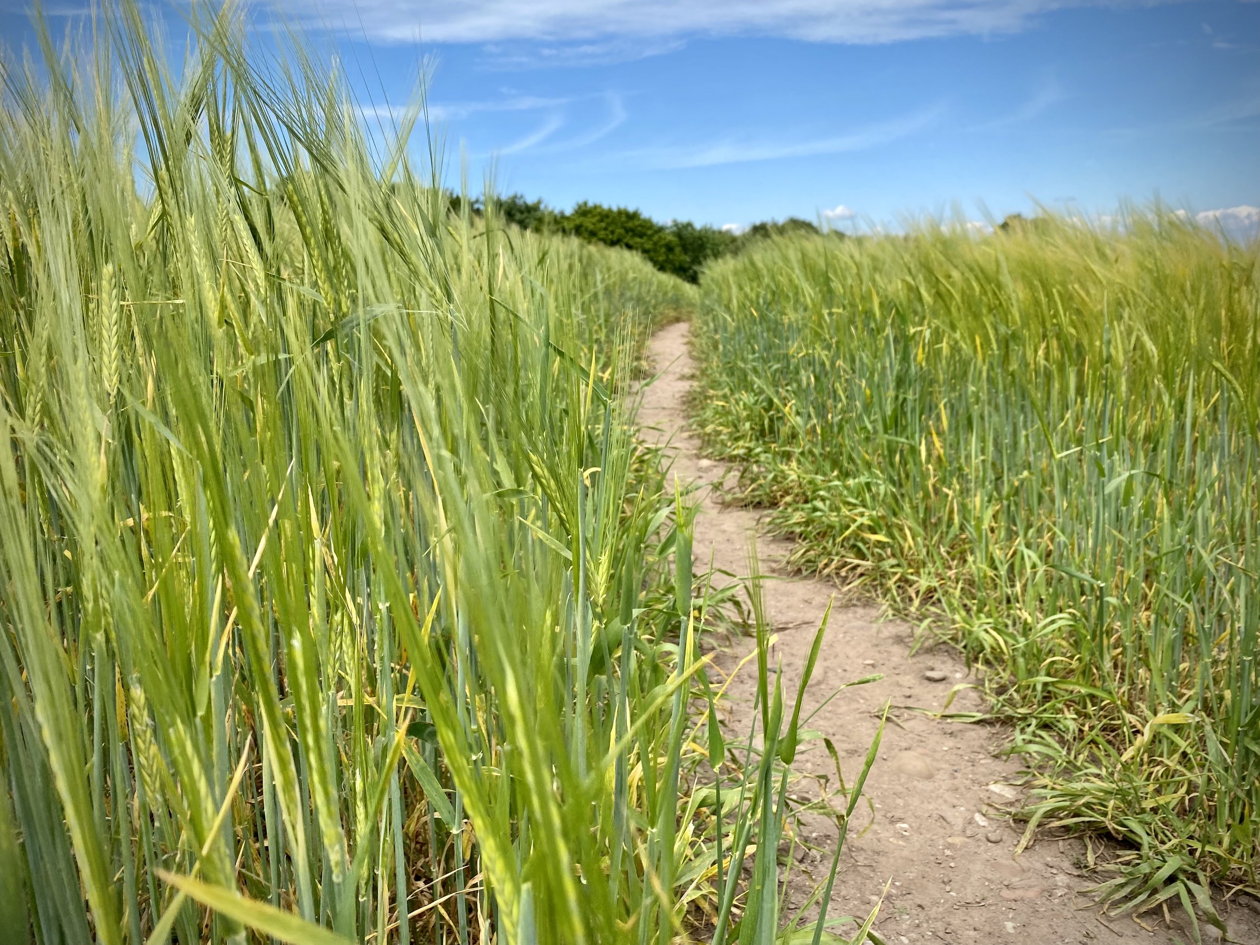
Leave the coastal path and follow the footpath through the golf course to Knowle for ~1km until you reach Littleham Church Path. Take a right onto this path and follow it down to Exmouth Road. Take a right onto Exmouth Road and follow it in an easterly direction as it becomes West Hill and Budleigh Salterton High Street. Here you’ll find a lot of cafes and restaurants for a rest before completing the walk back at Lime Kiln Car Park.