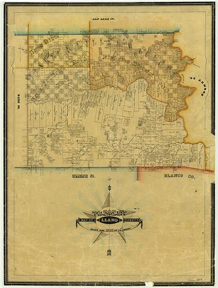
Llano County, in Central Texas, is bounded on the north by San Saba County, on the east by Burnet County, on the south by Gillespie County, and on the west by Mason County. Llano, the county seat, is seventy-two miles northwest of Austin and near the center point of the county, which lies at approximately 98'40° west longitude and 30'45° north latitude. Llano County comprises 941 square miles of the Hill Country on the eastern part of the Edwards Plateau. Altitudes range from 800 to 2,000 feet above sea level. The county drains into the Colorado River, either through the Llano River (from which the county gets its name), which runs from west to east through the center of the county, or through Sandy Creek, which flows across the southern part of the county. Ashe juniper trees grow on the hills, and mesquites, live oaks, post oaks, pecans, and elms grow in most of the county. The soil is sandy to sandy loam, although there are granite outcroppings throughout much of the county, including Enchanted Rock. Granite quarries and finishing sheds operate in the county, and talc, vermiculite, and feldspar have also been produced. Temperatures range from an average high of 98° F in July to an average low of 34° in January, rainfall averages 26.20 inches a year, and the growing season lasts 229 days.
Tonkawa Indians occupied Central Texas at the time the future Llano County was first explored, but it is uncertain how long they had lived there. The Tonkawas hunted and gathered along streams and did not farm. They were not warlike, however, and they apparently invited the Spaniards to establish missions that would help them against the fierce Comanches. The Comanches came into the Tonkawa area in the eighteenth century and eventually claimed territory as far southeast as San Antonio and Austin. During the Republic of Texas era, conflict between Whites and Comanches in the region was marked by such battles as a fight at Enchanted Rock in 1841.
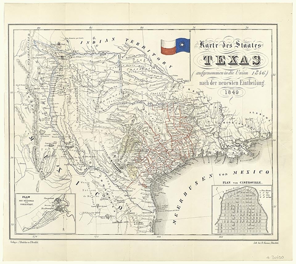
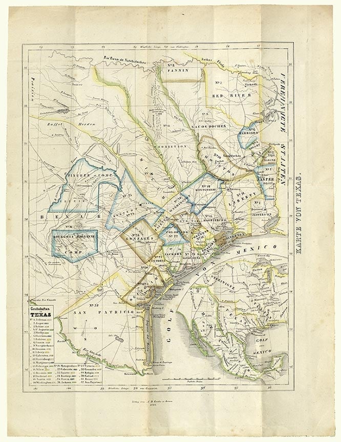
The first permanent settlers of European origin in the area were brought in by the Adelsverein. German settlers established the town of New Braunfels (now in Comal County) in 1845, and Fredericksburg (now in Gillespie County) in 1846. In 1847 John O. Meusebach, the leader of the German settlers, negotiated a treaty with the Comanches to permit Germans to live in the area of the Fisher-Miller Land Grant, which included what is now Llano County. After Meusebach's treaty, five settlements were established on or near the Llano River in what later became the western part of the county, but the town of Castell was the only one of these to survive. The settlement farthest downstream was Bettina, a communal colony established by the "Society of Forty," a group of young men from German universities. Settlers began to move into the eastern part of the county shortly thereafter, the first ones settling at Tow Valley and Bluffton on the Colorado River in 1852. A saltworks between the two places operated until after the Civil War, and there was also a sawmill in the area. Small farms were established, and by 1853 settlement had begun in the northwestern part of the county. Soon two settlements, Whistleville and Bugscuffle, combined to form Valley Spring. A German Methodist church was established in Castell in 1856 by Dietrich J. G. Rode; during weekdays the building served as a school.
Llano County was organized in 1856 after the Texas legislature formed the county from the Bexar District and Gillespie County. Donations of 250 acres were made for a site for the county seat. By 1858 the population exceeded 1,000, and cattle, hides, and pecans were being exported. Farming was the chief occupation in the north and ranching in the south. Germans predominated in the western parts and Anglo-Americans in the other areas. By 1860 the county had eighty-nine farms, encompassing 59,744 acres. The agricultural census that year reported 21,344 cattle and 1,492 sheep in Llano County, and the corn harvest exceeded 23,500 bushels. The United States census found 1,101 people living in the county that year; of these, 21 were slaveholders and 54 were slaves.
When the Civil War came, several companies were organized in the area, known as the Third Frontier District. A company of 100 Llano County volunteers went to Camp Terry in February 1862 and later joined Walker's Texas Division on the Red River; they were part of the forces at Fort DeRussy when it fell. During and after the war, farmers in the county were harassed by Indians, who frequently raided for horses. In 1867 five members of the Friend family were killed, as were five members of the Whitlock family in 1870. The raids came to a stop after August 4, 1874, when a group of eight men led by Capt. James R. Moss trailed some Comanches who had been stealing horses, surprised them on Packsaddle Mountain, and defeated them.
Partly because of the dislocations that accompanied the Civil War, the county grew slowly during the 1860s. Though the number of farms and ranches had increased to ninety-five by 1870, the number of "improved" acres in the county had actually declined to 1,624. The number of cattle had declined to 18,127. Wheat was planted on about 7,700 acres that year and cotton on about 1,150. The county's development accelerated during the 1870s and 1880s, after the danger from Indian attacks had been eliminated. By 1880, 619 farms and ranches had been established in Llano County, and improved acres totaled almost 34,000. Ranching dominated the economy; 31,760 cattle and almost 14,000 sheep were counted that year. Corn culture occupied about 7,700 acres, and cotton was planted on almost 2,250. By 1890 the farms and ranches numbered 858, totaling about 342,000 acres. Almost 52,700 cattle and about 24,000 sheep were counted in Llano County that year, while about 13,000 acres was devoted to corn and almost 7,800 to cotton.
The county boomed briefly near the end of the nineteenth century, particularly after 1892, when Llano became a railhead and attempts were made to mine iron deposits in the area. In 1900 Frank Teich established the Teich Monument Works, and production of granite became a factor in the economy. Teich was a sculptor whose work may be seen in Confederate monuments in several Texas cities. Two other granite sheds were put into operation at about the same time. Sheep ranching declined during the 1890s; by 1900 there were only about 5,000 sheep in the county. Other parts of the economy continued to expand, however. By 1900 farms and ranches in Llano County numbered 858; about 17,000 acres was planted in corn, and almost 9,800 in cotton. The population had increased to 7,301 by that year.
Although the railroad had helped to stimulate the economy, the iron mining proved unprofitable, and the boom soon faded away. Llano did attract some growth as a health resort early in the twentieth century, but the county's economy declined between 1900 and 1920. The number of farms dropped to 795 by 1910 and 686 by 1920; the population also shrank during this period, to 5,360 by 1920. The decline in cotton production was part of the reason. County farmers produced 4,944 bales of cotton in 1906, for example, but only 1,918 bales in 1916. As cotton recovered somewhat during the 1920s (about 3,000 bales were produced in 1926), the county's population also increased, to reach 5,360 by 1930.
Like the rest of the Southwest, Llano County was hit hard by depression and drought during the 1930s. The agricultural economy suffered most. Cotton production almost ceased in the county during the 1930s; in 1936 county farmers ginned only 414 bales, and in 1941 they ginned none. Overall, cropland harvested in Llano County declined more than 20 percent between 1930 and 1940, when only 666 farms and ranches remained in the area. Most cattle ranchers suffered but survived. Even in 1935, after several dry years and government buying of cattle, there were 36,500 cattle in the county. Cattle were not originally included in the Agricultural Adjustment Act, and when prices fell to less than four dollars a hundredweight, cattlemen sought relief from the government. At first cattle were bought by the Federal Surplus Relief Corporation; in 1934 cattle were placed within the authority of the Agricultural Adjustment Administration. Government buying of cattle prevented total disaster, although as soon as they could, cattlemen got out of government programs.
The building of dams on the Colorado River also offered some relief during the depression, and the dams brought greater benefits for the area than the temporary jobs the construction provided. Samuel Insull's Middle West Utilities Company had been searching for sites for hydroelectric dams since as early as 1926, and in April 1931, after negotiations with local power companies, Middle West began construction on what was then called Hamilton Dam on the Colorado River. Work stopped, however, in the summer of 1932 as a result of the depression and the collapse of the Insull enterprises. After various efforts to obtain public money, $4.5 million was allotted in 1934 for completion of the dam, largely through the efforts of Congressman James Paul Buchanan. Later that year the Lower Colorado River Authority was established, and it received $20 million to build other dams downstream, largely because the water that caused a destructive flood in 1935 came from the Llano River, which joins the Colorado below Buchanan Dam. Buchanan and Inks dams were completed by 1938. (In 1952 another impoundment project, Granite Shoals Dam, was completed, impounding a body of water later named Lake Lyndon B. Johnson.) Government aid and construction projects helped the county to get through the depression in spite of the general decline in agriculture. The population of the county actually grew during the 1930s, to reach 5,990 by 1940. It subsequently declined during the 1940s and 1950s, but began to grow again during the 1960s, as more people were attracted to lakeside properties in the area. The census counted 5,377 residents in Llano County in 1950, 5,240 in 1960, and 6,979 in 1970. The population was 10,144 in 1980 and 11,631 by 1990.
Though cattle ranching remains the single most important element of Llano County's agricultural economy, the county is also one of the ten leading producers of hogs in Texas. Angora goats, although declining in importance, also played a significant role in the area's post-World War II economy. In the 1940s there were as many as 40,000 Angoras in Llano County, but by 1983 there were only about 5,000. Turkey production was a significant part of the economy in the 1970s, when more than 50,000 were produced each year, but by 1982 no turkey production was listed for Llano County by the Texas Department of Agriculture.
In national elections, the voters of Llano County supported Democratic presidential candidates in every election until 1972. Even in the 1928 election, the first contest after Reconstruction in which Democratic supremacy in the "Solid South" was challenged, Llano County voted Democratic by more than three to one, even though Al Smith, the Democratic candidate, was Catholic and "wet." (Republican Herbert Hoover carried Texas in that election). The county supported Franklin D. Roosevelt enthusiastically, and voted for him by margins of six to one against both Wendell L. Willkie and Thomas E. Dewey. In 1972 a majority of local voters supported Republican Richard Nixon over George McGovern, the Democratic candidate. After supporting Democrat Jimmy Carter in 1976, a majority of the county's voters supported Republican candidates in the three presidential elections between 1980 and 1988. In 1992 a plurality of Llano County voters supported Republican George H. W. Bush over Democrat William J. Clinton and the independent candidate, Ross Perot.
As of 2014, the population of the county was 19,510. About 87.7 percent was Anglo, 1.2 percent African American, and 9.3 percent Hispanic. Communities in the county include Llano, the county seat (population, 3,306), Kingsland (6,380), Horseshoe Bay (3,458 in Llano County, partly in Burnet County), and Sunrise Beach (710). The three dams provide more than fifty-five miles of lakes on Llano County's eastern border. These provide recreation and popular spots for retirement. Llano County has for years been a major hunting area, the "Deer Capital of Texas." It leads the state in the number of white-tail deer harvested annually, with more than 12,000 killed each year. Wild turkeys are also hunted in the county. Other tourist attractions include the Bluebonnet Trail and Enchanted Rock State Natural Area. The Highland Lakes Bluebonnet Trail, an April event, is sponsored by towns in the area and includes chili cookoffs, festivals, and art shows, many in Llano County.
Is history important to you?
We need your support because we are a non-profit that relies upon contributions from our community in order to record and preserve the history of our state. Every dollar helps.
Tillie Badu Moss Fry, A History of Llano County (M.A. thesis, University of Texas, 1943). Martha Gilliland Long, ed., Llano County Family Album: A History (1989). Wilburn Oatman, Llano, Gem of the Hill Country: A History of Llano County (Hereford, Texas: Pioneer, 1970).
The following, adapted from the Chicago Manual of Style, 15th edition, is the preferred citation for this entry.
Ernest B. Speck,
“Llano County,”
Handbook of Texas Online,
accessed May 02, 2024,
https://www.tshaonline.org/handbook/entries/llano-county.
Published by the Texas State Historical Association.
TID:
HCL12
All copyrighted materials included within the Handbook of Texas Online are in accordance with Title 17 U.S.C. Section 107 related to Copyright and “Fair Use” for Non-Profit educational institutions, which permits the Texas State Historical Association (TSHA), to utilize copyrighted materials to further scholarship, education, and inform the public. The TSHA makes every effort to conform to the principles of fair use and to comply with copyright law.
If you wish to use copyrighted material from this site for purposes of your own that go beyond fair use, you must obtain permission from the copyright owner.