- Data Basin |
- Maps |
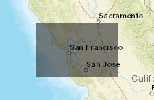
- 2050 Housing density
2050 Housing density
Oct 8, 2018
Created by
Melanie Ladra

- Description
- Map portrays the 2050 housing density, urban growth and sea level rise
- Location
- Credits
- CA Forestry and Fire Protection
- Use Constraints
 This work is licensed under a Creative Commons Attribution 3.0 License.
This map is visible to everyone
About the Map Author
Melanie Ladra
Student with San Francisco State University
I am a student at SFSU currently studying impacts of sea level rise on the 9 bay area counties. I I plan to use this data to complete a project on sea level rise in an urban planning class. I also plan on using the data for a project in my GIS class.