

 Own or work here?

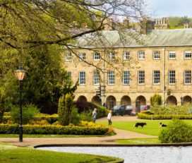
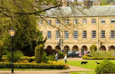


Church Cottage...
Church Street, Baslow, Derbyshir...

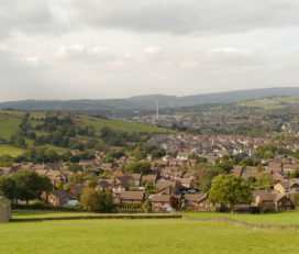
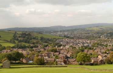
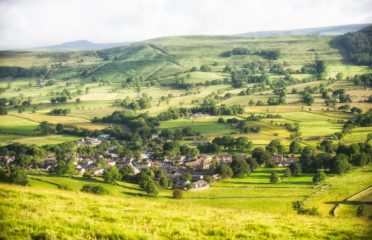
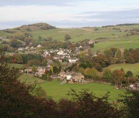
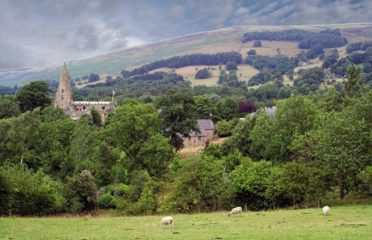
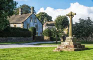
The lovely village of Hayfield lies in the valley of the River Sett, at the foot of Kinder Scout, on the very edge of the Peak District National Park.

Hayfield is an ancient village, with evidence of inhabitation since pre-Roman times. It is recorded in the Domesday Book of 1086 as ‘Hedfelt’, part of the Royal Forest of the Peak.
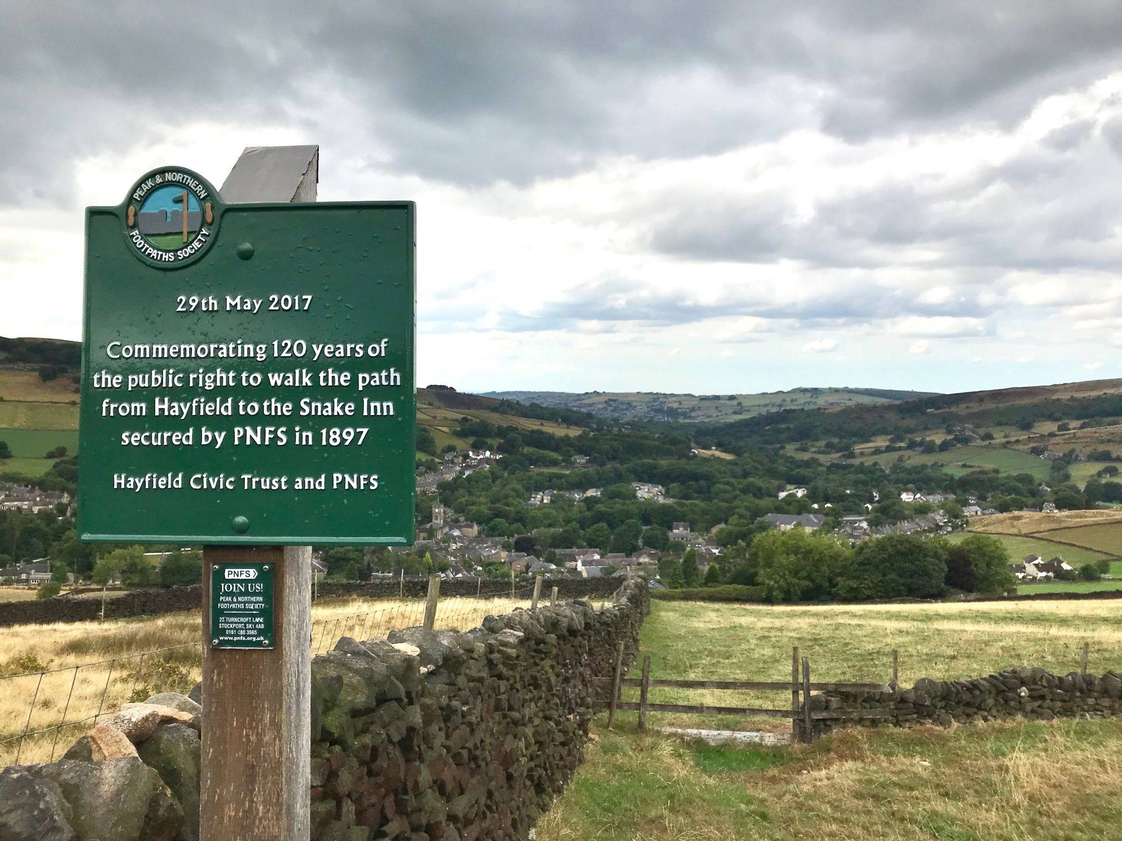
Despite its isolated location it was an important settlement, most probably because it was situated on an ancient packhorse route between Cheshire and Yorkshire and the line of a former Roman road between Buxton and Glossop.

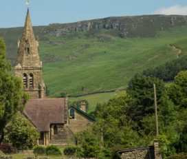
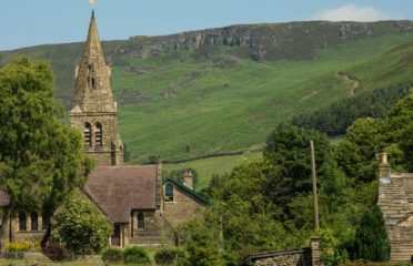
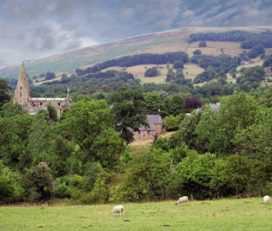
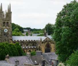
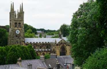
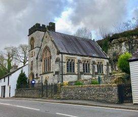
There are still a number of historic buildings in the village, with parts of St Matthew’s Church dating from 1386, although it was largely rebuilt in the early 1800s. Nearby Fox Hall dates from 1625.
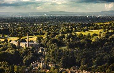
The village expanded during the Industrial Revolution, with woollen and later cotton mills dominating the area’s industry. Other local industries included quarrying and farming. There are still some quarries in the area, and the scars of previous quarries can still be seen in the landscape.
In 1868 a branch railway line linked Hayfield with Manchester, and with the advent of easy rail travel came tourism. It is estimated that in 1920-1930 around 5,000 people visited Hayfield each weekend to enjoy walking in the surrounding countryside.
The railway line eventually fell victim to the Beeching Cuts and closed in 1970. It is now part of a lovely traffic-free walking trail, the Sett Valley Trail.
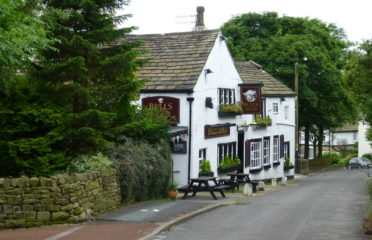
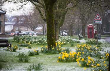
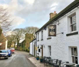
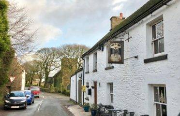
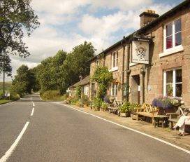
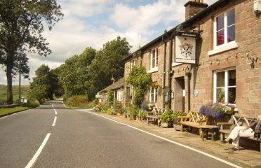
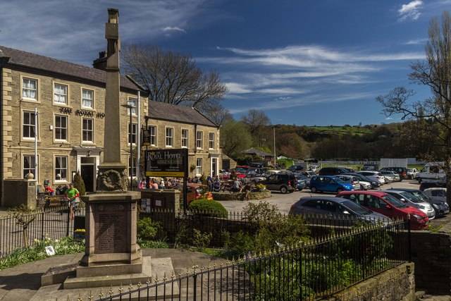
Hayfield today is a lively, bustling place, with a wide range of shops, cafés, galleries and pubs. One of the original mills still stands too, Clough Mill, albeit now converted to accommodation. The village holds an annual May Queen procession and also displays beautiful Well Dressings every year.

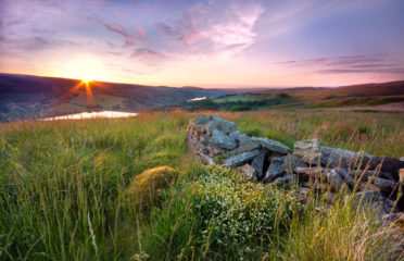
Hayfield is dominated by the rolling hills that surround it on every side, visible from almost all points in the village. The landscape is pure Dark Peak at its very best, with wild heather moorland and gritstone crags.

Hayfield is very closely linked with Kinder Scout, the highest point in the Peak District. The civil parish includes a significant amount of the Kinder Scout plateau, and Hayfield is renowned for being the starting point of the Kinder Mass Trespass.
Perhaps the most notable local natural landmark is Kinder Low, a gritstone outcrop which is one of the highest hills in the Peak District, at 633 metres above sea level. Kinder Downfall, the highest and certainly one of the most dramatic waterfalls in the Peak District, tumbles from the rocky edges at the edge of the moor.

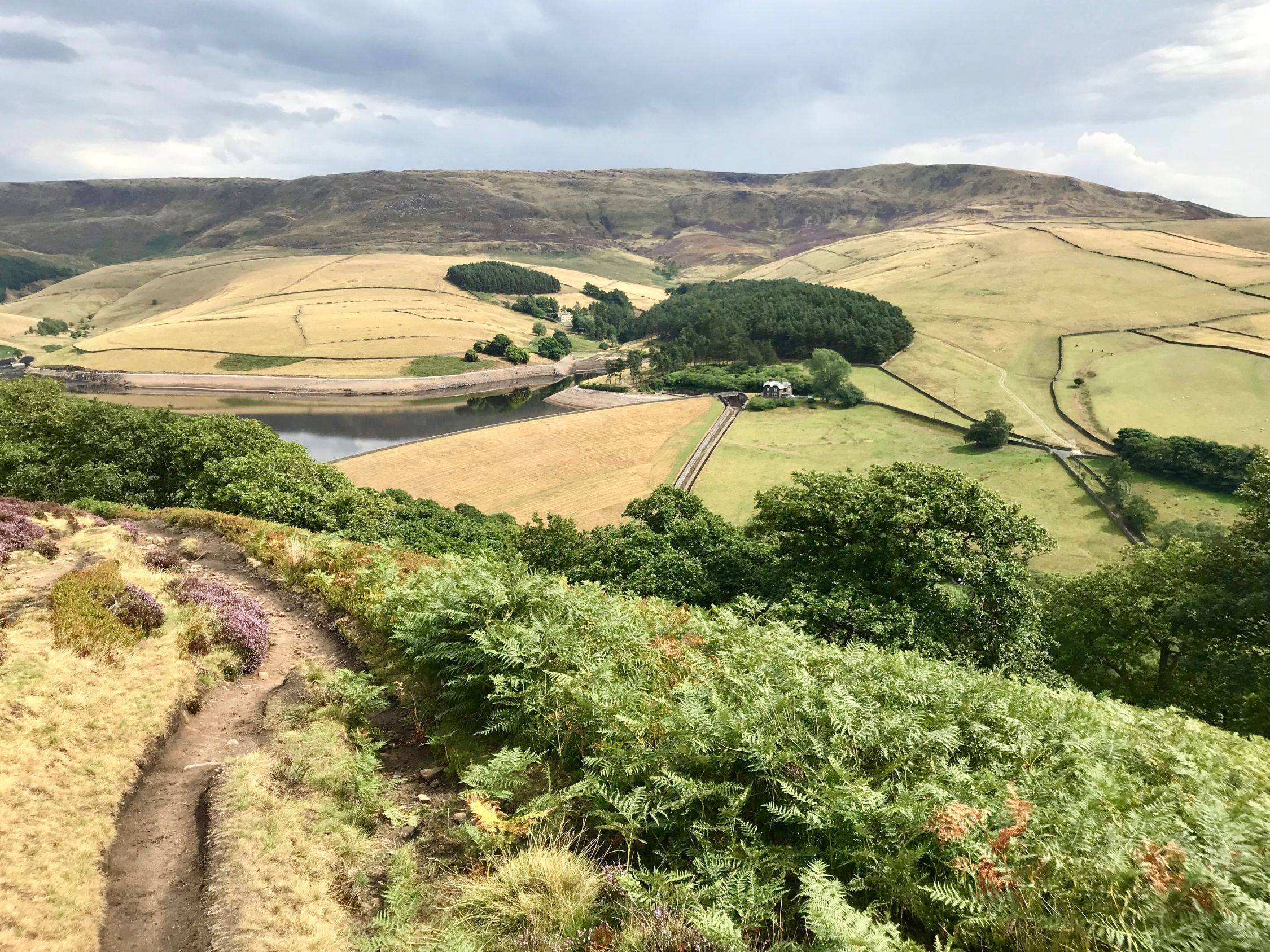
The River Kinder and River Sett meet at Bowden Bridge, just outside Hayfield. Together they take the majority of the rainwater run-off from the west side of the Kinder plateau. The River Sett continues on and runs through the centre of the village.
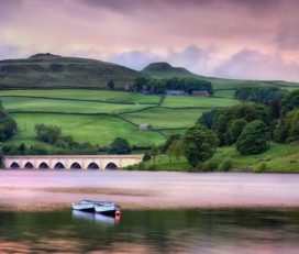
Kinder Reservoir, lying in the foothills of Kinder Scout, was built between 1903 and 1912, and has a surface area of 44 acres.
On 24 April 1932 a group of over 400 peaceful protestors took to private land across Kinder Scout and joined in a coordinated ‘Mass Trespass’ to highlight the restrictions upon walking in open country.

This action led directly to legislation that allowed people to walk freely on access land throughout the United Kingdom. It was also a contributory factor in the creation of the National Parks, the first of which was the Peak District.
Hayfield is still a very popular walking centre, being a favourite location from which to access the Pennine Way. It also lies on the Pennine Bridleway and is a traditional starting point for the ascent of Kinder Scout.
 Tintwistle, UK...
 Castleton, Hope Valley, UK...
 Bollington, Macclesfield, UK...
 Wormhill, Buxton, UK...
 Hathersage, Hope Valley, UK...


Church Street, Baslow, Derbyshir...
Eyam Hall Courtyard, Hope Valley...

Brierlow Bar, Buxton SK17 9PY...

Unit 6, Bankside Works, Lumley S...

Bankside Cottage, Milldale, Ashb...
