Kilcoagh East
Kilcoagh East is a locality in County Wicklow, Leinster. Kilcoagh East is situated nearby to the localities Kilcoagh West and Levern.Notable Places in the Area
Church Mountain
Peak

Photo: Sarah777, Public domain.
Church Mountain, also called Slieve Gad, is the westernmost of the Wicklow Mountains in Ireland.
Localities in the Area
Hollywood
Village

Photo: Sarah777, Public domain.
Hollywood is a village in west County Wicklow, Ireland. Hollywood is situated 6 km north of Kilcoagh East.
Valleymount
Village
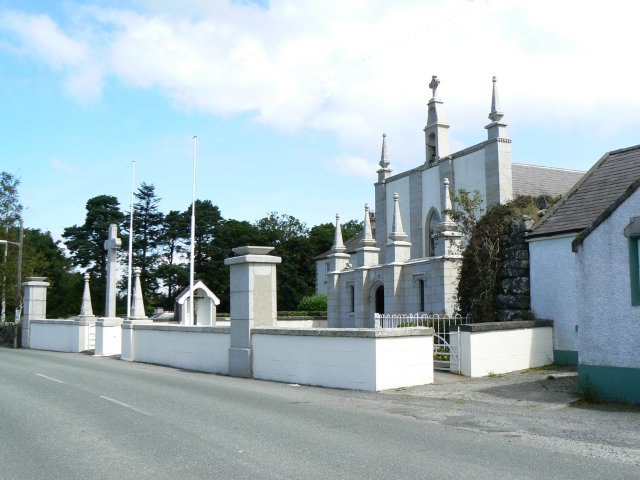
Photo: James Allan, CC BY-SA 2.0.
Valleymount is a small village in western County Wicklow, Ireland. Valleymount is situated 8 km north of Kilcoagh East.
Stratford
Village
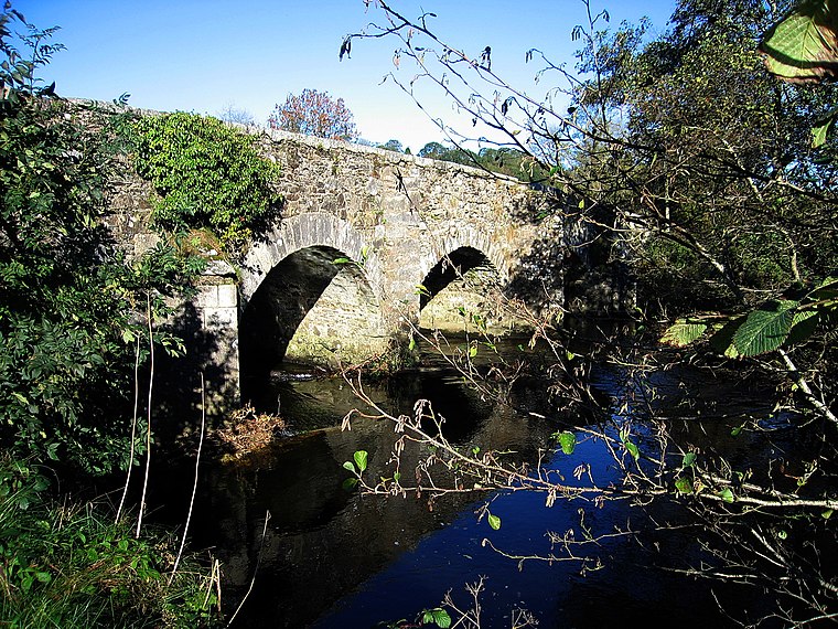
Photo: Sarah777, Public domain.
Stratford-on-Slaney, also known as Stratford or Stratford-upon-Slaney, is a small village on the River Slaney in west County Wicklow in Ireland. Stratford is situated 9 km southwest of Kilcoagh East.
Kilcoagh East
- Type: Locality
- Location: County Wicklow, Leinster, East Coast and Midlands, Ireland, Britain and Ireland, Europe
- View on OpenStreetMap
Latitude
53.03698° or 53° 2' 13" northLongitude
-6.56896° or 6° 34' 8" westOpen Location Code
9C5M2CPJ+QCOpenStreetMap ID
node 1495486505OpenStreetMap Feature
place=localityKilcoagh East Satellite Map
© OpenStreetMap, Mapbox and Maxar
Localities in the Area
- Kilcoagh WestLocality
- LevernLocality
- CorraghLocality
- BallymooneyLocality
- Studfield NorthLocality
Landmarks in the Area
- CorriebracksPeak
- PinnaclePeak
- KnocknaboleyPeak
- LobawnPeak
- Toor LodgeRuins, 3 km north
Popular Destinations in County Wicklow
Discover Bray, Wicklow Town, Arklow and Glendalough.
Escape to a Random Place
Discover other localities in the world.
About Mapcarta. Thanks to Mapbox for providing amazing maps. Data © OpenStreetMap contributors and available under the Open Database License. Text is available under the CC BY-SA 4.0 license, excluding photos, directions and the map. Photo: Wikimedia, CC BY-SA 3.0.