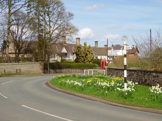
Mellerstain Mill
Mellerstain Mill is a hamlet in Scottish Borders, Scotland. Mellerstain Mill is situated nearby to the locality Smailholm Mill and the hamlet Rachelfield.Notable Places in the Area
Mellerstain House

Photo: Steve Kent, CC BY-SA 2.0.
Mellerstain House is a stately home around 8 miles north of Kelso in the Borders, Scotland.
Smailholm Tower

Photo: Supergolden, CC BY-SA 3.0.
Smailholm Tower is a peel tower at Smailholm, around five miles west of Kelso in the Scottish Borders. Smailholm Tower is situated 2½ miles south of Mellerstain Mill.
Brotherstone Hill
Peak

Photo: Walter Baxter, CC BY-SA 2.0.
Brotherstone Hill is a hill near St. Boswells and the Eildon Hills in the Scottish Borders area of Scotland, with two standing stones from the megalithic age, on the summit of Brotherstone Hill, at a height of 418 metres. Brotherstone Hill is situated 2½ miles southwest of Mellerstain Mill.
Localities in the Area
Smailholm
Village

Photo: Steve Kent, CC BY-SA 2.0.
Smailholm is a small village in the historic county of Roxburghshire in south-east Scotland.
Gordon
Village

Photo: Jimmydenham, Public domain.
Gordon is a village in the Scottish Borders area of Scotland, within the historic county of Berwickshire. Gordon is situated 3 miles north of Mellerstain Mill.
Stichill
Village

Photo: Wikimedia, CC BY-SA 2.0.
Stichill is a village and civil parish in the historic county of Roxburghshire, a division of the Scottish Borders. Stichill is situated 4 miles east of Mellerstain Mill.
Mellerstain Mill
- Type: Hamlet
- Category: locality
- Location: Scottish Borders, Scotland, United Kingdom, Britain and Ireland, Europe
- View on OpenStreetMap
Latitude
55.63529° or 55° 38' 7" northLongitude
-2.55636° or 2° 33' 23" westOpen Location Code
9C7VJCPV+4FOpenStreetMap ID
node 1917349383OpenStreetMap Feature
place=hamletMellerstain Mill Satellite Map
© OpenStreetMap, Mapbox and Maxar
Other Places Named Mellerstain Mill
Localities in the Area
- Smailholm MillLocality
- RachelfieldHamlet
- GirrickHamlet
- Hardies MillLocality
- Wester GirnickLocality
Landmarks in the Area
- Sneepbank PlantationForest
- Millhaugh PlantationForest
- Eden WaterRiver
- South LodgeRuins
- Turnbrae PlantationForest
Escape to a Random Place
Discover other hamlets in the world.
About Mapcarta. Thanks to Mapbox for providing amazing maps. Data © OpenStreetMap contributors and available under the Open Database License. Text is available under the CC BY-SA 4.0 license, excluding photos, directions and the map. Photo: Andrew Bowden, CC BY-SA 2.0.