Ottomite Mountain - June 10 2023
Had to drive a while to escape the rain, but eventually I managed to find a (relatively) dry bump to walk up!


North Hope Mountains, Coquihalla, British Columbia
1475m
Another weekend, another peak. This time, with my injury still going strong (or is it going weak?), I had to literally go the extra mile to exercise caution and "practice safe hiking". Specifically, all the way from Lillooet south through to Vancouver and east out to Hope was rainy, and with my low tolerance for slipping+falling right now, I scrounged around the maps until I could find a small enough peak that I could drive out in the late morning, get there, bag it, and get home in a reasonable window. Turns out there's a mostly-FSR peak in the Coquihalla Summit area, and so my sights were set on Ottomite Mountain.
I left home at about 11:30, and with some surprisingly bad traffic for a dreary, cool Saturday, I got to the rest area off the highway in just about three hours. I took a short restroom break, wandered around to locate the exact trailhead and parking (there are signs at the rest stop indicating one should not linger), found a nice dirt field in front of the trailhead, and parked there, setting off at 2:52pm.
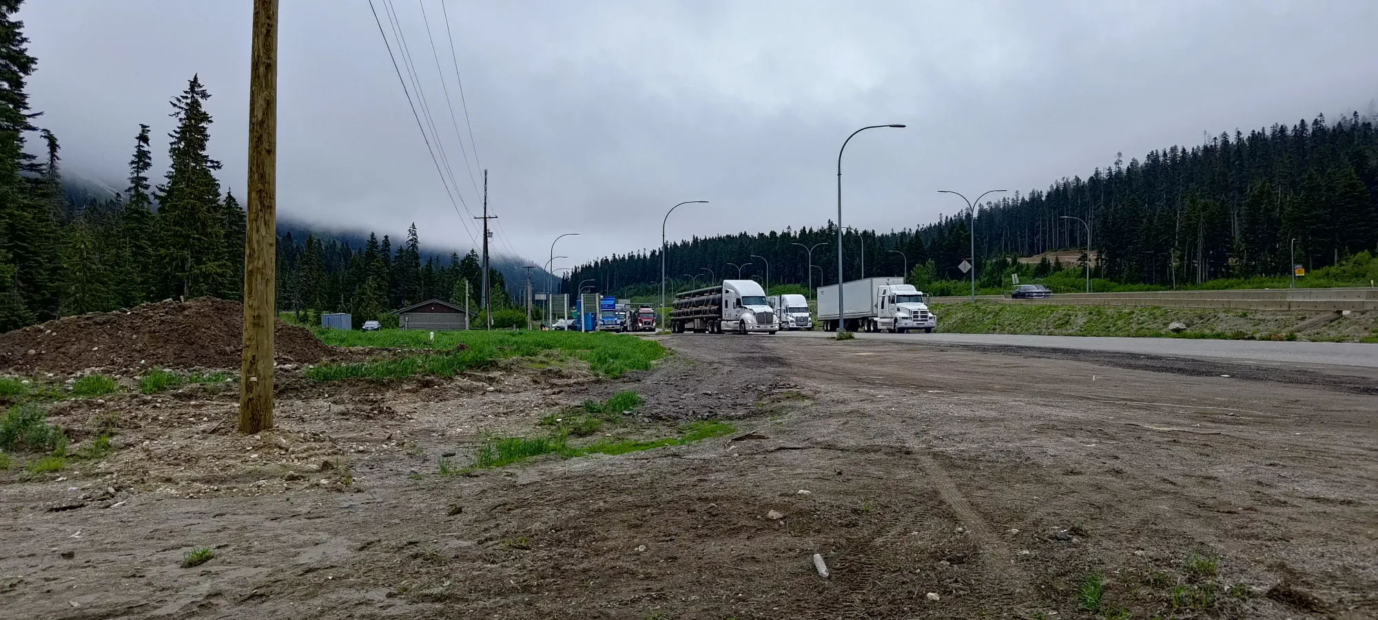
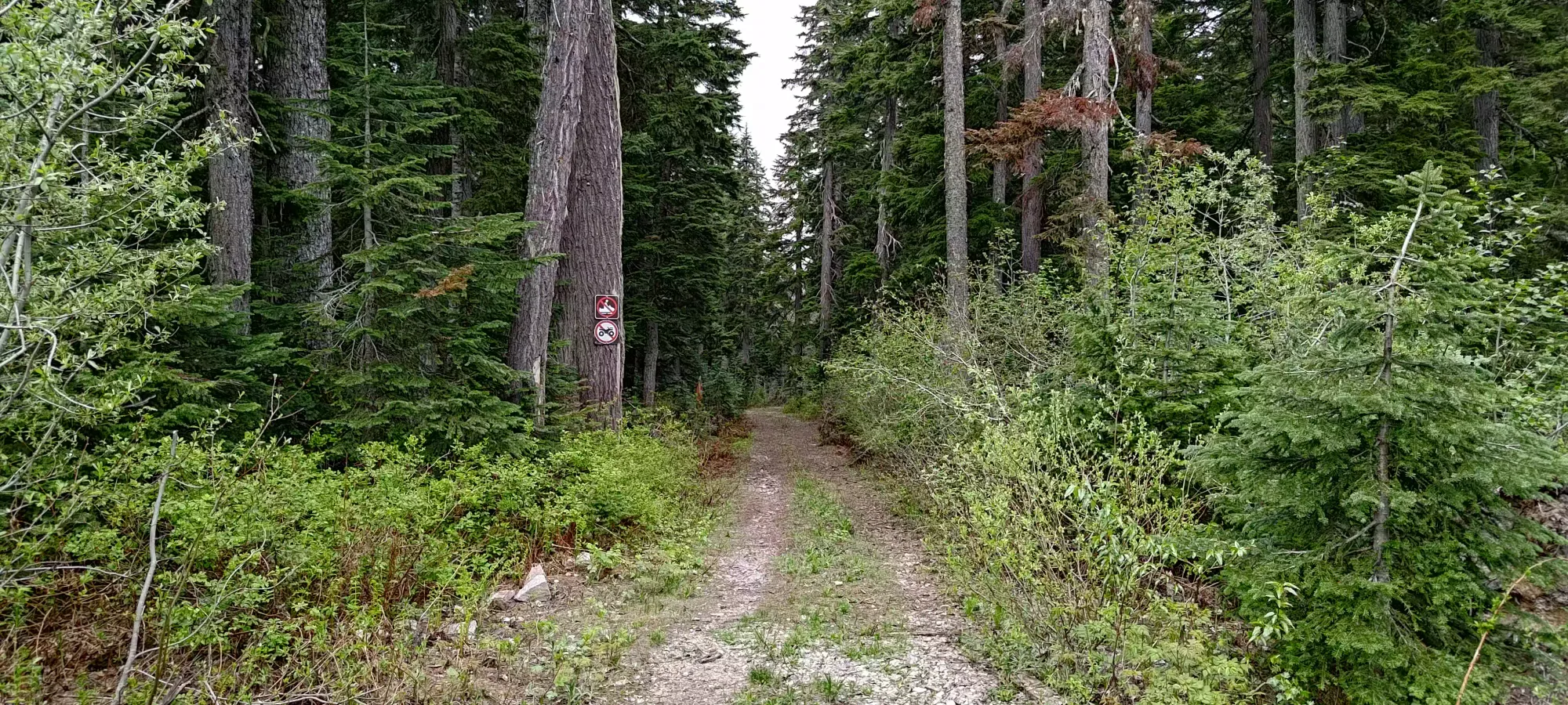
I didn't see anything in trip reports about being able to drive part of the trail, so I just "trusted it" and left my car at the parking area. This turned out to be a good call, as not 2 minutes later, I found a sign indicating one is not to sled or ATV here. I guess that technically didn't say no cars, but that's probably implied.
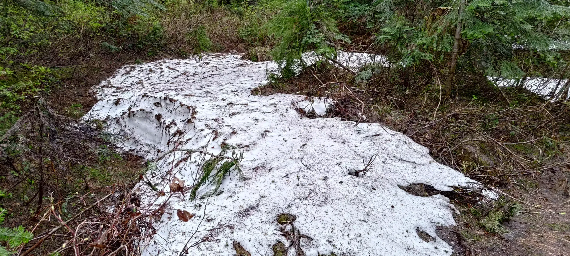
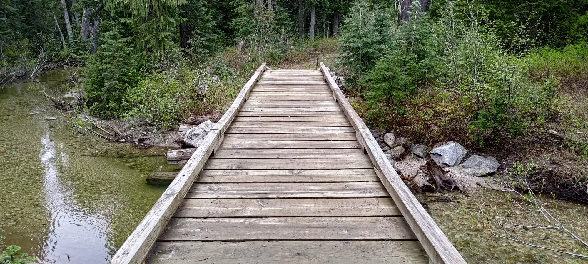
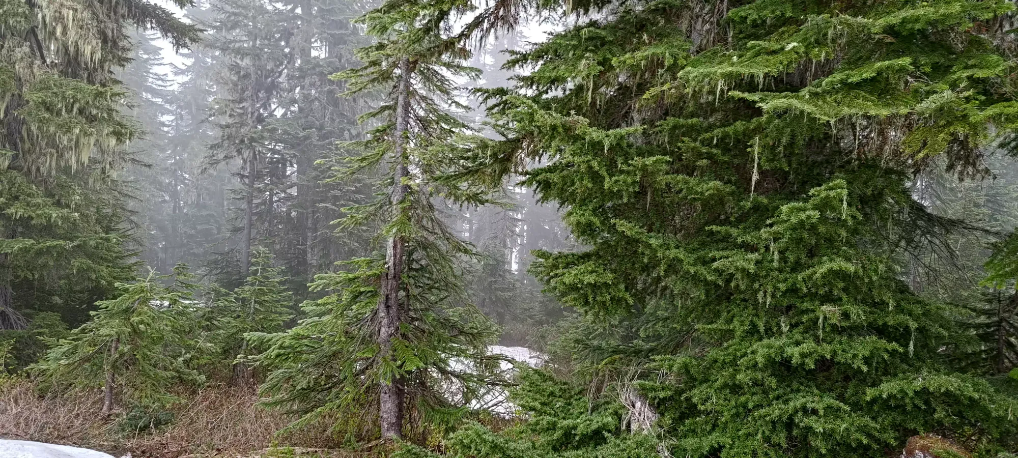
Along the first section of trail before the crossing for Boston Bar Creek, I did see some snow patches to the side. I was worried my bold choice to leave spikes at home might come back to bite me, but I pressed on, figuring it'd be fine with the slight grade and the road generally being more sun-exposed, and that turned out to be correct. Under 5 minutes from leaving the car, I arrived at the creek, with a nice bridge explaining why they didn't need to say "no cars", it was definitely too narrow and weak for a car.
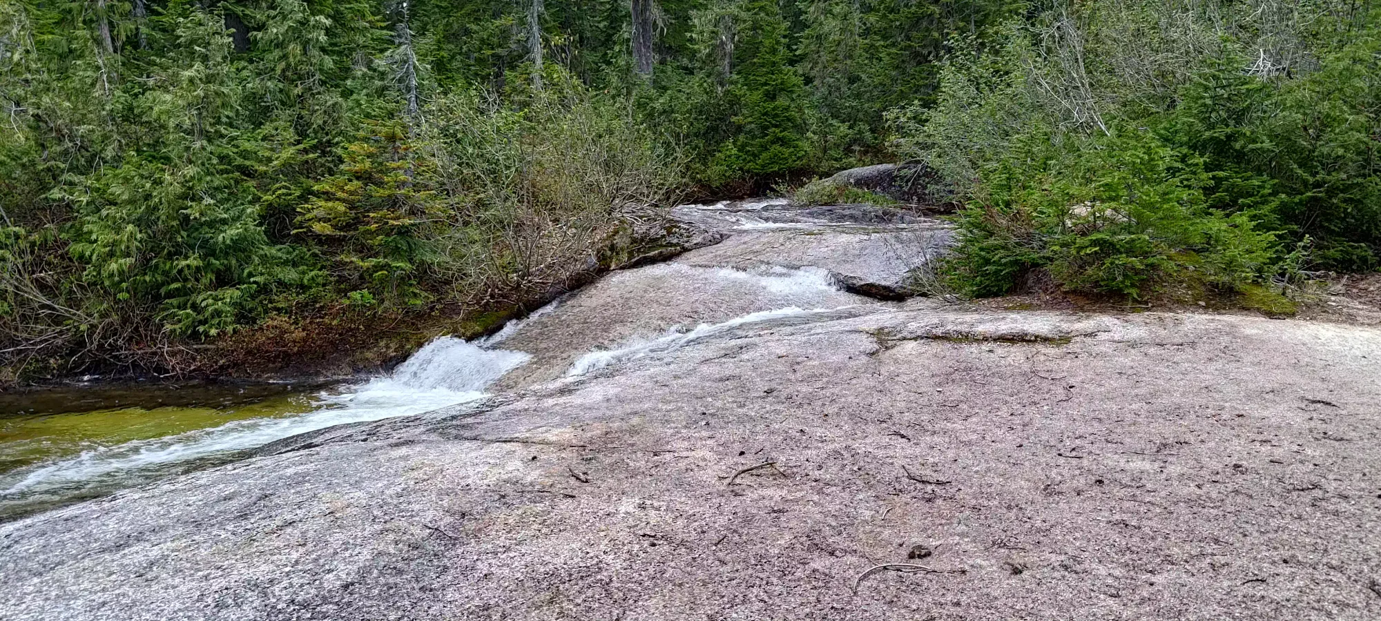
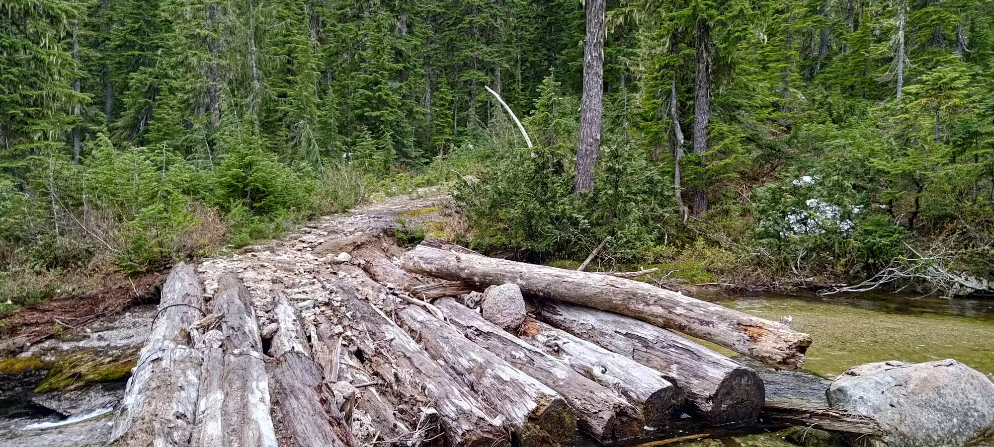
From the creek crossing, it was a rather uninteresting plod along a road that's frustratingly intact (since you're not allowed to drive it). On the other hand, it did fulfill my requirement of "terrain easy on the ankles" quite well, so I made good progress, reaching 1.65km in about 20 minutes, although I'd only gained about 40m of elevation due to the road being rather gentle and somewhat undulating. I did at least get some nice views of a tributary creek here, along with a bridge that I was more accepting of "not being able to drive over".
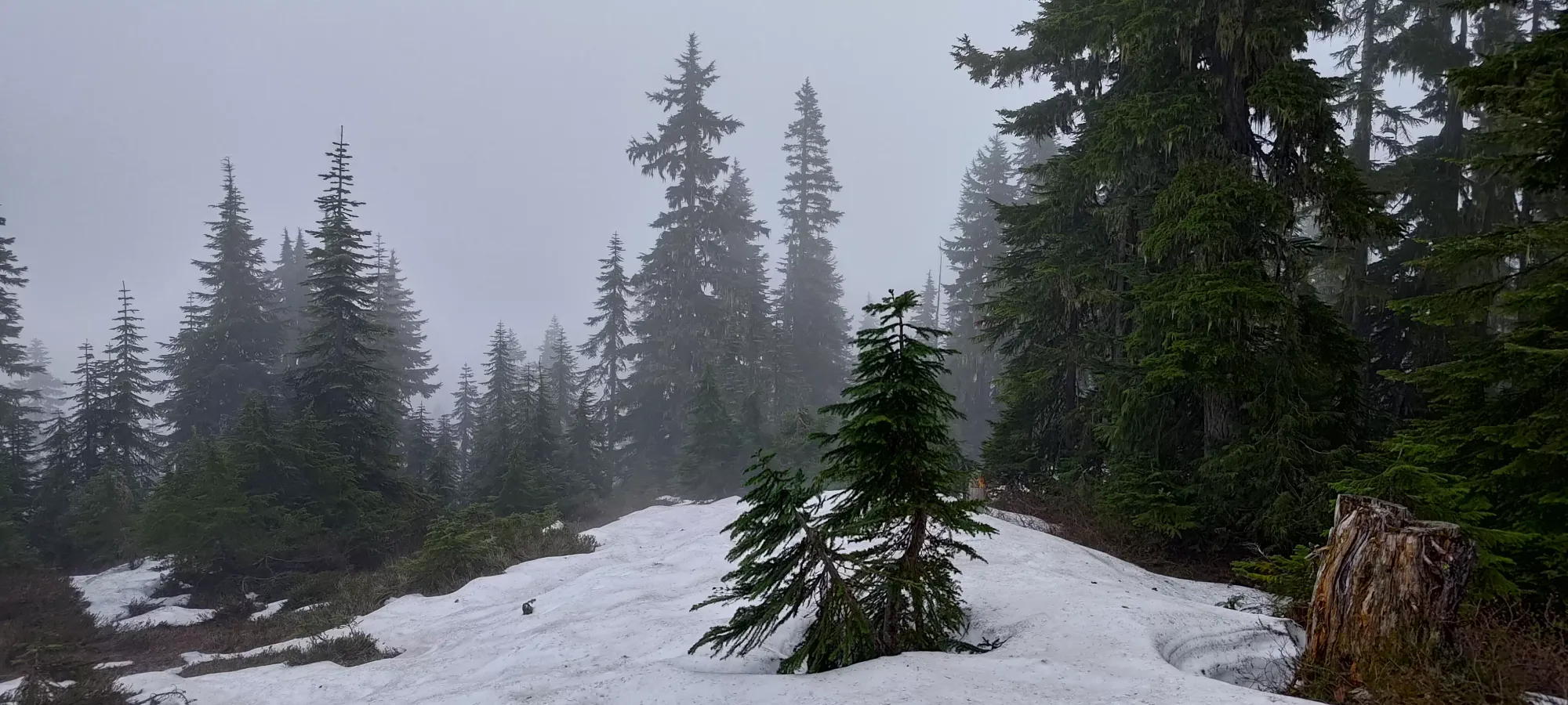
After that, it was more of the same "walk up the road", except it got a bit steeper. Once I hit 1370m (the fork for Zupjok), the road got a bit rougher (but still doable in a capable rig, if other factors hadn't stopped you like bridges, deadfall, and the dreaded "rules"), and I started to encounter snow more frequently. At this point, though, it was still fairly minimal, and not off-camber so easy to walk on (plus it was late spring snow and quite compacted). I had seen some tracks in the snow patches to this point, but none after.
I slowed down a bit after 1400m, as the snow got more common again (more so than bare ground), and was not very even, much thinner on the downslope side of the road than the upslope side. This made for slower, more careful travel, as my ankle is perhaps least happy when forced to sidehill. Nevertheless, I pushed on, and eventually reached the summit in just under an hour.
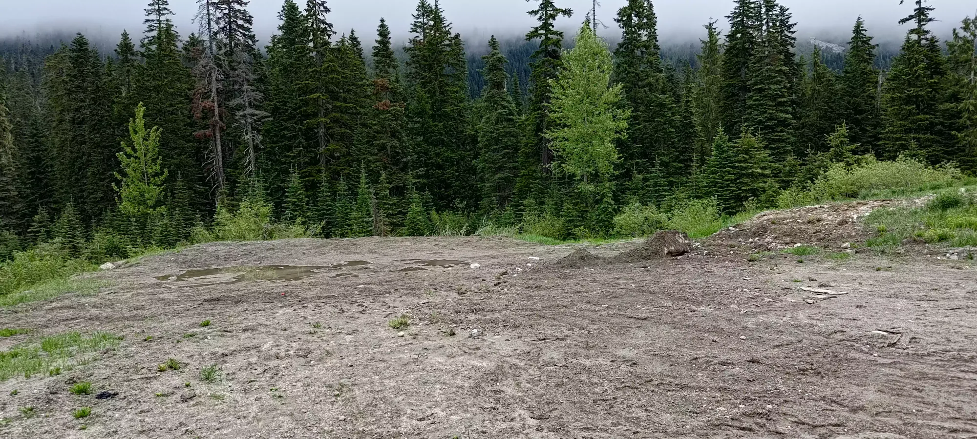
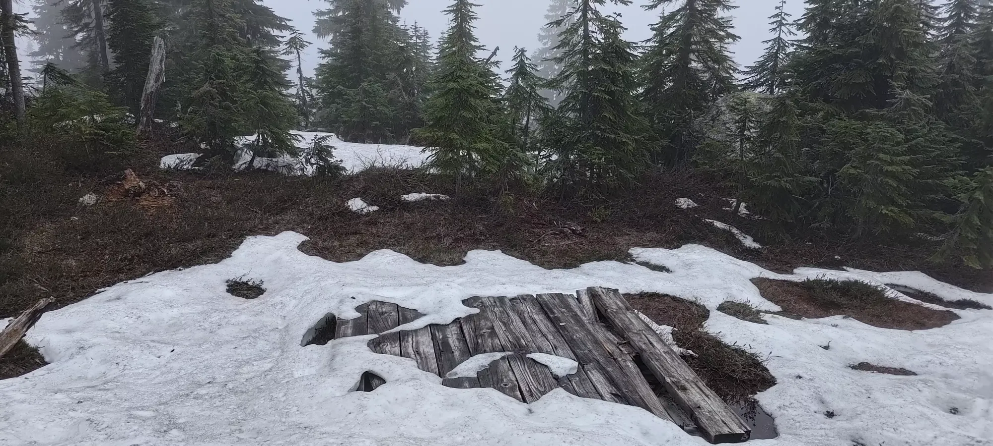
I snapped a couple photos and headed down quickly. The summit is a small helipad, a couple sign poles (without signs), and not much else. For me, the fact that this was the first time I'd really sweat since getting injured was more rewarding than the views. The easy terrain definitely helped with that, it's great for those with bad joints.
The descent was just about as uninteresting as the ascent, so I took even less pictures than my usual scant photos on the descent. In fact, I took none. So I'll summarize it with all the detail deserved: I walked down the road. It took as long as the way up, basically exactly; which was a good reminder after a pretty "normal-feeling" ascent of how much work I have left with respect to regaining my range-of-motion and regular gait, as that descent should basically be a jog.
But hey, a peak's a peak and I managed to get one in despite the crappy weather, so all's well that ends well. Though it was a pretty expensive one, using basically a full tank of gas. Definitely makes me wish more EVs were decent offroad, I could save so much in fuel costs. I guess also time, I spent like 6 hours driving and only 2 hiking 😆
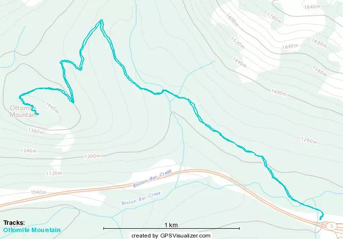
GPX Track + Map