Location: Wooroonooran National Park
Article: Written by Tom Chase; Imagery by Tom Chase
Directions: Western Trail Head (Atherton Tableland, 78km south south west of Cairns) https://parks.des.qld.gov.au/parks/bartle-frere/
Directions: Eastern Trail Head (Josephine Falls, 75km south of Cairns) https://parks.des.qld.gov.au/parks/bartle-frere/
Townsville Hike and Explore has summited Queenslands highest peak, Mount Bartle Frere a handful of times this year with adventurers joining our group from northern and central Queensland to summit this impressive peak, rising to 1611 metres above sea level. Located in the Bellenden Ker Range, Mount Bartle Frere was named after Sir Henry Bartle Frere, a British colonial administrator and then president of the Royal Geographical Society by George Elphinstone Dalrymple in 1873.
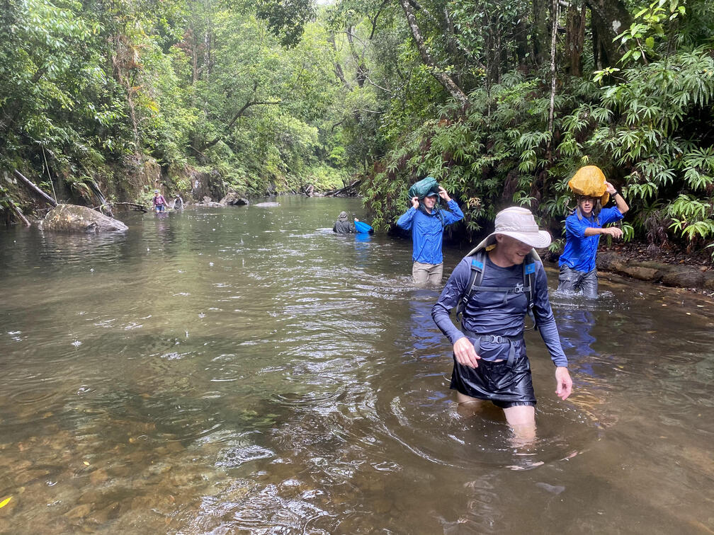
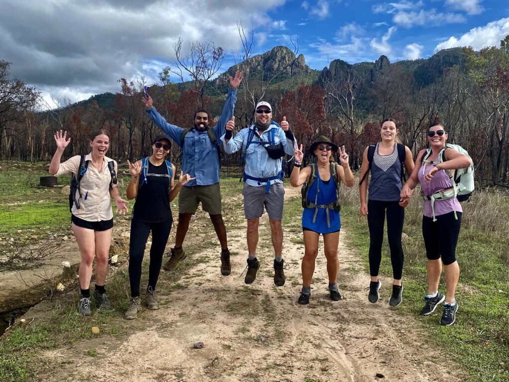
Led by Michael Warren, the day started with 13 adventurers meeting up at 05:45 in Bartle Frere/Josephine Falls carpark. Some having camped at Babinda Boulders, and some having slept in the back of their utes and cars in the carpark the night before. After a quick briefing from Michael we started the trek upward at 06:00. The first 2km’s were quite easy with very gradual elevation change and when we reached the first creek crossing, we stopped for a quick break.

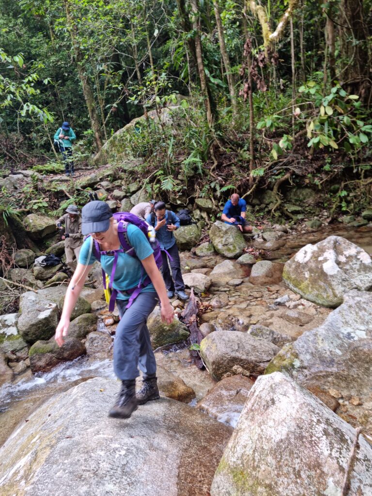

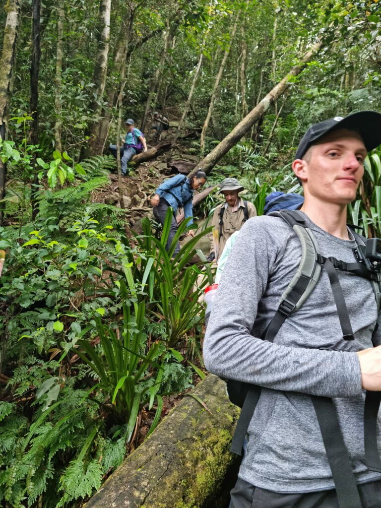
After this, the track became a bit steeper and more technical and having rained in the days before it was quite wet and slippery at times. This brought the leeches out in full force, and they were hungry! At somewhere around the 3km point we reached the final creek crossing at the Broken Nose turnoff. Here we filled up our bottles and bladders for the epic journey upward.
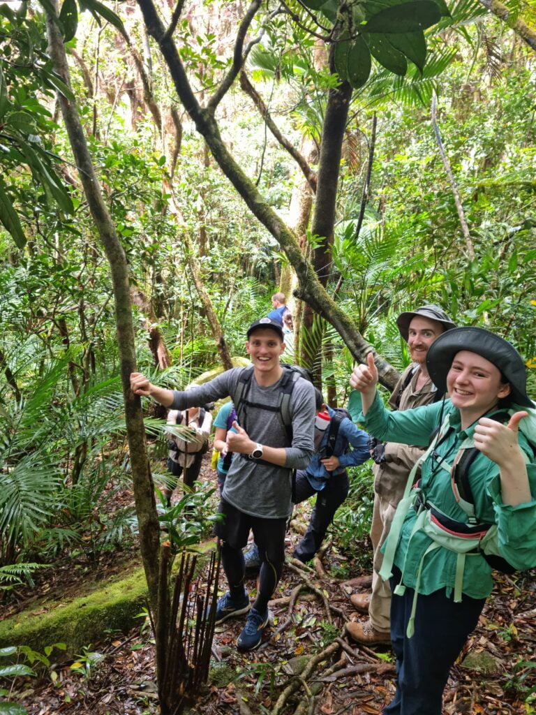
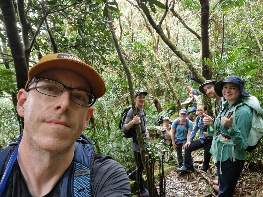
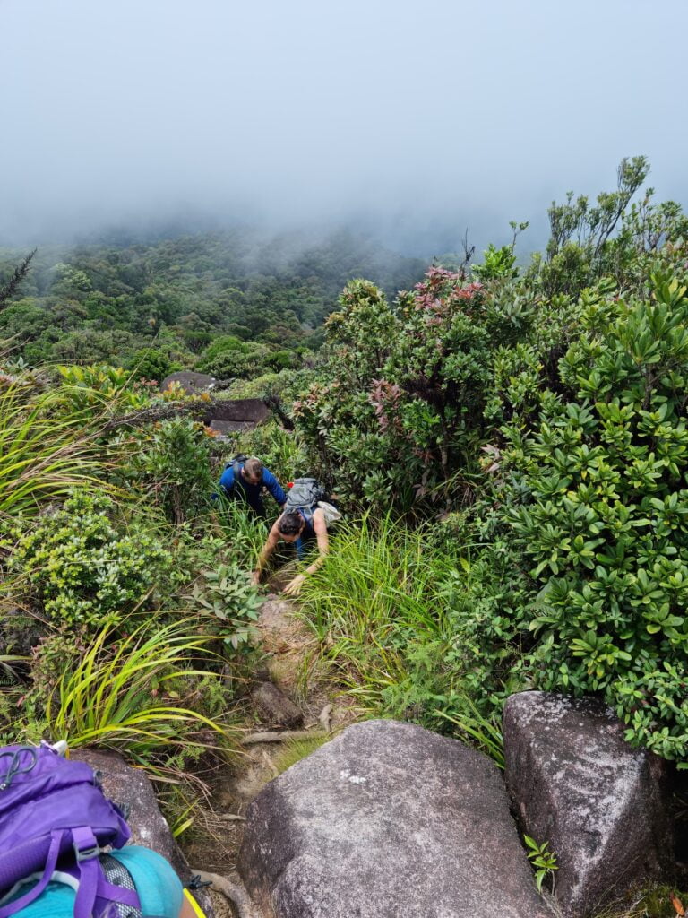
At this point you enter the ridgeline and elevation comes quickly and doesn’t stop for nearly the entire way. We took breaks along the way as needed to refuel and remove leeches and continued our trek up the mountain. Somewhere around the 5km mark we started walking through clouds which made the track foggy and wet. And again, the leeches were loving life.
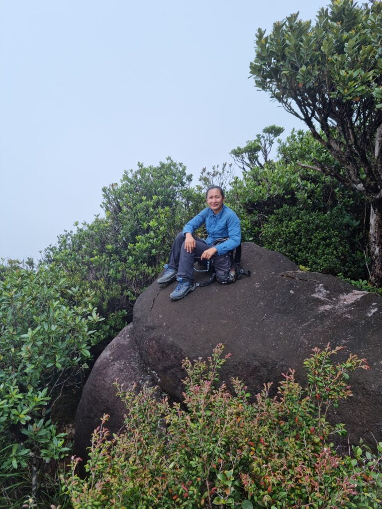
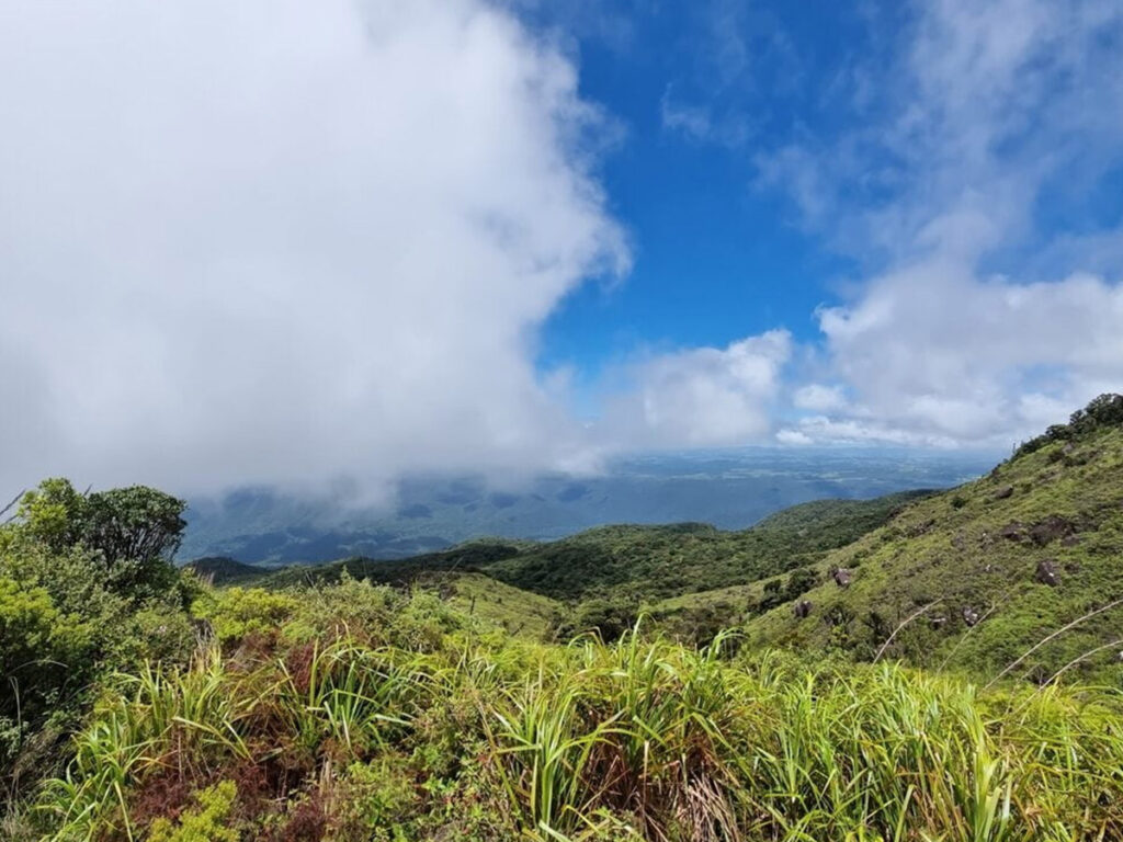
Around the 6km mark the canopy opens up and we found ourselves climbing up and rock hopping across boulders. We were truly above the clouds and it’s here where we experienced our first views of the valleys below as the clouds would temporarily part. We continued onward and reached the helipad at approximately 10:50. Everyone dropped their packs in relief and took the opportunity to take some photos.
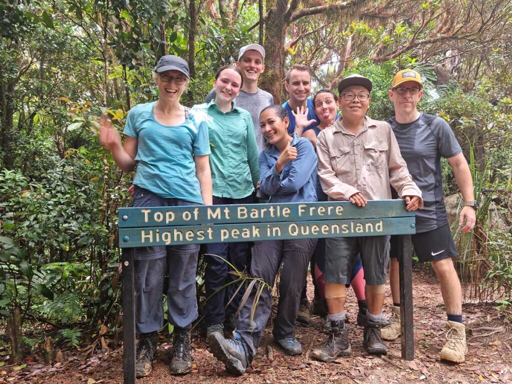
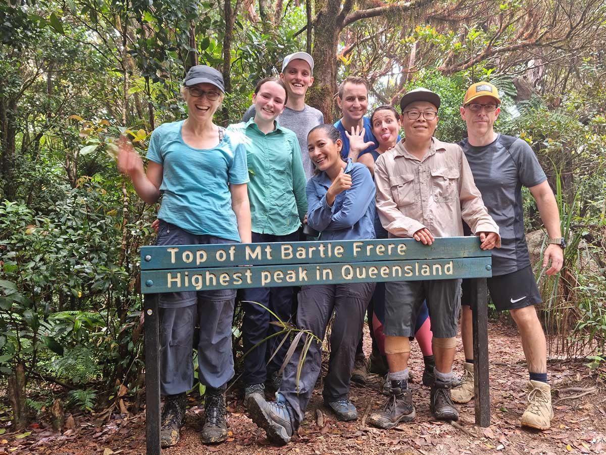
A few of us decided to stay and rest at the helipad so I led the remaining group on the final 30min journey up across the boulders, back into the canopy, and up the gnarly root ladders to the peak of Mt. Bartle Frere where we celebrated, and many photos were taken. We headed back down to the helipad and had lunch and rested.

The trip down was much like the trip up…wet and slippery, forcing us to take careful footing as there were a few near misses and spectacular saves. We rested as necessary, but it was a consistent walk down to the 3km mark. When we arrived at the creek crossing, we were greeted by a group of nudists bathing in the creek. We called out to alert the nudists to our presence, but they were not deterred in their nakedness so across we went. We traveled on to the next creek crossing where we rested and cooled our tired feet and bodies. We made it back to the carpark at approximately 16:30 where we disbanded and went on our separate ways. A few of us continued walking to Josephine Falls for a nice cold swim.
It was an epic adventure for sure, and as I sit here sore as hell writing this, I’m looking forward to the next one!