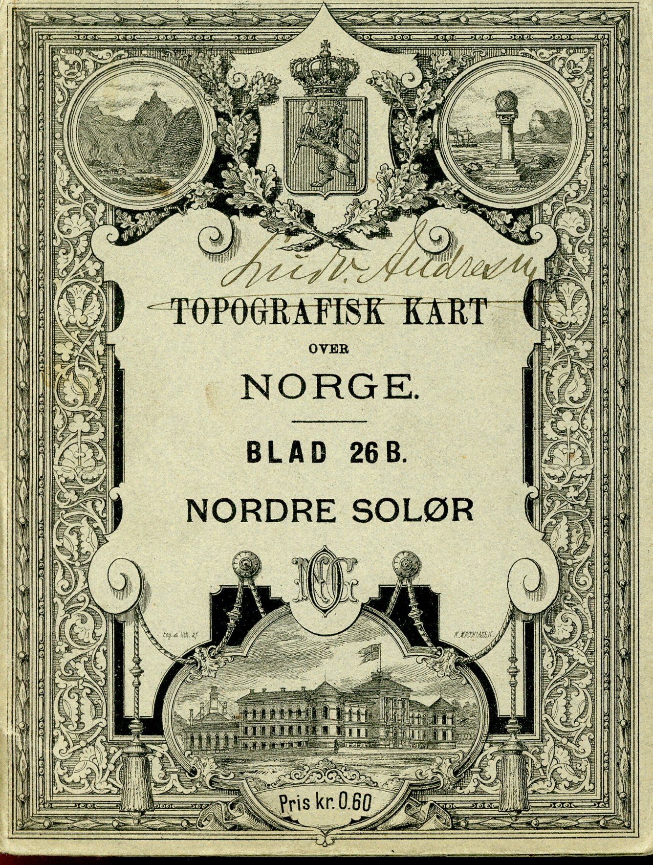
Topografisk kart over Norge - Blad 26 B Nordre Solřr
Published by Norges geografiske opmaaling, 1895
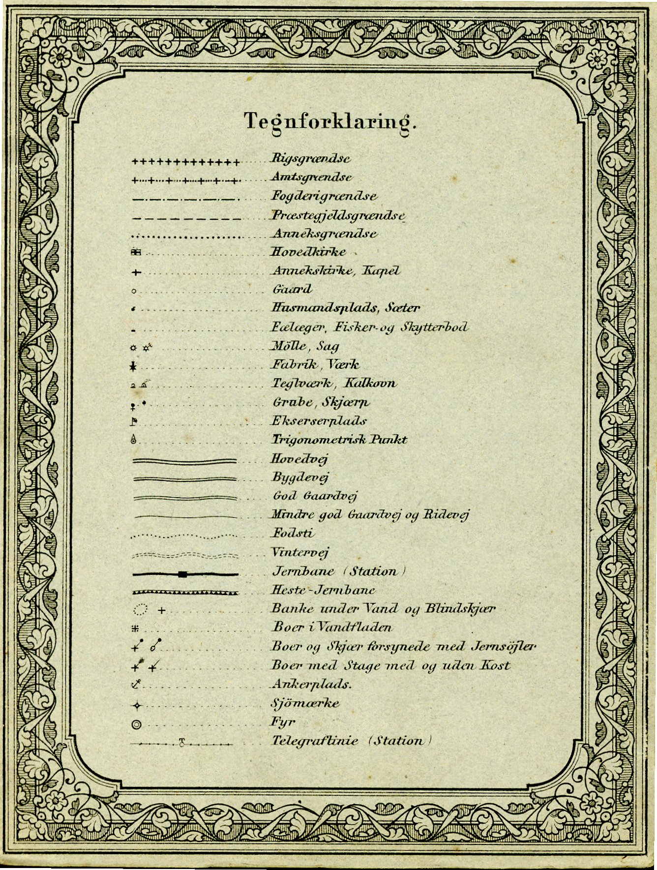
Map
Condition: Good
Soft cover