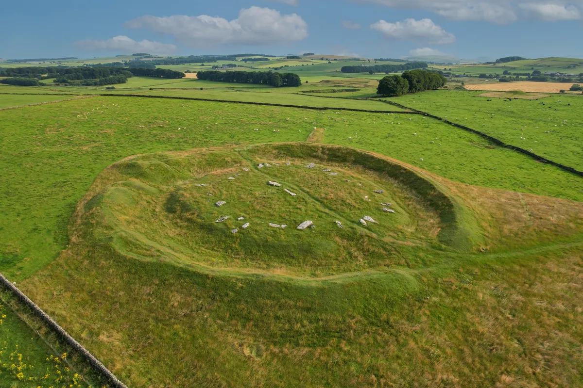
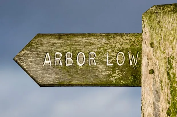
Arbor Low, standing almost 400 metres above sea level on Middleton Common near Monyash, is the most famous and impressive prehistoric site in the Peak District, often dubbed the 'Stonehenge of the North'.
For atmosphere and a sense of closeness with the past, many feel that it far outshines its bustling, southern counterpart on Salisbury Plain.
This easy, 5.5-mile walk starts from the pretty limestone village of Monyash, formerly an important lead mining centre, and takes you to the famous stone circle.

Arbor Low walk
5.5 miles/8.8km | 3 hours | Moderate | 147m ascent
1. Start
From Monyash, take the road that leads towards the A515. Where this bends sharply right, head left on the lane, then left again in 50 yards onto a rough track. After 70 yards join the signposted Limestone Way at a gate.
Grassy depressions and hummocks in the fields mark the sites of long-abandoned lead mines.
2. Fern Dale
At the next gate at the head of dry Fern Dale, leave the Limestone Way and head right on a footpath to a gate where the path is signed for Arbor Low. Several stiles and gates eventually bring you to the driveway to Cales Farm.
3. Upper Oldhams Farm
Turn right and follow the signs for Arbor Low and right again when you reach the road, taking great care as quarry lorries use this lane.
In less than half a mile, turn left by a sign onto a farm track which leads towards Upper Oldhams Farm. The monument is across a couple of stiles just beyond the farmhouse, where there is usually a bucket to accept donations.

4. Arbor Low
The Neolithic Arbor Low henge has long puzzled archaeologists, and the origin and purpose of the 4,000-year-old circular earthwork and ditch with its internal ring of 50 fallen limestone monoliths remain a mystery.
Retuning back to the road, turn right for about half a mile and then left onto the bridleway known as Derby Lane which heads north-west across several fields with more lead mining remains.
5. Monyash
Keep ahead on the bridleway as it becomes a walled farm track which leads directly to Summerhill Farm, where a metalled lane brings you to the lane leading back into Monyash.
Arbor Low map
Arbor Low walking route and map

Useful information
Starting Point
Chapel Street car park, Monyash, which is signed from the A515. Postcode: DE45 1JJ.
Terrain
Easy field and farm track walking.
Map
OS Explorer 24
Eat/drink/stay
The Bull’s Head pub in the centre of Monyash offers a good locally-brewed pint and has an excellent restaurant (Tel: 01629 812372).
Sheldon House B&B and self-catering accommodation in Chapel St, Monyash (01629 813067) is a five-star rated, award-winning place to rest your weary head.
