2005
NU0600 : Rough pasture south of Whitton Burn
taken 19 years ago, near to Whitton, Northumberland, England
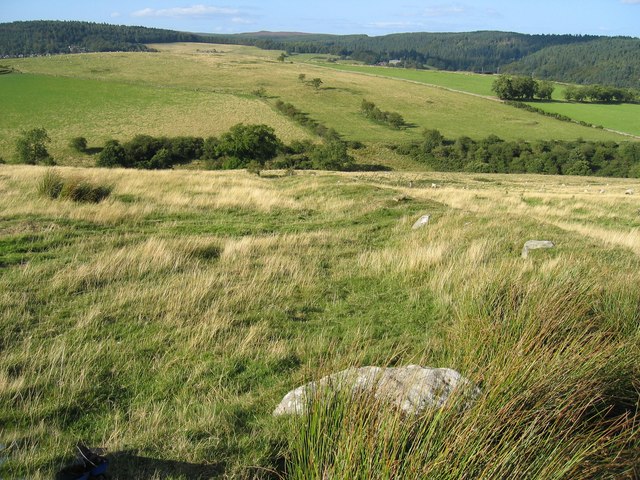
Rough pasture south of Whitton Burn
The valley running left to right is that of the Whitton Burn. Beyond this, the land rises to a small hill which conceals a view of Rothbury in the deep Coquet valley below the distant trees.
 Map © Crown Copyright")
TIP: Click the map for more Large scale mapping
- Grid Square
- NU0600, 18 images (more nearby 🔍)
- Photographer
- Andrew Curtis (more nearby)
- Date Taken
- Monday, 29 August, 2005 (more nearby)
- Submitted
- Thursday, 29 January, 2009
- Subject Location
-
OSGB36:
 NU 063 002 [100m precision]
WGS84: 55:17.7868N 1:54.1039W - Camera Location
-
OSGB36: NU 063 002
- View Direction
- NORTH (about 0 degrees)