2012
NN9154 : Path and wall beside Tullypowrie Burn
taken 12 years ago, near to Strathtay, Perth And Kinross, Scotland
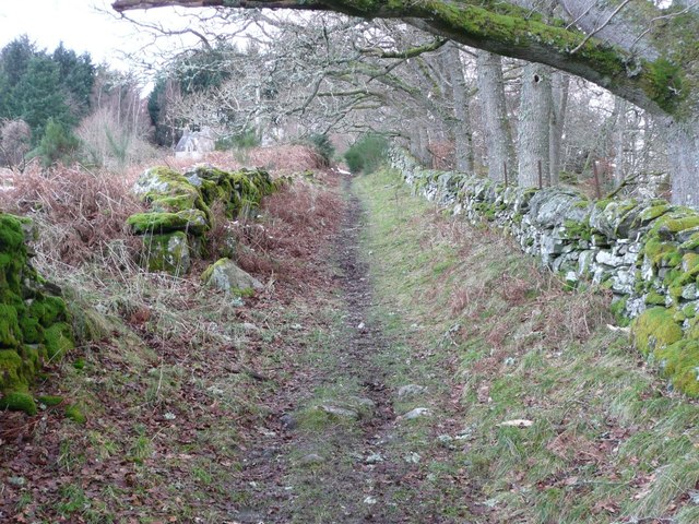
Path and wall beside Tullypowrie Burn
Milton of Tullypowrie is just visible in the trees.
 Map © Crown Copyright")
TIP: Click the map for more Large scale mapping
- Grid Square
- NN9154, 27 images (more nearby 🔍)
- Photographer
- Russel Wills (more nearby)
- Date Taken
- Thursday, 5 January, 2012 (more nearby)
- Submitted
- Thursday, 5 January, 2012
- Subject Location
-
OSGB36:
 NN 9154 5423 [10m precision]
WGS84: 56:40.0334N 3:46.2790W - Camera Location
-
OSGB36: NN 9157 5417
- View Direction
- North-northwest (about 337 degrees)