2017
NN9153 : Tullypowrie to Strathtay path
taken 7 years ago, near to Strathtay, Perth And Kinross, Scotland
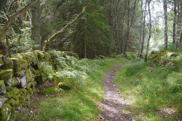
Tullypowrie to Strathtay path
A lovely path leading uphill from the golf course. Here there is an old dyke showing that this was once an enclosed road.
 Map © Crown Copyright")
TIP: Click the map for more Large scale mapping
- Grid Square
- NN9153, 100 images (more nearby 🔍)
- Photographer
- Richard Webb (more nearby)
- Date Taken
- Sunday, 20 August, 2017 (more nearby)
- Submitted
- Sunday, 27 August, 2017
- Subject Location
-
OSGB36:
 NN 9169 5386 [10m precision]
WGS84: 56:39.8361N 3:46.1229W - Camera Location
-
OSGB36: NN 9169 5389
- View Direction
- SOUTH (about 180 degrees)