1980
NR9032 : Moss Farm Road Stone Circle
taken 44 years ago, near to Tormore, Isle of Arran, North Ayrshire, Scotland
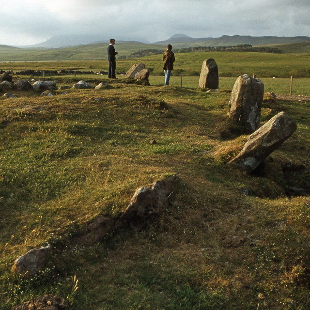
Moss Farm Road Stone Circle
Now thought to be a burial cairn. See Link
Comparison with David Baird's 2013 photo NR9032 : Burial cairn or stone circle? shows that the rounded granite stones in the centre have been removed.
Comparison with David Baird's 2013 photo NR9032 : Burial cairn or stone circle? shows that the rounded granite stones in the centre have been removed.
 Map © Crown Copyright")
TIP: Click the map for more Large scale mapping
- Grid Square
- NR9032, 90 images (more nearby 🔍)
- Photographer
- Ian Taylor (more nearby)
- Date Taken
- Friday, 30 May, 1980 (more nearby)
- Submitted
- Sunday, 28 January, 2018
- Subject Location
-
OSGB36:
 NR 900 326 [100m precision]
WGS84: 55:32.5299N 5:19.7441W - Camera Location
-
OSGB36: NR 900 326
- View Direction
- NORTH (about 0 degrees)